Thunder Lake Stock Campsite
Campground
Campground · < 0.1 mi from the trail
Closure in the area
There's a closure order in Rocky Mountain National Park. It doesn't name Thunder Lake Trail, so check the source for the area it covers.
Prescribed Fire Operations are Underway near Beaver Meadows Visitor Center
Park closure covering Rocky Mountain National Park · NPS · Rocky Mountain National Park
As of · Source: NPS · Rocky Mountain National Park. Agencies don't list every closure — check before you go.
Thunder Lake Trail is a 4.5-mile out-and-back hike located in Colorado. The trail offers hikers the opportunity to experience Colorado's natural landscape on a moderate-length route suitable for various skill levels. The out-and-back format means hikers will travel to a destination point and return via the same route, covering a total distance of 4.5 miles round trip. This trail structure provides flexibility for hikers to adjust their experience by turning back at any point along the way. The trail is situated in Colorado's scenic terrain, making it accessible for day hikes. The out-and-back design eliminates navigation concerns about finding alternate routes, allowing hikers to focus on enjoying the natural surroundings and their pace. Thunder Lake Trail is ideal for those seeking a straightforward hiking experience in Colorado without the complexity of loop trails or multiple route options. The moderate distance makes it manageable for most hikers looking to spend a few hours on the trail.
Thunder Lake Stock Campsite
Campground
Rock Creek Tavern and Pizzeria
Restaurant
 If it rainsMatt Golon, CC BY-SA 3.0 · Wikimedia Commons
Places © OpenStreetMap contributors · Photos: Matt Golon, CC BY-SA 3.0 (commons)
More in Estes ParkNot on Roamze yet. Their page has how to reach them.
Source: Roamze catalog (indexable pages within 10 miles, PostGIS distance)
 Ouzel Lake TrailHiking · ~4 min drivePhoto: nickavarvel, CC BY 2.0 (via Flickr)
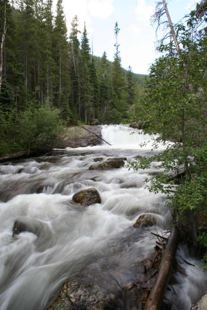 Hidden FallsHiking · ~7 min drivePhoto: objectfox, CC BY 2.0 (via Flickr)
 North Longs Peak TrailHiking · ~7 min drivePhoto: Yssso, CC BY-SA 2.0 (via Flickr)
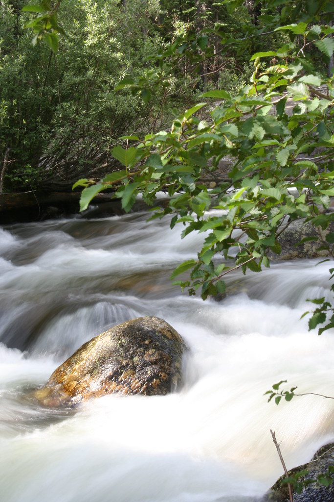 Finch Lake - Pear Lake TrailHiking · ~7 min drivePhoto: objectfox, CC BY 2.0 (via Flickr)
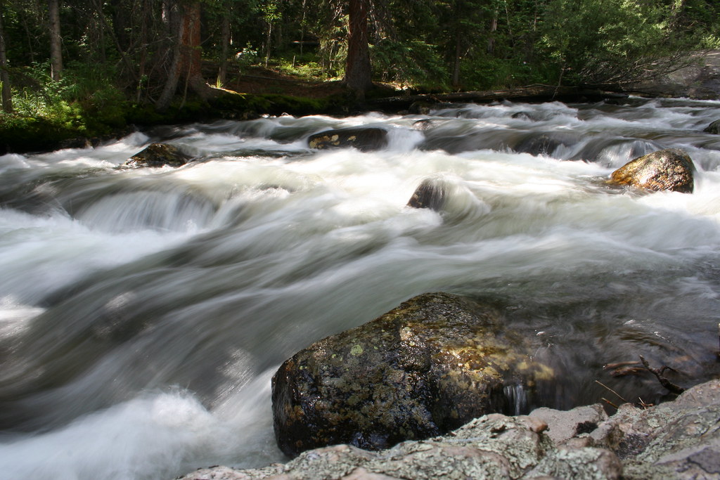 Wild Basin TrailHiking · ~7 min drivePhoto: objectfox, CC BY 2.0 (via Flickr)Ogalalla PeakHiking · ~7 min drivePhoto: objectfox, CC BY 2.0 (via Flickr)
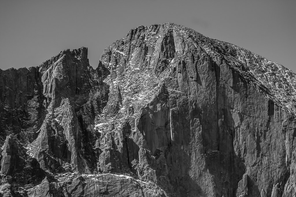 Longs Peak TrailHiking · ~10 min drivePhoto: markbyzewski, CC BY 2.0 (via Flickr)
 Allenspark TrailHiking · ~7 min drivePhoto: nickavarvel, CC BY 2.0 (via Flickr)
 Andrews Glacier TrailHiking · ~8 min drivePhoto: christinejwarner, CC BY 2.0 (via Flickr)
Also worth it near here
Best months: June and September. Best months have typical highs of 55–85 °F, lows of 30 °F or warmer (32 °F where the station doesn't record snow), at most one snowy day and no more than 12 wet days.
Jan
29° / 12°
15 wet
Feb
28° / 11°
16 wet
Mar
36° / 17°
16 wet
Apr
40° / 22°
17 wet
May
50° / 29°
16 wet
Jun
62° / 36°
12 wet
Jul
68° / 43°
14 wet
Aug
66° / 41°
13 wet
Sep
59° / 34°
10 wet
Oct
47° / 26°
10 wet
Nov
35° / 19°
12 wet
Dec
28° / 12°
15 wet
Typical high / low (°F) and days with rain or snow, 1991–2020. Measured at Boulder 14 W, CO, 14 mi away at 9,828 ft. The station sits about 800 ft lower than this place, so expect it a little cooler here. This station doesn't record snowfall. Source: NOAA NCEI U.S. Climate Normals 1991–2020.
Map and trail data © OpenStreetMap contributors


