Longs Peak Campground
Campground
Campground · 0.2 mi from the trail
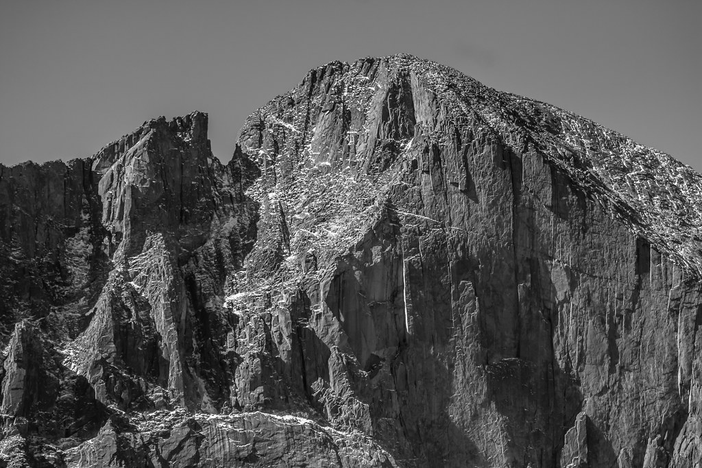 Photo: markbyzewski, CC BY 2.0 (via Flickr)
Closure in the area
There's a closure order in Rocky Mountain National Park. It doesn't name Longs Peak Trail, so check the source for the area it covers.
Prescribed Fire Operations are Underway near Beaver Meadows Visitor Center
Park closure covering Rocky Mountain National Park · NPS · Rocky Mountain National Park
As of · Source: NPS · Rocky Mountain National Park. Agencies don't list every closure — check before you go.
Longs Peak Trail is a 6.8-mile out-and-back hike located near Colorado in Colorado. This route offers hikers a substantial journey through the Rocky Mountain landscape. The out-and-back format means visitors will retrace their steps on the return journey, making route-finding straightforward. The trail provides access to one of Colorado's most iconic peaks and is popular with hikers seeking a challenging mountain experience. The 6.8-mile distance reflects the one-way trek, so plan for approximately 13.6 miles of total hiking for the full out-and-back route. This hike is suitable for those with moderate to advanced hiking experience. Hikers should come prepared with adequate water, weather-appropriate gear, and sturdy footwear. Given the mountain elevation and exposure typical of peak trails in this region, weather conditions can change rapidly, so checking forecasts before heading out is recommended. The trail offers rewarding views and a sense of accomplishment for those who complete the full distance. This is a popular destination during the hiking season, so arriving early can help secure parking and beat crowds.
Longs Peak Campground
Campground
Spruce Dining
Restaurant
 If it rainsMatt Golon, CC BY-SA 3.0 · Wikimedia Commons
Places © OpenStreetMap contributors · Photos: Matt Golon, CC BY-SA 3.0 (commons)
More in Estes ParkNot on Roamze yet. Their page has how to reach them.
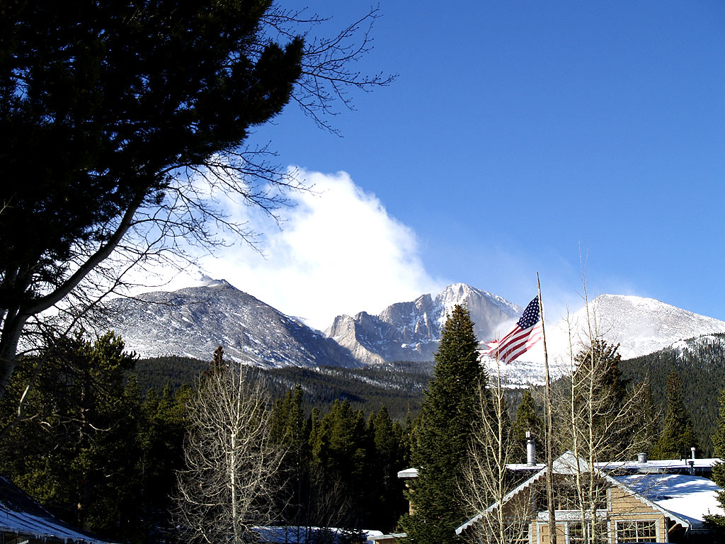 Photo: mdowman, CC BY 2.0 (via Flickr)
Columbine Ranch - Moore Park Trail
~1 min drive
1.34-mile out-and-back hike in Colorado with 298 ft gain.
 Photo: KamenG, CC BY-SA 4.0 (via Wikimedia Commons)
Estes Cone Trail
~2 min drive
1.34-mile out-and-back trail in Colorado with 601 ft gain and 10,265 ft max elevation.
 Photo: Yssso, CC BY-SA 2.0 (via Flickr)
North Longs Peak Trail
~4 min drive
11 mi · Expert
HIKE
Astronomy in the Park at Park & Ride
~8 min drive
Astronomy in the Park Join us on the east side of Rocky Mountain National Park at Park & Ride Parking Area for an evening under the stars. The program begins at 8:30 p.m. and ends at 11 p.m. Astronomy in the Park will take place on the following days: Friday, June 27 Friday…
HIKE
Storm Pass Trail
~3 min drive
5.90-mile trail in Colorado with 1,800 ft elevation gain and 11,200 ft max elevation.
 Photo: raniel diaz, CC BY 2.0 (via Flickr)
Connector Trail Between Wb-22 And Wb-23
~4 min drive
1.76-mile out-and-back connector trail between WB-22 and WB-23 in Colorado.
 Photo: lamblukas, CC BY 2.0 (via Flickr)
Aspen Brook Trail
~4 min drive
1.80-mile trail in Colorado with 400 ft elevation gain.
 Photo: objectfox, CC BY 2.0 (via Flickr)
Mount Alice
~8 min drive
Route to the summit of Mount Alice (13,281 ft) from Wild Basin Trailhead (RMNP).
Photo: KamenG, CC BY-SA 4.0 (via Wikimedia Commons)Lily Ridge Trail
~4 min drive
1.42-mile out-and-back trail in Colorado with 457 ft elevation gain and loss.
 Photo: Vadim Manuylov, CC BY-SA 3.0 (via Wikimedia Commons)
Storm Pass Trail
~4 min drive
0.94-mile out-and-back trail in Colorado with 306 ft elevation gain.
Also worth it near here
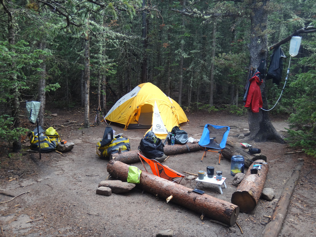 Photo: dionhinchcliffe — CC BY-SA 2.0 (via Flickr)
Goblins Forest
~1 min drive
 Photo: Dave Snowden, CC BY-SA 2.0 (via Flickr)
Half & Half Crag
~4 min drive
 Photo: Hogs555, CC BY-SA 3.0 (via Wikimedia Commons)
Mount Meeker
~5 min drive
 Photo: Dustin Delatore whosdustin, CC0 (via Wikimedia Commons)
Deer Ridge
~6 min drive
Park at Longs Peak Trailhead.
About 13.7 mi round trip from Longs Peak Trailhead (about 9,392 ft).
About 4,856 ft of climbing round trip.
It is rated hard.
Longs Peak Trailhead (about 9,392 ft).
Daily highs and lows, wind and the chance of precipitation at the summit and route start for the next 7 days, from the Open-Meteo model.
Map and trail data © OpenStreetMap contributors
