Stoner Mesa Trail
- 11.2 mi
- round trip
- 3,097 ft
- climb
- 9,943 ft
- high point
- Out and back
- route
Is Stoner Mesa Trail open right now?
Closure in the area
There's a closure order in San Juan National Forest. It doesn't name Stoner Mesa Trail, so check the source for the area it covers (3 listed).
Travel is not advised to the San Juan NF
Agency closure covering San Juan National Forest · USFS · San Juan National Forest
Closures and dangerous conditions on roads, bridges, and trails from flooding
Agency closure covering San Juan National Forest · USFS · San Juan National Forest
Multiple roads and trails damaged by flooding on SJNF
Agency closure covering San Juan National Forest · USFS · San Juan National Forest
Bear Activity High Across San Juan National Forest
Agency alert covering San Juan National Forest · USFS · San Juan National Forest
As of · Source: USFS · San Juan National Forest. Agencies don't list every closure — check before you go.
Stoner Mesa Trail is an out-and-back hike in Colorado's San Juan National Forest, within the Mancos/Dolores Ranger District. The route is 22.3 miles long, with a total elevation gain of 3,097 feet, and it is rated expert. The trail starts at 7,563 feet and climbs to a high point of 9,943 feet, with the steepest stretch at the very beginning, where the grade reaches 34 percent. The climb is front-loaded, so the hardest part comes early. The round trip is about 9 hours, and the trail is managed by the Forest Service. Mavreeso Campground sits about 2.5 miles away, and West Dolores Campground is about 3.8 miles off. The Boggy Lookout Trail and Boggy Upper Loop Trail are both about 3.3 miles away.
Local outfitters
- Sundance RV Park24 mi away
- HTR Resorts32 mi away
Not on Roamze yet. Their page has how to reach them.
 Mavreeso CampgroundCampingPhoto: Recreation.gov (RIDB) / public domain2.5 mi
- Boggy Lookout TrailHiking3.3 mi
- Boggy Upper Loop TrailHiking3.3 mi
- MavreesoHiking3.7 mi
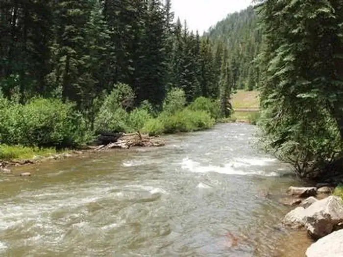 West Dolores CampgroundCampingPhoto: Recreation.gov (RIDB) / public domain3.8 mi
- Beaver CreekCanoeing4.6 mi
- Upper 7-Mile BouldersRock climbing8.4 mi
- Brass Monkey AreaRock climbing8.5 mi
Source: Roamze catalog (indexable pages within 10 miles, PostGIS distance)
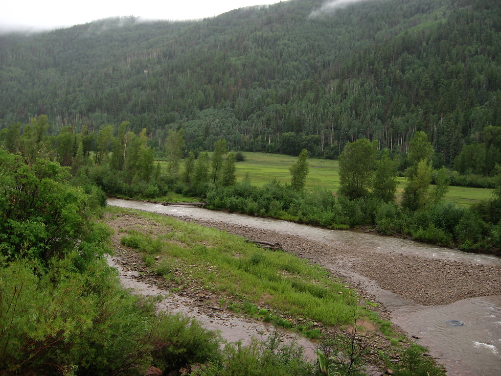 Little TaylorHiking · ~13 min drivePhoto: Ken Lund, CC BY-SA 2.0 (via Flickr)
- Boggy Upper Loop TrailHiking · ~6 min drive
- Boggy Lookout TrailHiking · ~6 min drive
- Calico South TrailHiking · ~17 min drive
- MavreesoHiking · ~6 min drive
- Loading Pen TrailHiking · ~8 min drive
- Boggy Upper Loop TrailHiking · ~7 min drive
- Priest Gulch TrailHiking · ~17 min drive
- BOGGY UPPER LOOPHiking · ~9 min drive
- Boggy Upper Loop TrailHiking · ~11 min drive

Map and trail data © OpenStreetMap contributors
