Boggy Upper Loop Trail
- 0.4 mi
- round trip
- 81 ft
- climb
- 8,424 ft
- high point
- Out and back
- route
- Apr–Oct
- best months
Is Boggy Upper Loop Trail open right now?
Closure in the area
There's a closure order in San Juan National Forest. It doesn't name Boggy Upper Loop Trail, so check the source for the area it covers (3 listed).
Travel is not advised to the San Juan NF
Agency closure covering San Juan National Forest · USFS · San Juan National Forest
Closures and dangerous conditions on roads, bridges, and trails from flooding
Agency closure covering San Juan National Forest · USFS · San Juan National Forest
Multiple roads and trails damaged by flooding on SJNF
Agency closure covering San Juan National Forest · USFS · San Juan National Forest
Bear Activity High Across San Juan National Forest
Agency alert covering San Juan National Forest · USFS · San Juan National Forest
As of · Source: USFS · San Juan National Forest. Agencies don't list every closure — check before you go.
Boggy Upper Loop Trail is a short out-and-back hike in Colorado covering 0.86 miles with 81 feet of elevation gain. The trail reaches a maximum elevation of 8,424 feet.
Local outfitters
- Sundance RV Park20 mi away
- HTR Resorts31 mi away
Not on Roamze yet. Their page has how to reach them.
- Nearby · Little Taylor · Boggy Upper Loop Trail · Boggy Lookout Trail
Best time to go · Apr–Oct
Best time to visit Boggy Upper Loop Trail
Best months: April–October. Best months have typical highs of 55–85 °F, lows of 30 °F or warmer (32 °F where the station doesn't record snow), at most one snowy day and no more than 12 wet days.
Jan
35° / 22°
9 wet
Feb
38° / 24°
8 wet
Mar
47° / 30°
8 wet
Apr
55° / 35°
7 wet
May
65° / 44°
6 wet
Jun
76° / 54°
4 wet
Jul
82° / 58°
10 wet
Aug
79° / 57°
9 wet
Sep
71° / 50°
7 wet
Oct
58° / 40°
6 wet
Nov
45° / 30°
6 wet
Dec
35° / 22°
9 wet
Typical high / low (°F) and days with rain or snow, 1991–2020. Measured at Cortez 8 Se, CO, 23.9 mi away at 8,034 ft. This station doesn't record snowfall. Source: NOAA NCEI U.S. Climate Normals 1991–2020.
Keep exploring — more trails worth the drive
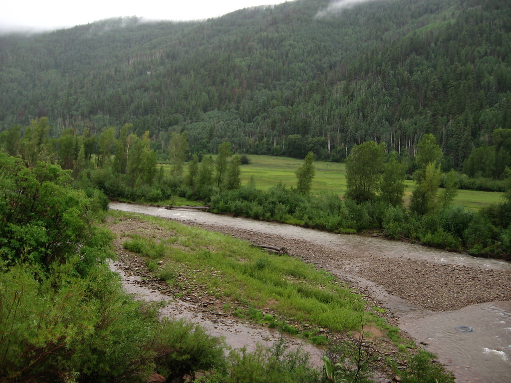 Photo: Ken Lund, CC BY-SA 2.0 (via Flickr)
Little Taylor
~16 min drive
7.44-mile out-and-back trail in Colorado with 1,707 ft gain and 10,242 ft max elevation.
HIKE
Boggy Upper Loop Trail
~1 min drive
6.14-mile out-and-back hike in Colorado with 661 ft elevation gain/loss.
HIKE
Boggy Lookout Trail
~1 min drive
1.48-mile out-and-back hike in Colorado with 129 ft of elevation gain.
HIKE
Stoner Mesa Trail
~7 min drive
22.32-mile out-and-back trail in Colorado with 3,097 ft elevation gain and loss.
 Photo: GSEC, CC BY 2.0 (via Flickr)
Mcphee Overlook
~19 min drive
17.20-mile out-and-back trail in Colorado with 763 ft elevation gain.
HIKE
Boggy Upper Loop Trail
~4 min drive
6.12-mile out-and-back hike in Colorado with 875 ft elevation gain.
HIKE
Boggy Lower Loop Trail
~7 min drive
2.8-mile out-and-back hike in Colorado with 190 ft gain/loss.
HIKE
BOGGY UPPER LOOP
~3 min drive
17.02-mile out-and-back trail in Colorado with 1,872 ft elevation gain.
HIKE
Mcneil West
~8 min drive
4.48-mile out-and-back trail in Colorado managed by San Juan National Forest.
HIKE
Speedy's Loop
~10 min drive
2.7-mile out-and-back trail in Colorado with 232 ft elevation gain
Map and trail data © OpenStreetMap contributors
