Boggy Upper Loop
- 8.5 mi
- round trip
- 1,872 ft
- climb
- 8,469 ft
- high point
- Out and back
- route
- Apr–Jun, Aug–Oct
- best months
Is BOGGY UPPER LOOP open right now?
Closure in the area
There's a closure order in San Juan National Forest. It doesn't name BOGGY UPPER LOOP, so check the source for the area it covers (3 listed).
Travel is not advised to the San Juan NF
Agency closure covering San Juan National Forest · USFS · San Juan National Forest
Closures and dangerous conditions on roads, bridges, and trails from flooding
Agency closure covering San Juan National Forest · USFS · San Juan National Forest
Multiple roads and trails damaged by flooding on SJNF
Agency closure covering San Juan National Forest · USFS · San Juan National Forest
Bear Activity High Across San Juan National Forest
Agency alert covering San Juan National Forest · USFS · San Juan National Forest
As of · Source: USFS · San Juan National Forest. Agencies don't list every closure — check before you go.
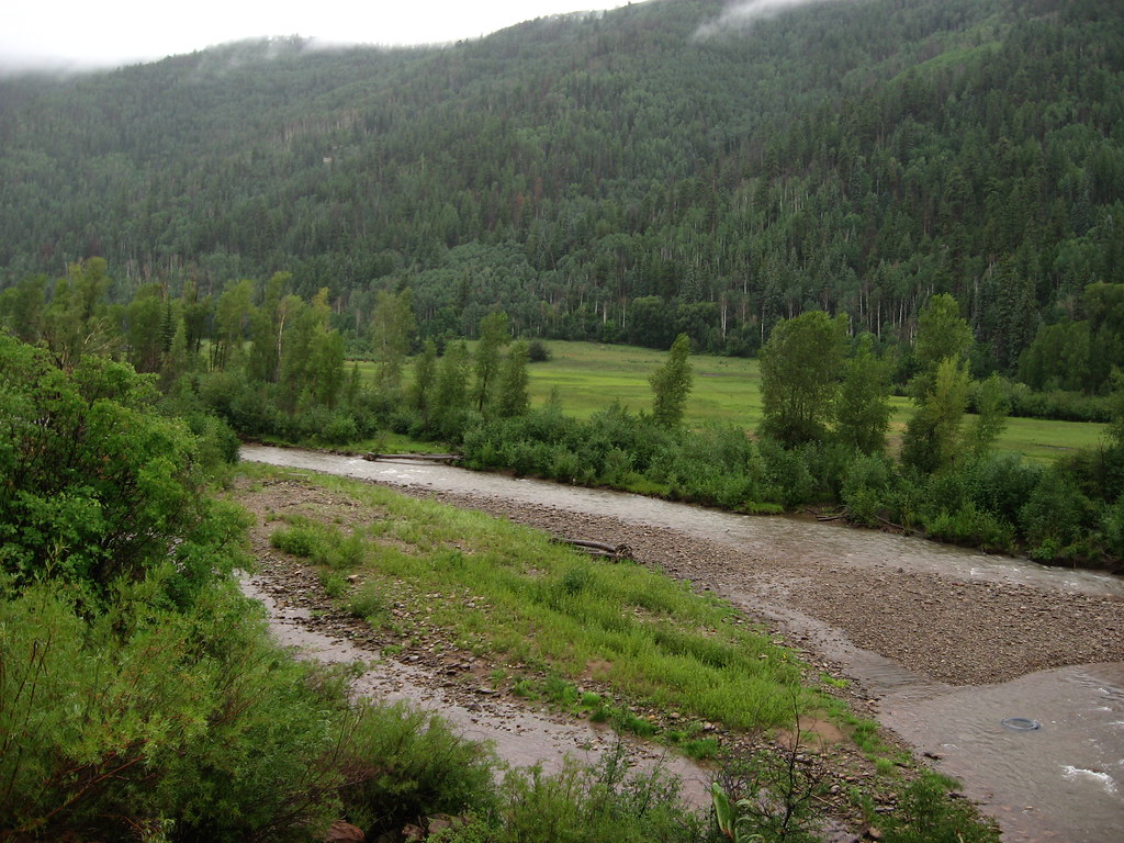
Boggys Upper Loop is a hard hike in the Mancos/Dolores Ranger District of Colorado's San Juan National Forest, managed by the Forest Service. The route is an out-and-back of about 17 miles, with a total elevation gain of 1,872 feet. The climb is steady, and the steepest stretch comes at about 5.1 miles, where the grade reaches 15 percent. The high point is 8,469 feet, and the trail starts at 8,163 feet. The most comfortable months for a visit are typically June and September. A nearby weather station records typical average highs of 81°F in June and 75°F in September, with July the warmest at 86°F. That station sits about 1,400 feet lower than the trail, so temperatures on the route run cooler. The trip takes about 6.5 hours. The Boggy Upper Loop Trail lies 0.8 miles away, and the Boggy Lookout Trail is 2.2 miles off. Climbers can head to the Upper 7-Mile Boulders, about 3 miles away, and House Creek campground is roughly 8 miles from the trail.
Local outfitters
- Sundance RV Park18 mi away
- HTR Resorts32 mi away
Not on Roamze yet. Their page has how to reach them.
- Boggy Upper Loop TrailHiking0.8 mi
- Boggy Lookout TrailHiking2.2 mi
- Upper 7-Mile BouldersRock climbing3 mi
- Brass Monkey AreaRock climbing3.1 mi
- Beaver CreekCanoeing7.7 mi
- House CreekCamping7.8 mi
 Mavreeso CampgroundCampingPhoto: Recreation.gov (RIDB) / public domain7.9 mi
- House Creek Boating SiteRiver fishing8.2 mi
Source: Roamze catalog (indexable pages within 10 miles, PostGIS distance)
 Mcphee OverlookHiking · ~16 min drivePhoto: GSEC, CC BY 2.0 (via Flickr)
- Boggy Upper Loop TrailHiking · ~1 min drive
- Boggy Upper Loop TrailHiking · ~3 min drive
- Stoner Mesa TrailHiking · ~9 min drive
 Little TaylorHiking · ~19 min drivePhoto: Ken Lund, CC BY-SA 2.0 (via Flickr)
- Boggy Upper Loop TrailHiking · ~4 min drive
- Boggy Lookout TrailHiking · ~4 min drive
- Tava YaakwiHiking · ~6 min drive
- Mcneil WestHiking · ~6 min drive
- Boggy Lower Loop TrailHiking · ~4 min drive
Best time to visit BOGGY UPPER LOOP
Best months: April–June and August–October. Best months have typical highs of 55–85 °F, lows of 30 °F or warmer (32 °F where the station doesn't record snow), at most one snowy day and no more than 12 wet days.
Jan
40° / 17°
Feb
42° / 19°
Mar
51° / 27°
Apr
60° / 33°
May
69° / 40°
Jun
81° / 50°
Jul
86° / 55°
Aug
83° / 55°
Sep
75° / 47°
Oct
63° / 36°
Nov
50° / 26°
Dec
40° / 18°
Typical high / low (°F) and days with rain or snow, 1991–2020. Measured at Yellow Jacket 4ne, CO, 14 mi away at 7,090 ft. The station sits about 1,400 ft lower than this place, so expect it a little cooler here. This station doesn't record snowfall. Source: NOAA NCEI U.S. Climate Normals 1991–2020.
