Spruce Canyon Trail
- Loop
- route
- Apr–Jun, Aug–Oct
- best months
Is Spruce Canyon Trail open right now?
No closures listed
The National Park Service lists no closures for Mesa Verde National Park.
As of · Source: NPS · Mesa Verde National Park. Agencies don't list every closure — check before you go.
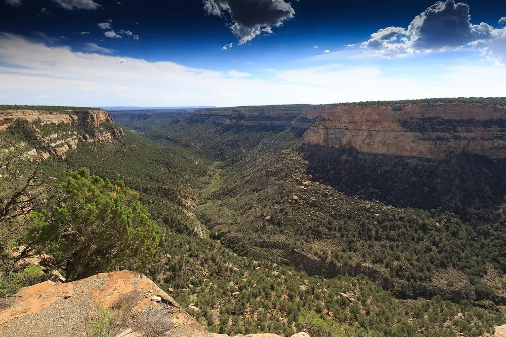
The Spruce Canyon Trail offers an opportunity to explore the canyon bottoms of Mesa Verde and discover the plants and wildlife that live in this habitat. Parts of this canyon trail offers the shade of Douglas Fir trees and the coolness and humidity of a natural wetland area. The presence of water in the canyon attracts an abundance of birds and other wildlife. Trail Description Starting at the Spruce Tree House Overlook near the Museum, this 2.4 miles (3.9 km) scenic loop trail follows the bottom of Spruce Canyon, and winds through excellent wildlife habitat. A steep climb leads out of the canyon and then passes through the picnic area before returning to the museum. Be Prepared Moderately Strenuous to Strenuous Be familiar with safety information before beginning this hike Allot 2 hours for hiking this trail Access into Spruce Tree House is currently strictly prohibited due to danger of rock fall. For Your Safety Dehydration and altitude sickness are common problems at Mesa Verde. Drink water and rest often. Avoid hiking during the hottest part of the day. While hiking, remain on the trail and avoid walking along unstable cliff edges. Pets and bicycles are not allowed on the trail. Please respect wildlife by observing them from a distance. Trails are day-use only. Trail Data 2.4 miles (3.9 km) loop 558 ft (170 m) elevation change Allow about 2 hours to complete
Local outfitters
- Sundance RV Park12 mi away
- HTR Resorts31 mi away
Not on Roamze yet. Their page has how to reach them.
- Petroglyph Point TrailHiking0.1 mi
 Introduction & PithouseHikingPhoto: Will Thomas — Wikimedia Commons (CC BY-SA 3.0)1 mi
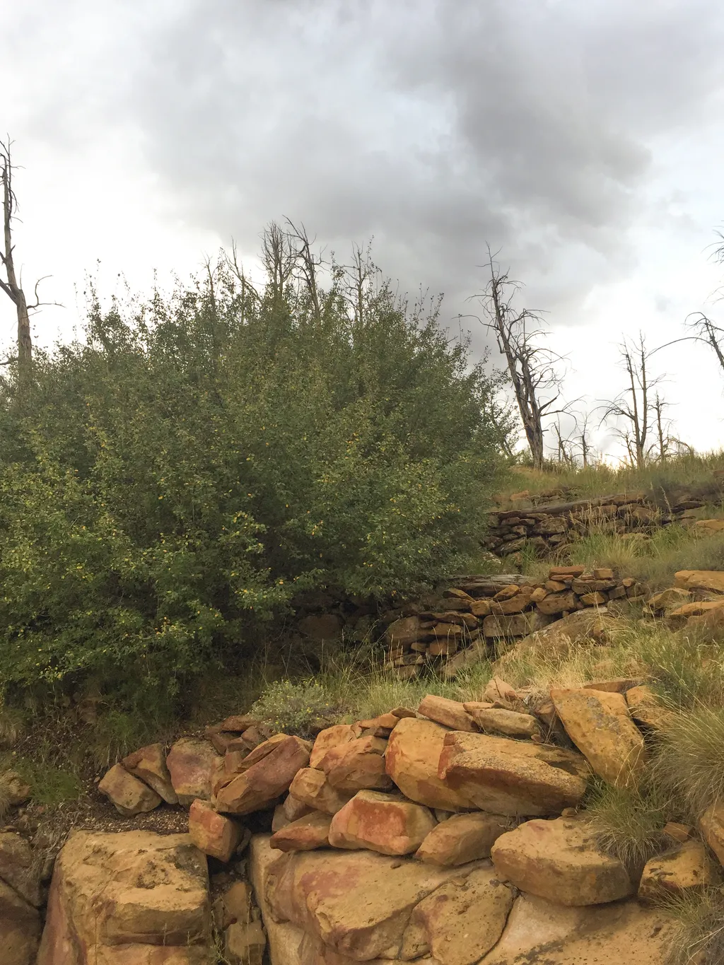 Farming Terrace TrailHikingPhoto: NPS / public domain1 mi
 Square Tower HouseHikingPhoto: Will Thomas — Wikimedia Commons (CC BY-SA 3.0)1.2 mi
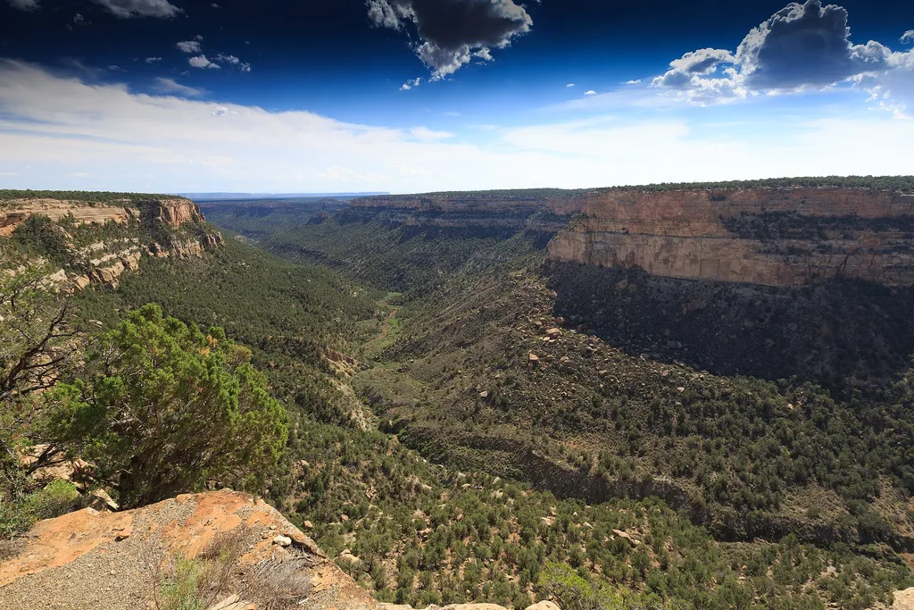 Navajo Canyon ViewHikingPhoto: Will Thomas — Wikimedia Commons (CC BY-SA 3.0)1.2 mi
 Mancos Canyon CampgroundCampingPhoto: Matt Lavin, CC BY-SA 4.0 (via Wikimedia Commons)6.5 mi
- Mancos RiverCanoeing8 mi
 Morefield CampgroundCampingPhoto: Niagara66, CC BY-SA 4.0 (via Wikimedia Commons)9 mi
Source: Roamze catalog (indexable pages within 10 miles, PostGIS distance)
 Spruce Canyon TrailHiking · Next doorPhoto: xiquinhosilva, CC BY 2.0 (via Flickr)
 Mesa Top Loop Sites TrailHiking · ~2 min drivePhoto: w_lemay, CC BY-SA 2.0 (via Flickr)
- Introduction & PithouseHiking · ~2 min drive
 Pack TrailHiking · ~3 min drivePhoto: Fredlyfish4, CC BY-SA 4.0 (via Wikimedia Commons)
- Old Tourist Trail (Pack Trail)Hiking · ~10 min drive
 Prater Ridge South Loop TrailHiking · ~14 min drivePhoto: w_lemay, CC BY-SA 2.0 (via Flickr)
 Farm Terrace TrailHiking · ~2 min drivePhoto: xiquinhosilva, CC BY 2.0 (via Flickr)
- Farming Terrace TrailHiking · ~2 min drive
- APW TrailHiking · ~2 min drivePhoto: Fredlyfish4, CC BY-SA 4.0 (via Wikimedia Commons)
- Square Tower HouseHiking · ~2 min drive
Also worth it near here
 Wetherill MesaSummit · ~9 min drivePhoto: Ken Lund from Las Vegas, Nevada, USA, CC BY-SA 2.0 (via Wikimedia Commons)
- Mancos Canyon CampgroundCamping · ~11 min drivePhoto: Matt Lavin, CC BY-SA 4.0 (via Wikimedia Commons)
- Mancos RiverCanoeing · ~14 min drive
- Cortez - Hawkins PreserveRock climbing · ~20 min drive
Best time to visit Spruce Canyon Trail
Best months: April–June and August–October. Best months have typical highs of 55–85 °F, lows of 30 °F or warmer (32 °F where the station doesn't record snow), at most one snowy day and no more than 12 wet days.
Jan
40° / 20°
8 wet
Feb
43° / 23°
8 wet
Mar
51° / 30°
7 wet
Apr
59° / 34°
6 wet
May
69° / 43°
6 wet
Jun
81° / 52°
4 wet
Jul
86° / 59°
8 wet
Aug
84° / 57°
10 wet
Sep
76° / 50°
8 wet
Oct
63° / 39°
6 wet
Nov
50° / 29°
6 wet
Dec
40° / 20°
7 wet
Typical high / low (°F) and days with rain or snow, 1991–2020. Measured at Mesa Verde Np, CO, 1.1 mi away at 7,142 ft. This station doesn't record snowfall. Source: NOAA NCEI U.S. Climate Normals 1991–2020.
