APW Trail
 Photo: Fredlyfish4, CC BY-SA 4.0 (via Wikimedia Commons)
- 1.5 mi
- round trip
- 949 ft
- climb
- 7,188 ft
- high point
- Out and back
- route
- Apr–Jun, Aug–Oct
- best months
Clear today
Weather is good · OpenWeather · checked 11 h ago
Is APW Trail open right now?
No closures listed
The National Park Service lists no closures for Mesa Verde National Park.
As of · Source: NPS · Mesa Verde National Park. Agencies don't list every closure — check before you go.
APW Trail is a short, easy out-and-back hike in Mesa Verde National Park in Colorado, managed by the National Park Service. The trail is about 3 miles long, with a total elevation gain of roughly 950 feet, and it starts and ends at about 6,750 feet. The high point on the route reaches about 7,188 feet, and the climb is front-loaded, with the steepest stretch at about 1.4 miles in, where the grade reaches 37 percent. The most comfortable months for a visit are typically late spring and early fall. Typical averages from a nearby weather station show May highs around 69°F and September highs around 76°F, while July averages climb to about 86°F and winter highs sit near 40°F. The trail makes an easy pairing with other hikes in the park. Farming Terrace Trail is about 0.3 miles away and Pack Trail about 0.6 miles. Petroglyph Point Trail and Spruce Canyon Trail are each about 1.3 miles off.
Local outfitters
- Sundance RV Park11 mi away
- HTR Resorts30 mi away
Not on Roamze yet. Their page has how to reach them.
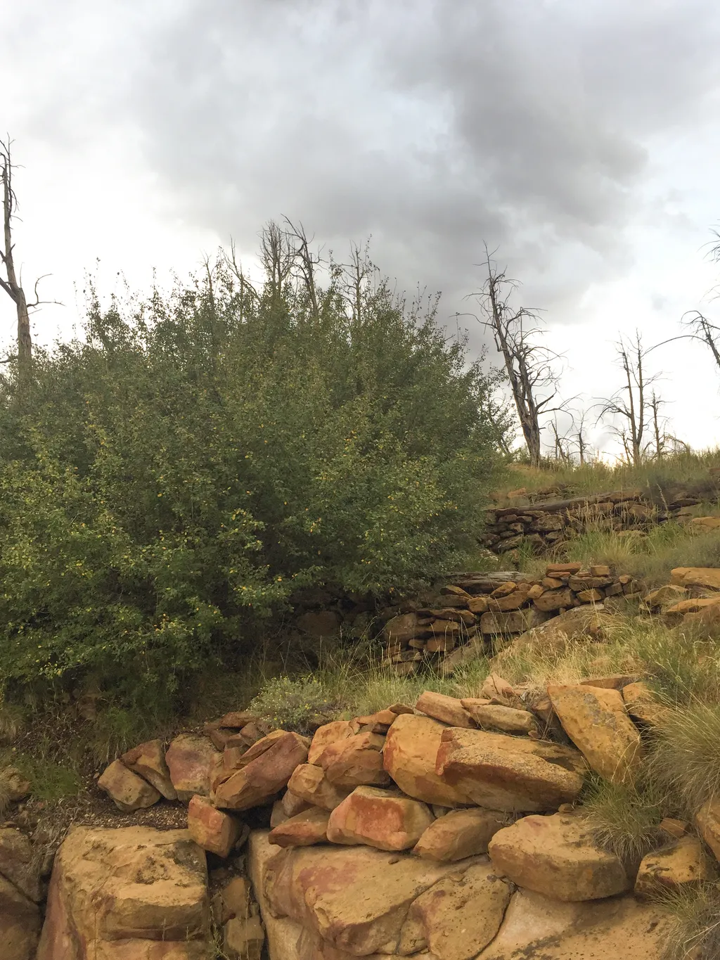 Farming Terrace TrailHikingPhoto: NPS / public domain0.3 mi
- Pack TrailHikingPhoto: Fredlyfish4, CC BY-SA 4.0 (via Wikimedia Commons)0.6 mi
- Petroglyph Point TrailHiking1.3 mi
- Spruce Canyon TrailHiking1.3 mi
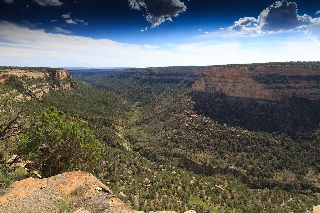 Introduction & PithouseHikingPhoto: Will Thomas — Wikimedia Commons (CC BY-SA 3.0)2.3 mi
 Morefield CampgroundCampingPhoto: Niagara66, CC BY-SA 4.0 (via Wikimedia Commons)7.7 mi
 Mancos Canyon CampgroundCampingPhoto: Matt Lavin, CC BY-SA 4.0 (via Wikimedia Commons)7.7 mi
- Mancos RiverCanoeing9.2 mi
Source: Roamze catalog (indexable pages within 10 miles, PostGIS distance)
 Farm Terrace TrailHiking · Next doorPhoto: xiquinhosilva, CC BY 2.0 (via Flickr)
- Farming Terrace TrailHiking · Next door
- Pack TrailHiking · ~1 min drivePhoto: Fredlyfish4, CC BY-SA 4.0 (via Wikimedia Commons)
 Spruce Canyon TrailHiking · ~3 min drivePhoto: xiquinhosilva, CC BY 2.0 (via Flickr)
- Old Tourist Trail (Pack Trail)Hiking · ~8 min drive
 Mesa Top Loop Sites TrailHiking · ~4 min drivePhoto: w_lemay, CC BY-SA 2.0 (via Flickr)
- Introduction & PithouseHiking · ~4 min drive
 Prater Ridge South Loop TrailHiking · ~12 min drivePhoto: w_lemay, CC BY-SA 2.0 (via Flickr)
- Cliff Palace ViewHiking · ~4 min drive
- Soda Canyon Overlook TrailHiking · ~4 min drive
Also worth it near here
 Wetherill MesaSummit · ~8 min drivePhoto: Ken Lund from Las Vegas, Nevada, USA, CC BY-SA 2.0 (via Wikimedia Commons)
- Morefield CampgroundCamping · ~13 min drivePhoto: Niagara66, CC BY-SA 4.0 (via Wikimedia Commons)
- Mancos RiverCanoeing · ~16 min drive
- Cortez - Hawkins PreserveRock climbing · ~19 min drive
Best time to visit APW Trail
Best months: April–June and August–October. Best months have typical highs of 55–85 °F, lows of 30 °F or warmer (32 °F where the station doesn't record snow), at most one snowy day and no more than 12 wet days.
Jan
40° / 20°
8 wet
Feb
43° / 23°
8 wet
Mar
51° / 30°
7 wet
Apr
59° / 34°
6 wet
May
69° / 43°
6 wet
Jun
81° / 52°
4 wet
Jul
86° / 59°
8 wet
Aug
84° / 57°
10 wet
Sep
76° / 50°
8 wet
Oct
63° / 39°
6 wet
Nov
50° / 29°
6 wet
Dec
40° / 20°
7 wet
Typical high / low (°F) and days with rain or snow, 1991–2020. Measured at Mesa Verde Np, CO, 0.5 mi away at 7,142 ft. This station doesn't record snowfall. Source: NOAA NCEI U.S. Climate Normals 1991–2020.
Map and trail data © OpenStreetMap contributors
