


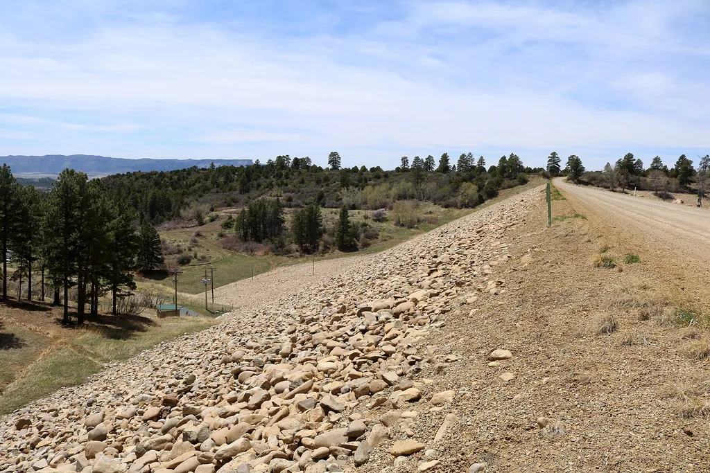
Sundance RV Park
Hiking business nearby (~11 mi away) — hasn't claimed their Roamze page yet
Farming Terrace Trail
Free — you'll pick up right here.
Watch this trail
Sign up to watch it — saving subscribes you to gate, closure and report changes.
Colorado
We won't guess. Here is exactly what we do and don't know.
What we do know
Inside Mesa Verde National Park
National Park unit boundary is mapped — agency alerts for it feed this page automatically.
Boundary data
What's missing
No access route mapped
We don't yet know which road reaches this trailhead, so we can't tell you if it's gated.
Nobody's filed a report here yet — be the first.
Why you'll love it
Farming Terrace Trail
AI-suggested draft · review before you go
No elevation data on file for this trail.
This short, moderate trail winds along a series of farming terraces built by the Ancestral Pueblo people. Constructing check dams in a natural drainage to create farming terraces was a useful dryland farming technique. Soil and moisture collected behind the check dams during summer thunderstorms and helped increase crop yields. Trail Description Beginning and ending on the spur road to Cedar Tree Tower, this 0.5-mile (0.8 km) loop trail leads through a series of check dams built by the Ancestral Pueblo people over 800 years ago. This trail is a great place to look for lizards, hummingbirds, and a wide variety of plants. Please respect these places by leaving archeological sites, artifacts, plants, and animals undisturbed for all those who follow you. Be Prepared Moderate Pets and bicycles are not allowed on trails. Trails are day-use only. For Your Safety Dehydration and altitude sickness are common problems at Mesa Verde. Drink water and rest often. Avoid hiking during the hottest part of the day. This trail has little shade. While hiking, remain on the trail to avoid walking along unstable cliff edges or fragile soils. Off-trail walking easily destroys the delicate cryptobiotic soil crusts that take decades to form and are essential to soil stability and plant growth in the deserts of the Southwest. Even the smallest impacts have big effects! Please respect wildlife by observing them from a distance. Trail Data 0.5 mile (0.8 km) to complete the loop 145 feet (44.2 m) elevation change Allow about 30 to 40 minutes to complete
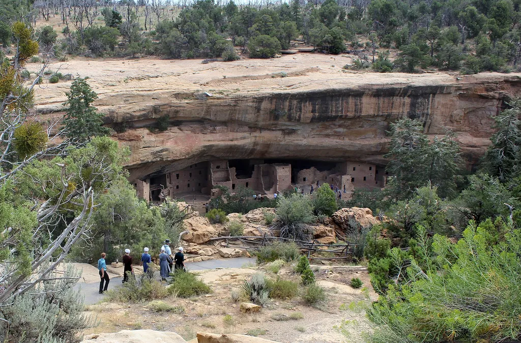
Spruce Canyon Trail
~2 min drive
<p>The Spruce Canyon Trail offers an opportunity to explore the canyon bottoms of Mesa Verde and discover the plants and wildlife that live in this habitat. Parts of this canyon trail offers the shade of Douglas Fir trees and the coolness and humidity of a natural wetland area…
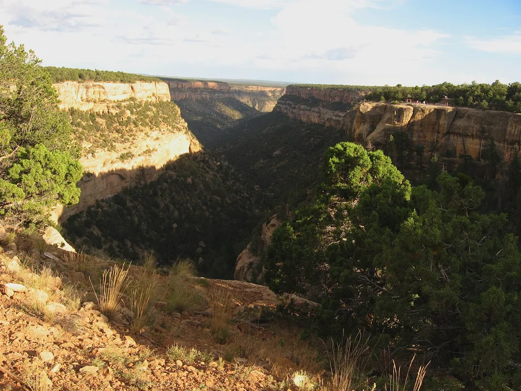
Cliff Palace View
~4 min drive
<p>Cliff Palace is North America’s largest cliff dwelling, with 150 rooms and 21 kivas. Cliff Palace was an important community center. It may have been an administrative site, an important place of business and cultural exchange, or simply a large village. It stands now as a…

Dolph Kuss
~32 min drive
3.1 mi · Moderate
Millset (Snow)
~32 min drive
6.7 mi · Hard
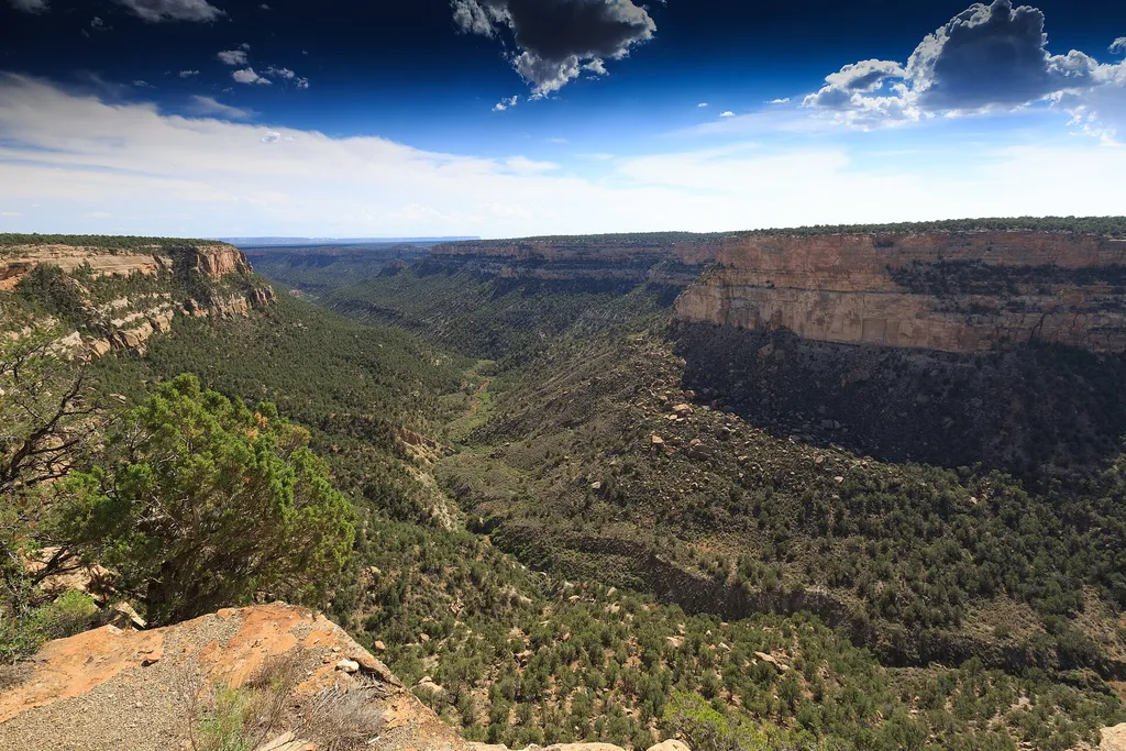
Introduction & Pithouse
~3 min drive
What makes a place a home? Abundant resources? Closeness to family? Generations of memories? Here you see one of the oldest permanent structures built on the mesa, where early Ancestral Pueblo settlers enjoyed many of the same comforts we enjoy in our homes today.<br /> <br />…
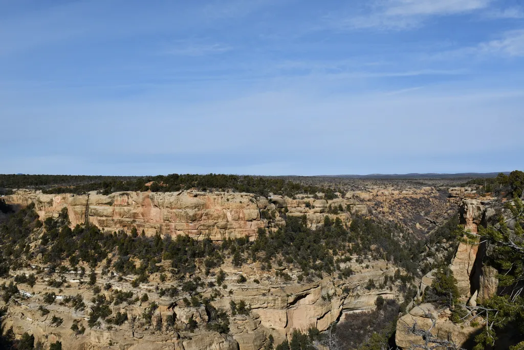
Cliff Canyon Overlook
~4 min drive
<em>Cliff Canyon Overlook and Cliff Palace Loop Road are open 8 am to sunset from late spring to December 1, or until the first significant snowfall.</em><br /> <br /> The Cliff Canyon Overlook opens up to a stunning view of Cliff Canyon. In the 1200s, Cliff Canyon was a thriv…
Dolph Kuss Loop (Snow)
~34 min drive
3.1 mi · Moderate

Mcphee Overlook
~33 min drive
17 mi · Hard
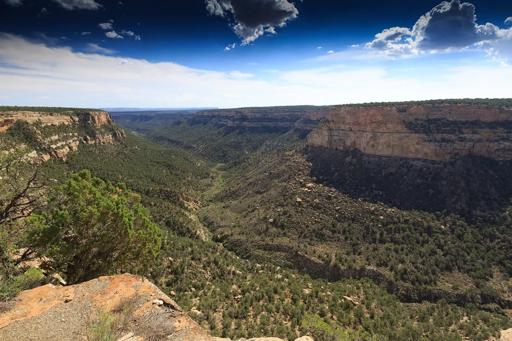
Navajo Canyon View
~4 min drive
Imagine you are an Ancestral Pueblo person looking for a place to build a home. Can you identify the resources that make this a good place to live?<br /> <br /> You are standing at 7,000 feet (2,130 m). This might seem like a high place to farm. However, the southward slope of…
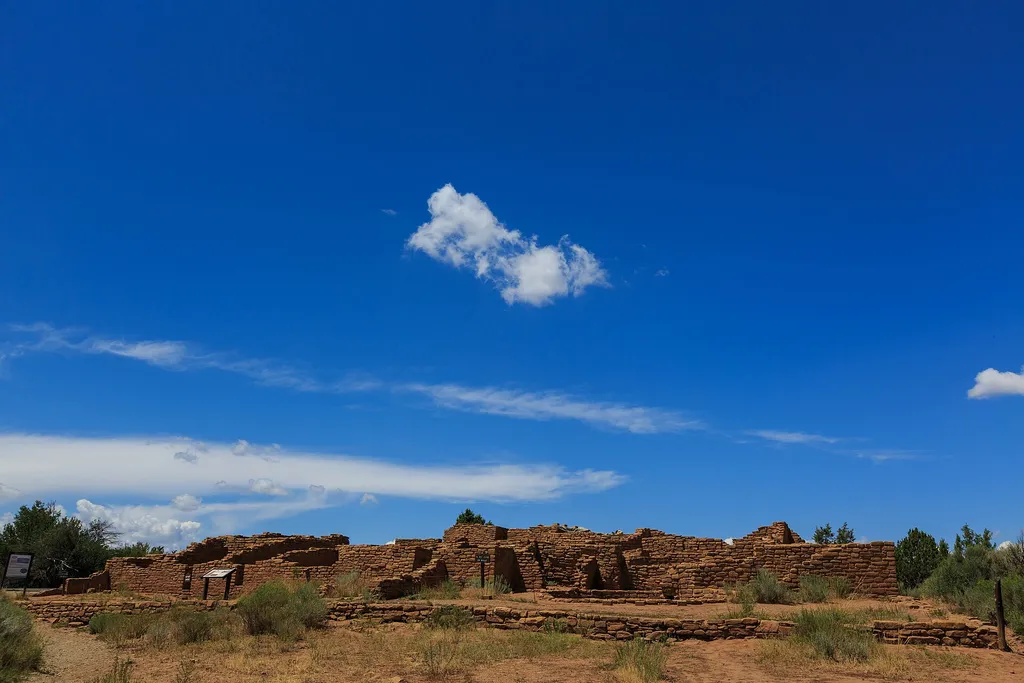
Far View Community Sites
~5 min drive
<p>The Far View area was once an extensive farming community and one of the most densely populated regions of the Mesa Verde. This mesa top community includes Far View House, Pipe Shrine House, Coyote Village, Far View Reservoir (currently dry), Megalithic House, and Far View…
Local operatorsoffering guided trips. You book directly with them — Roamze doesn’t take a cut.
Sundance RV Park
Hiking business nearby (~11 mi away) — hasn't claimed their Roamze page yet
HTR Resorts
Hiking business nearby (~30 mi away) — hasn't claimed their Roamze page yet
Alpen Rose RV Park
Hiking business nearby (~36 mi away) — hasn't claimed their Roamze page yet