Marshall Park
Campground
Campground · 3.6 mi from the trail
Caution at last check
Agency alerts are in effect for this area; weather is marginal · USFS, OpenWeather · checked 23 h ago
Closure in the area
There's a closure order in Rio Grande National Forest. It doesn't name Shallow Creek Cut-Off, so check the source for the area it covers.
Closures and dangerous conditions on roads, bridges, and trails from flooding
Agency closure covering Rio Grande National Forest · USFS · Rio Grande National Forest
As of · Source: USFS · Rio Grande National Forest. Agencies don't list every closure — check before you go.
Shallow Creek Cut-Off is a moderate out-and-back hike of about 4.5 miles on natural surface in the Divide Ranger District of Rio Grande National Forest in Colorado. The trail rises from a low point of about 9,639 feet to a high of about 10,645 feet, a gain of roughly 1,011 feet. It is managed by the Forest Service, and the trailhead parking is at Shallow Creek Trailhead. The route is open year round, and the trail is suitable for horses and bikes. Plan for a day on foot, on horseback or on a mountain bike, with the climb spread across the full length of the route. Summer is the most comfortable time to go. Typical averages from a nearby weather station show July highs around 72°F with lows near 40°F, though July and August also bring the most wet days of the year, about 15 each month. That station sits roughly 960 feet lower than the high point, so temperatures on the trail run cooler. Nearby, Shallow Creek lies about 1.8 miles away, and Mckenzie Cut-Off and Miner's Creek Trail are each about 2.5 miles off. For camping, Marshall Park is about 3.6 miles away.
Marshall Park
Campground
Quiller Gallery
Gallery
Places © OpenStreetMap contributors, Places © Overture Maps Foundation
More in South ForkNot on Roamze yet. Their page has how to reach them.
 Mountain Views at Rivers Edge RV ParkCampingPhoto: Michael Harbour, CC BY-SA 3.0 (via Wikimedia Commons)5.7 mi
Source: Roamze catalog (indexable pages within 10 miles, PostGIS distance)
 Farmers CreekHiking · ~13 min drivePhoto: aspidoscelis, Public Domain Dedication (CC0) (via Flickr)
 Trout CreekHiking · ~20 min drivePhoto: fringedbenefit, CC BY 2.0 (via Flickr)
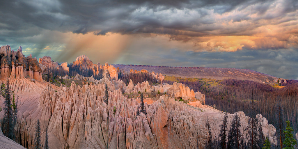 Wason Park Cut-OffHiking · ~21 min drivePhoto: snowpeak, CC BY 2.0 (via Flickr)Dry Gulch TrailHiking · ~11 min drivePhoto: aspidoscelis, Public Domain Dedication (CC0) (via Flickr)
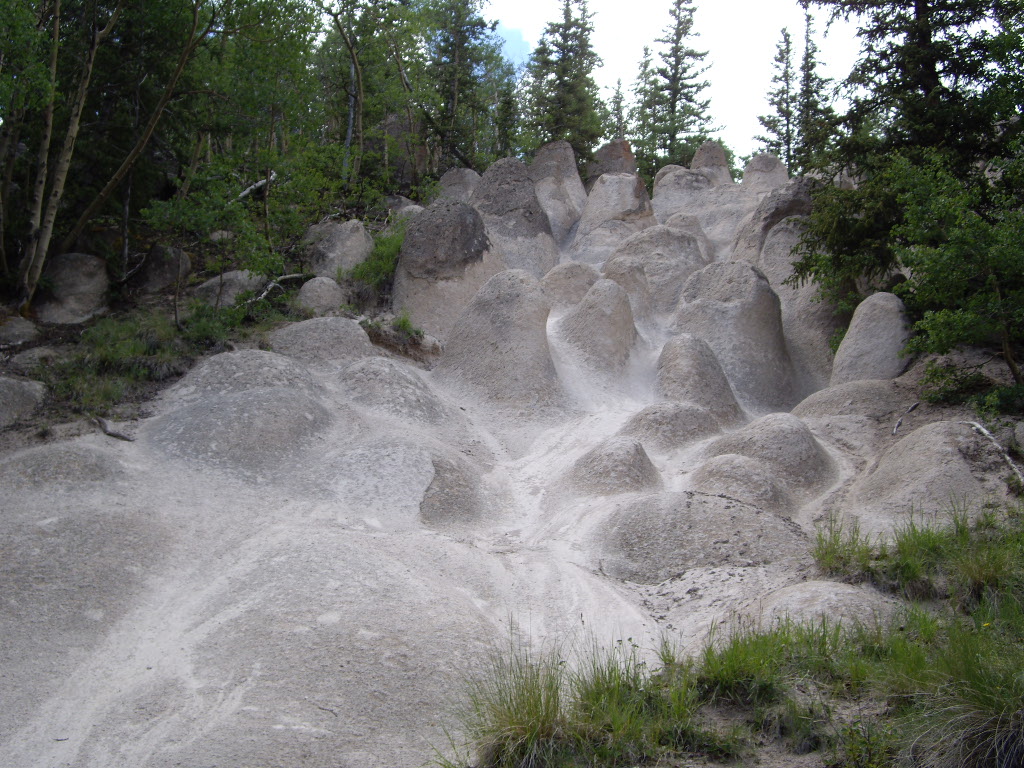 Wheeler LoopHiking · ~22 min drivePhoto: C. K. Hartman, CC BY 2.0 (via Flickr)
Also worth it near here
Mountain Views at Rivers Edge RV ParkCamping · ~10 min drivePhoto: Michael Harbour, CC BY-SA 3.0 (via Wikimedia Commons) North Clear Creek FallsWaterfall · ~13 min drivePhoto: Jeffrey Beall, CC BY 4.0 (via Wikimedia Commons)
Best months: June and September. Best months have typical highs of 55–85 °F, lows of 30 °F or warmer (32 °F where the station doesn't record snow), at most one snowy day and no more than 12 wet days.
Jan
35° / 2°
7 wet
Feb
36° / 3°
7 wet
Mar
42° / 12°
7 wet
Apr
48° / 19°
7 wet
May
58° / 27°
8 wet
Jun
68° / 34°
7 wet
Jul
72° / 40°
15 wet
Aug
70° / 39°
15 wet
Sep
64° / 33°
11 wet
Oct
55° / 23°
7 wet
Nov
43° / 13°
5 wet
Dec
34° / 2°
7 wet
Typical high / low (°F) and days with rain or snow, 1991–2020. Measured at Santa Maria Rsvr, CO, 5.4 mi away at 9,687 ft. The station sits about 1,000 ft lower than this place, so expect it a little cooler here. This station doesn't record snowfall. Source: NOAA NCEI U.S. Climate Normals 1991–2020.
