Mountain Views at Rivers Edge RV Park
Campground
Campground · 3.2 mi from the trail
Closure in the area
There's a closure order in Rio Grande National Forest. It doesn't name Mckenzie, so check the source for the area it covers.
Closures and dangerous conditions on roads, bridges, and trails from flooding
Agency closure covering Rio Grande National Forest · USFS · Rio Grande National Forest
As of · Source: USFS · Rio Grande National Forest. Agencies don't list every closure — check before you go.
McKenzie is a hard hike in Colorado's Rio Grande National Forest, within the Divide Ranger District. The trail is an out-and-back that climbs from about 8,877 feet to about 11,639 feet, with a total elevation gain of 2,958 feet over a route of about 14 miles. The Forest Service manages the land, and the trailhead is at McKenzie (#804), which is open year-round. The trail is natural-surfaced and allows both horses and bikes. That makes it a versatile route for riders and pack animals, and the climb is a significant one, so plan for a full day on foot or on horseback. Several other trails sit close by. Shallow Creek is about 1.2 miles away and Miner's Creek Trail about 1.4 miles. For an overnight stay, Mountain Views at Rivers Edge RV Park is about 3.2 miles off, and Rio Grande Campground is about 5.9 miles away.
Mountain Views at Rivers Edge RV Park
Campground
Kip's Grill
Restaurant
Quiller Gallery
Gallery
Places © OpenStreetMap contributors
More in South ForkNot on Roamze yet. Their page has how to reach them.
 Mountain Views at Rivers Edge RV ParkCampingPhoto: Michael Harbour, CC BY-SA 3.0 (via Wikimedia Commons)3.2 mi
Source: Roamze catalog (indexable pages within 10 miles, PostGIS distance)
 Dry Gulch TrailHiking · ~6 min drivePhoto: aspidoscelis, Public Domain Dedication (CC0) (via Flickr)
 So Cl Cr Falls NatureHiking · ~17 min drivePhoto: waterarchives, CC BY-SA 2.0 (via Flickr)
 Trout CreekHiking · ~22 min drivePhoto: fringedbenefit, CC BY 2.0 (via Flickr)Farmers CreekHiking · ~8 min drivePhoto: aspidoscelis, Public Domain Dedication (CC0) (via Flickr)
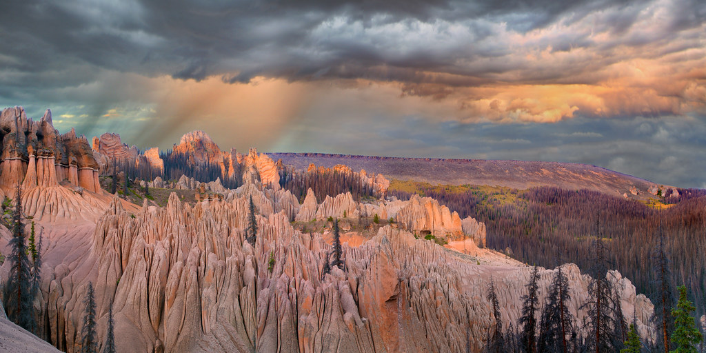 Wason Park Cut-OffHiking · ~17 min drivePhoto: snowpeak, CC BY 2.0 (via Flickr)
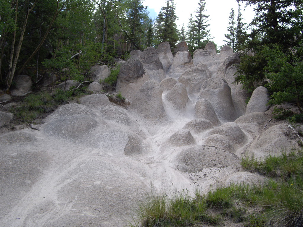 Wheeler LoopHiking · ~18 min drivePhoto: C. K. Hartman, CC BY 2.0 (via Flickr)

