Iron City Cabin
Campground
Campground · 0.5 mi from the trail
Caution today
Agency alerts are in effect for this area; weather is good · USFS, OpenWeather · checked just now
Alert in the area
The Forest Service lists 7 alerts for Pike and San Isabel National Forests.
FSR 286, Radical Hill, is closed due to washouts and unsafe conditions
Agency alert covering Pike and San Isabel National Forests · USFS · Pike and San Isabel National Forests
Interlaken Hotel Tree Hazards
Agency alert covering Pike and San Isabel National Forests · USFS · Pike and San Isabel National Forests
Sharpe Fire Update
Agency alert covering Pike and San Isabel National Forests · USFS · Pike and San Isabel National Forests
Turquoise Lake Road (County Road 4) Closure
Agency alert covering Pike and San Isabel National Forests · USFS · Pike and San Isabel National Forests
Food Storage Prohibitions on Pike-San Isabel National Forests
Agency alert covering Pike and San Isabel National Forests · Order 02-12-00-23-07 · USFS · Pike and San Isabel National Forests
As of · Source: USFS · Pike and San Isabel National Forests. Agencies don't list every closure — check before you go.
Poplar Gulch Trail is a 11.6-mile out-and-back hike in Colorado's Pike and San Isabel National Forests, within the Salida Ranger District and the Kreutzer-Princeton Roadless Area. The Forest Service manages the land, and the route starts at 10,058 feet, rising to a high point of 12,302 feet. The total elevation gain is 4,552 feet, and the trail is rated expert. The climb is rolling, with the steepest stretch at about 0.67 miles in, where the grade reaches 51%. The round trip covers about 11.6 miles, and the estimated time is about six hours. The trail sits close to two other peaks, Mount Aetna and Monumental Peak, both about 0.2 miles away. Iron City Campground is 0.7 miles off, and Chalk Creek Canyon, a climbing area, is about 2.2 miles away.
Iron City Cabin
Campground
American House Hotel Parlor
Museum
Places © OpenStreetMap contributors, Places © Overture Maps Foundation
More in Pitkin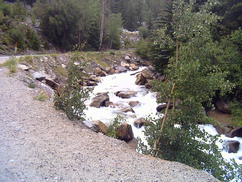 Chalk CreekCanoeingPhoto: LanceBarber, CC BY-SA 3.0 (via Wikimedia Commons)5.9 mi
Source: Roamze catalog (indexable pages within 10 miles, PostGIS distance)
 Iron Chest Mine TrailHiking · Next doorPhoto: jaygannett, CC BY-SA 2.0 (via Flickr)
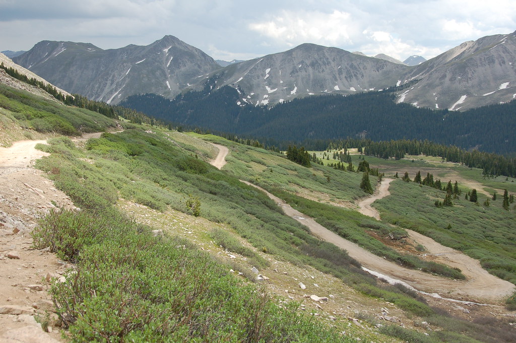 Old Tincup Pass TrailHiking · ~9 min drivePhoto: Herkie, CC BY-SA 2.0 (via Flickr)
 Lost LakeHiking · ~13 min drivePhoto: roy.luck, CC BY 2.0 (via Flickr)
 Mount PrincetonHiking · ~15 min drivePhoto: wohnai, CC BY 2.0 (via Flickr)
 Mt. PrincetonHiking · ~12 min drivePhoto: kalestews, CC BY 2.0 (via Flickr)
 Hartenstein LakeHiking · ~15 min drivePhoto: Brokentaco, CC BY 2.0 (via Flickr)
 South Quartz Trail 483Hiking · ~15 min drivePhoto: John Sowell, CC BY-SA 4.0 (via Wikimedia Commons)Horseshoe Trail 482Hiking · ~15 min drivePhoto: John Sowell, CC BY-SA 4.0 (via Wikimedia Commons)Canyon Creek Trail 481Hiking · ~13 min drivePhoto: John Sowell, CC BY-SA 4.0 (via Wikimedia Commons)
 Cascade Creek TrailHiking · ~11 min drivePhoto: oxtopus, CC BY 2.0 (via Flickr)
Also worth it near here
 Emma Burr MountainSummit · ~7 min drivePhoto: Jeremy White, CC BY 2.0 (via Wikimedia Commons)Chalk CreekCanoeing · ~10 min drivePhoto: LanceBarber, CC BY-SA 3.0 (via Wikimedia Commons)Chalk Creek Boulder aka Boulder of SorrowRock climbing · ~10 min drivePhoto: oxtopus, CC BY 2.0 (via Flickr)
Map and trail data © OpenStreetMap contributors
