Stone Cellar Campground
Campground
Campground · 7.2 mi from the trail
Closure in the area
There's a closure order in Rio Grande National Forest. It doesn't name Perry Creek Trail, so check the source for the area it covers.
Closures and dangerous conditions on roads, bridges, and trails from flooding
Agency closure covering Rio Grande National Forest · USFS · Rio Grande National Forest
As of · Source: USFS · Rio Grande National Forest. Agencies don't list every closure — check before you go.
Perry Creek Trail is a 5.4-mile out-and-back hike in the Divide Ranger District of Colorado's Rio Grande National Forest. It starts at Perry Creek Trailhead and reaches a high point of 12,196 feet, with the trail running from that top down to a low of 11,136 feet and back again. The trail is rated hard, and the climb totals 1,254 feet one way. The route is rolling, but it gets steep around mile 1.6, where a 14% grade makes the most challenging stretch. The Forest Service manages the land, and the trip is estimated to take about 2.5 hours. The trail works well as a longer outing with other hikes close by. Miner's Creek Trail and Upper Deep Creek are both about 1.7 miles away, and Bower's Peak Trail is about 2.3 miles off. For an overnight stay, Stone Cellar Campground lies about 7.2 miles away.
Stone Cellar Campground
Campground
Creede Underground Mining Museum
Museum
Places © OpenStreetMap contributors, Places © Overture Maps Foundation
More in South ForkNot on Roamze yet. Their page has how to reach them.
Source: Roamze catalog (indexable pages within 10 miles, PostGIS distance)
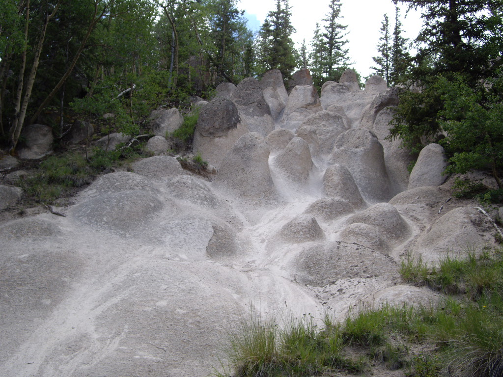 Wheeler LoopHiking · ~19 min drivePhoto: C. K. Hartman, CC BY 2.0 (via Flickr)
Map and trail data © OpenStreetMap contributors


