Cathedral Campground
Campground
Campground · 3.2 mi from the trail
Closure in the area
There's a closure order in Rio Grande National Forest. It doesn't name Groundhog Trail, so check the source for the area it covers.
Closures and dangerous conditions on roads, bridges, and trails from flooding
Agency closure covering Rio Grande National Forest · USFS · Rio Grande National Forest
As of · Source: USFS · Rio Grande National Forest. Agencies don't list every closure — check before you go.
Groundhog Trail is an easy out-and-back hike in Colorado's Rio Grande National Forest, within the Divide Ranger District. The trail is about 4.6 miles long, with a total elevation gain of 782 feet, and it starts and ends at roughly 11,137 feet. The high point on the route reaches about 11,917 feet, and the climb is front-loaded, with the steepest stretch at about 1.7 miles in, where the grade reaches about 11 percent. The Forest Service manages the land, and the trail is an easy option for a day on foot in this part of the forest. The trip takes about two hours, so plan on a full morning or afternoon. Perry Creek and the Benino Trail are both within about 2.6 miles, and Cathedral Campground sits about 3.2 miles away. For paddling, Embargo Creek is about 6 miles off.
Cathedral Campground
Campground
Quiller Gallery
Gallery
Places © OpenStreetMap contributors, Places © Overture Maps Foundation
More in South ForkNot on Roamze yet. Their page has how to reach them.
Source: Roamze catalog (indexable pages within 10 miles, PostGIS distance)
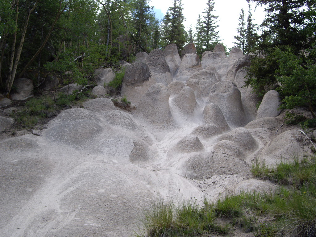 Wheeler LoopHiking · ~18 min drivePhoto: C. K. Hartman, CC BY 2.0 (via Flickr)
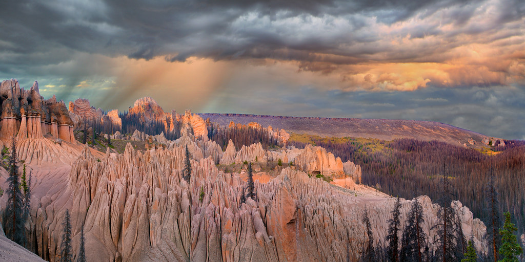 Wason Park Cut-OffHiking · ~18 min drivePhoto: snowpeak, CC BY 2.0 (via Flickr)
Map and trail data © OpenStreetMap contributors

