Thompson Creek Campground
Campground
Campground · 4.4 mi from the trail
Caution at last check
Agency alerts are in effect for this area; weather is marginal · USFS, OpenWeather · checked 16 h ago
Alert in the area
The Forest Service lists 6 alerts for White River National Forest.
FSR 286, Radical Hill, is closed due to washouts and unsafe conditions
Agency alert covering White River National Forest · USFS · White River National Forest
Limited parking at Snowmass Creek Trailhead
Agency alert covering White River National Forest · USFS · White River National Forest
Grizzly Creek Trail Closure
Agency alert covering White River National Forest · Order 2026-02 · USFS · White River National Forest
Ruedi Marina Day Use area Dump Station is CLOSED
Agency alert covering White River National Forest · USFS · White River National Forest
Asbestos safety closure - Camp Hale
Agency alert covering White River National Forest · USFS · White River National Forest
As of · Source: USFS · White River National Forest. Agencies don't list every closure — check before you go.
Parsnip Flat Road is a short, easy out-and-back hike in Colorado's White River National Forest, on the Sopris Ranger District. The route covers about 3.6 miles round trip, with a low point at 8,098 feet and a high of 8,297 feet. The Forest Service manages the land, and the hike starts from the road itself rather than a trailhead. Summer is the most comfortable time to go. Typical averages from a nearby weather station at a similar elevation show July highs around 76°F with lows near 48°F, while September cools to highs in the upper 60s. Winters are cold, with January highs near freezing. Lake Ridge Lakes lies about 2 miles away, and Perham Creek is a little over 2 miles off. The Narrows climbing area is about 3 miles away, and Thompson Creek Campground offers camping roughly 4.4 miles from the route.
Thompson Creek Campground
Campground
Hattie Thompson Restaurant and Bar
Restaurant
Thermal springs in Colorado
Places © OpenStreetMap contributors, Places © Overture Maps Foundation
More in Glenwood SpringsNot on Roamze yet. Their page has how to reach them.
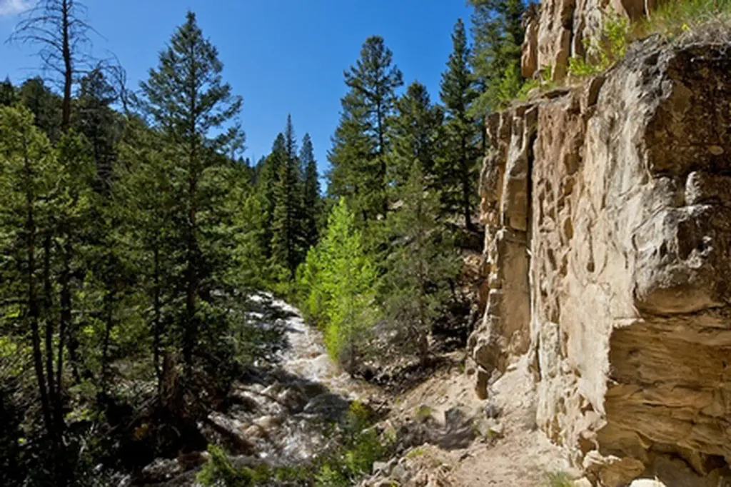 Thompson Creek CampgroundCampingPhoto: Recreation.gov (RIDB) / public domain4.4 mi
Source: Roamze catalog (indexable pages within 10 miles, PostGIS distance)
 HUNTSMAN RIDGEHiking · ~15 min drivePhoto: denverkid, CC BY 2.0 (via Flickr)
 Mcclure Pass X-C SkiHiking · ~15 min drivePhoto: denverkid, CC BY 2.0 (via Flickr)
 Capitol Ditch TrailHiking · ~18 min drivePhoto: lamblukas, CC BY 2.0 (via Flickr)
 Lower Dipsy DoodleHiking · ~17 min drivePhoto: aperturismo, CC BY-SA 2.0 (via Flickr)
 Rio Grande Soft Surface TrailHiking · ~18 min drivePhoto: Thad Roan from Littleton, CO, USA, CC BY-SA 2.0 (via Wikimedia Commons)
Best months: May–September. Best months have typical highs of 55–85 °F, lows of 30 °F or warmer (32 °F where the station doesn't record snow), at most one snowy day and no more than 12 wet days.
Jan
32° / 10°
13 wet
Feb
35° / 13°
12 wet
Mar
43° / 20°
12 wet
Apr
50° / 27°
12 wet
May
60° / 35°
11 wet
Jun
71° / 42°
8 wet
Jul
76° / 48°
11 wet
Aug
73° / 47°
12 wet
Sep
67° / 40°
10 wet
Oct
55° / 30°
9 wet
Nov
42° / 19°
10 wet
Dec
32° / 10°
12 wet
Typical high / low (°F) and days with rain or snow, 1991–2020. Measured at Aspen 1sw, CO, 24.3 mi away at 8,175 ft. This station doesn't record snowfall. Source: NOAA NCEI U.S. Climate Normals 1991–2020.
Map and trail data © OpenStreetMap contributors
