Aspen-Sopris Ranger District
Campground
Campground · 0.3 mi from the trail
 Photo: Thad Roan from Littleton, CO, USA, CC BY-SA 2.0 (via Wikimedia Commons)
The Rio Grande Soft Surface Trail is a short, easy out-and-back hike in Colorado, about 0.3 miles from the town of Carbondale. The route is just under a mile long, with a total elevation gain of about 42 feet, so it's a gentle walk that can be done in half an hour. The trail starts at about 6,173 feet and reaches a high point of about 6,173 feet, with the low point at about 6,136 feet. The climb is flat, and the steepest stretch comes at about 0.19 miles in, with a grade of about 2 percent. For comfortable weather, aim for late spring or early fall. Typical averages from a nearby weather station show May highs around 71°F and September highs around 78°F, while July averages about 89°F and winter brings frequent snow days. Nearby, the Aspen-Sopris Ranger District is about 0.3 miles away, and Town of Carbondale Campground is about 0.9 miles away. Mountain bikers can head to Lower Three Gulch, about a mile off, and Thompson Creek offers canoeing roughly 6 miles away.
Aspen-Sopris Ranger District
Campground
Thermal springs in Colorado
Places © OpenStreetMap contributors, Places © Overture Maps Foundation
More in Glenwood SpringsNot on Roamze yet. Their page has how to reach them.
 Carbondale / Crystal River KOACampingPhoto: EcoFlight, CC BY 3.0 (via Wikimedia Commons)5.8 mi
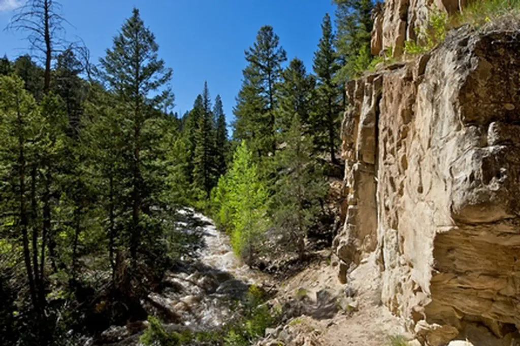 Thompson Creek CampgroundCampingPhoto: Recreation.gov (RIDB) / public domain6.6 mi
Source: Roamze catalog (indexable pages within 10 miles, PostGIS distance)
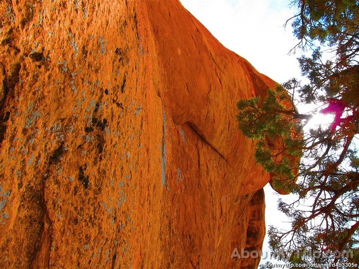 Three Gulch TrailHiking · ~2 min drivePhoto: aboutmytripdotcom, CC BY 2.0 (via Flickr)
 Big Top TrailHiking · ~5 min drivePhoto: aboutmytripdotcom, CC BY 2.0 (via Flickr)Skeeter's Ridge TrailHiking · ~2 min drivePhoto: Thad Roan from Littleton, CO, USA, CC BY-SA 2.0 (via Wikimedia Commons)
 Olsen Connector TrailHiking · ~21 min drivePhoto: Tony Webster, CC BY 2.0 (via Flickr)Outer LoopHiking · ~4 min drivePhoto: aboutmytripdotcom, CC BY 2.0 (via Flickr)
Best months: April–June and September–October. Best months have typical highs of 55–85 °F, lows of 30 °F or warmer (32 °F where the station doesn't record snow), at most one snowy day and no more than 12 wet days.
Jan
36° / 12°
8 wet · 6 snow
Feb
42° / 19°
6 wet · 4 snow
Mar
53° / 26°
6 wet · 2 snow
Apr
60° / 32°
7 wet · 1 snow
May
71° / 40°
7 wet
Jun
82° / 46°
5 wet
Jul
89° / 53°
5 wet
Aug
86° / 52°
6 wet
Sep
78° / 44°
6 wet
Oct
65° / 33°
6 wet
Nov
49° / 24°
6 wet · 2 snow
Dec
36° / 15°
7 wet · 4 snow
Typical high / low (°F) and days with rain or snow, 1991–2020. Measured at Glenwood Spgs #2, CO, 9.5 mi away at 5,895 ft. Source: NOAA NCEI U.S. Climate Normals 1991–2020.
Map and trail data © OpenStreetMap contributors
