Chalk Creek Canyon
Campground
Campground · 0.5 mi from the trail
Alert in the area
The Forest Service lists 7 alerts for Pike and San Isabel National Forests.
FSR 286, Radical Hill, is closed due to washouts and unsafe conditions
Agency alert covering Pike and San Isabel National Forests · USFS · Pike and San Isabel National Forests
Interlaken Hotel Tree Hazards
Agency alert covering Pike and San Isabel National Forests · USFS · Pike and San Isabel National Forests
Sharpe Fire Update
Agency alert covering Pike and San Isabel National Forests · USFS · Pike and San Isabel National Forests
Turquoise Lake Road (County Road 4) Closure
Agency alert covering Pike and San Isabel National Forests · USFS · Pike and San Isabel National Forests
Food Storage Prohibitions on Pike-San Isabel National Forests
Agency alert covering Pike and San Isabel National Forests · Order 02-12-00-23-07 · USFS · Pike and San Isabel National Forests
As of · Source: USFS · Pike and San Isabel National Forests. Agencies don't list every closure — check before you go.
Narrow Gauge is a 4.4-mile out-and-back hike in the Salida Ranger District of the Pike and San Isabel National Forests in Colorado, about 6 miles from the town of Centerville. The Forest Service manages the land, and the trail is rated moderate with a one-way climb of about 417 feet, from a low point of 8,582 feet to a high of 9,011 feet. The trail has a natural surface, and bikes are allowed. For timing, late spring and early fall are the most comfortable. Typical averages from a nearby weather station in Buena Vista show May highs around 67°F and September highs around 74°F, while July and August bring the most wet days, about 12 each month. Bootleg Campground sits about half a mile away, and Mt. Princeton Campground is about 1.2 miles off. Cascade Creek Trail is about 1.6 miles away, and Chalk Lake Fishing Site is about 1.8 miles away.
Chalk Creek Canyon
Campground
Mountain Spirit Winery Ltd.
Brewery
Evans Firewall & Savard Building
Museum
Places © OpenStreetMap contributors
More in Pitkin Cascade Creek TrailHikingPhoto: oxtopus, CC BY 2.0 (via Flickr)1.6 miChalk Creek Boulder aka Boulder of SorrowRock climbingPhoto: oxtopus, CC BY 2.0 (via Flickr)1.8 mi
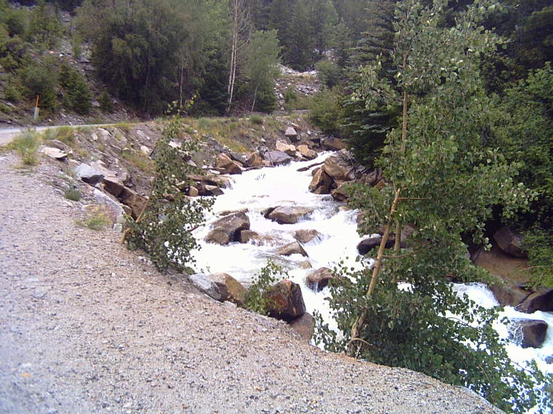 Chalk CreekCanoeingPhoto: LanceBarber, CC BY-SA 3.0 (via Wikimedia Commons)1.9 mi
Source: Roamze catalog (indexable pages within 10 miles, PostGIS distance)
Cascade Creek TrailHiking · ~3 min drivePhoto: oxtopus, CC BY 2.0 (via Flickr) Tigger PeakHiking · ~4 min drivePhoto: kalestews, CC BY 2.0 (via Flickr)
 Tabeguache PeakHiking · ~14 min drivePhoto: kalestews, CC BY 2.0 (via Flickr)
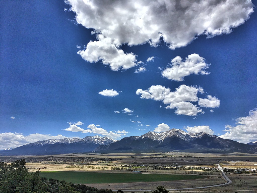 Crank n' Hammer TrailHiking · ~17 min drivePhoto: cogdogblog, Public Domain Dedication (CC0) (via Flickr)
 Yansing (Chinaman) Gulch Trail 6043Hiking · ~15 min drivePhoto: Nholifield, CC BY 3.0 (via Wikimedia Commons)
 Iron Chest Mine TrailHiking · ~13 min drivePhoto: jaygannett, CC BY-SA 2.0 (via Flickr)Mount ShavanoHiking · ~14 min drivePhoto: kalestews, CC BY 2.0 (via Flickr)
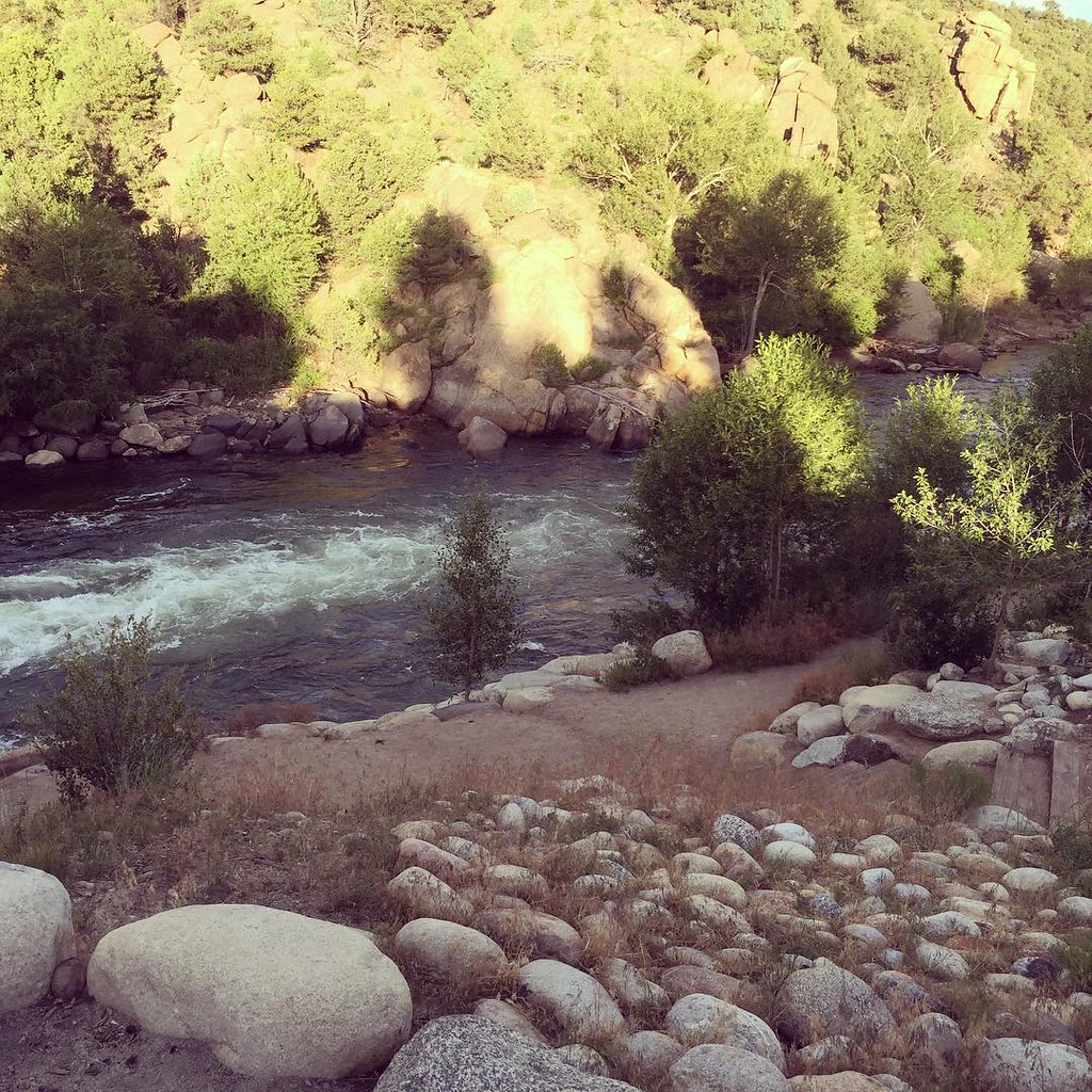 North TrailHiking · ~18 min drivePhoto: JenTravelsLife, CC BY 2.0 (via Flickr)
 Yansing (Chinaman) Gulch Loop Trail 6044Hiking · ~16 min drivePhoto: markbyzewski, CC BY 2.0 (via Flickr)Taylor MountainHiking · ~17 min drivePhoto: kalestews, CC BY 2.0 (via Flickr)
Also worth it near here
Chalk Creek Boulder aka Boulder of SorrowRock climbing · ~3 min drivePhoto: oxtopus, CC BY 2.0 (via Flickr) Agnes Vaille FallsWaterfall · ~3 min drivePhoto: Fredlyfish4, CC BY-SA 3.0 (via Wikimedia Commons)Chalk CreekCanoeing · ~3 min drivePhoto: LanceBarber, CC BY-SA 3.0 (via Wikimedia Commons)
Best months: May–September. Best months have typical highs of 55–85 °F, lows of 30 °F or warmer (32 °F where the station doesn't record snow), at most one snowy day and no more than 12 wet days.
Jan
41° / 11°
4 wet
Feb
43° / 14°
5 wet
Mar
50° / 21°
6 wet
Apr
56° / 27°
6 wet
May
67° / 36°
7 wet
Jun
78° / 43°
7 wet
Jul
83° / 49°
12 wet
Aug
80° / 47°
12 wet
Sep
74° / 40°
8 wet
Oct
62° / 29°
6 wet
Nov
50° / 20°
5 wet
Dec
40° / 11°
5 wet
Typical high / low (°F) and days with rain or snow, 1991–2020. Measured at Buena Vista 2s, CO, 8.8 mi away at 7,954 ft. The station sits about 1,100 ft lower than this place, so expect it a little cooler here. This station doesn't record snowfall. Source: NOAA NCEI U.S. Climate Normals 1991–2020.
