Stollsteimer Creek
 Photo: Dicklyon, CC BY-SA 4.0 (via Wikimedia Commons)
- 24.4 mi
- distance
- 7,889 ft
- high point
- May–Oct
- best months
Blocked today
A road serving this area is closed; agency alerts are in effect for this area; weather is good · USFS, State DOT 511, OpenWeather · checked 6 h ago
Is Stollsteimer Creek open right now?
Road closed
US 160: road closure is listed as closed by CDOT 511.
US 160: road closure
Closed · ~1.3 km from Stollsteimer Creek · CDOT 511
Travel is not advised to the San Juan NF
Agency closure covering San Juan National Forest · USFS · San Juan National Forest
Closures and dangerous conditions on roads, bridges, and trails from flooding
Agency closure covering San Juan National Forest · USFS · San Juan National Forest
Multiple roads and trails damaged by flooding on SJNF
Agency closure covering San Juan National Forest · USFS · San Juan National Forest
Bear Activity High Across San Juan National Forest
Agency alert covering San Juan National Forest · USFS · San Juan National Forest
As of · Source: CDOT 511. Agencies don't list every closure — check before you go.
Stollsteimer Creek is a paddling stretch of about 24 miles near Pagosa Springs, Colorado, flowing through land in the Pagosa Ranger District of the San Juan National Forest, managed by the Forest Service. This is an intermittent creek that may run dry in some seasons, so water is far from guaranteed. Its modeled average flow is about 45 cfs, and it drops at a gradient of roughly 65 feet per mile, a steep fall for a creek of this size. Summer is the most comfortable time to be out. A nearby weather station at Vallecito Reservoir records typical July averages of about 80°F for highs and 53°F for lows. Ute Campground sits about 2 miles away, and Lower Piedra Campground is within 7 miles. Chimney Rock Nature Trail is close by for a hike, and Devil Creek, about 5 miles away, offers another paddling option.
Local outfitters
- Wilderness Journeys Pagosa10 mi away
- Blue Creek Lodge46 mi away
Not on Roamze yet. Their page has how to reach them.
- Ute CampgroundCamping2.3 mi
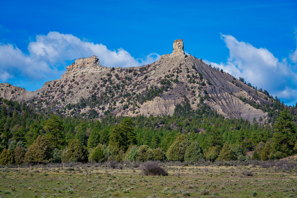 Chimney Rock Nature TrailHikingPhoto: Mobilus In Mobili, CC BY-SA 2.0 (via Flickr)3.8 mi
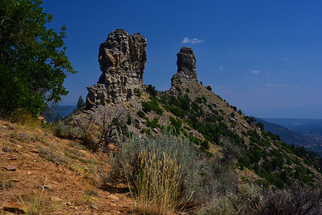 Great HouseHikingPhoto: stevehfung, CC BY-SA 2.0 (via Flickr)4 mi
- Snow Ranch C TrailHiking4.1 mi
- Snow Springs TrailHiking4.3 mi
- Devil CreekCanoeing5.1 mi
- Happy Camper RV ParkCamping5.8 mi
- Lower Piedra CampgroundCamping6.6 mi
Source: Roamze catalog (indexable pages within 10 miles, PostGIS distance)
 Piedra RiverCanoeing · ~23 min drivePhoto: Dicklyon, CC BY-SA 4.0 (via Wikimedia Commons)
- Navajo State Park Boat RampBoat launch · ~28 min drive
- Junction Creek CampgroundFloat trip · ~1h 6m drive
 San Juan RiverCanoeing · ~31 min drivePhoto: Kkaufman11 at English Wikipedia, Public domain (via Wikimedia Commons)
- Teal Boat RampBoat launch · ~38 min drive
 Rio BlancoCanoeing · ~37 min drivePhoto: Dicklyon, CC BY-SA 4.0 (via Wikimedia Commons)
- Big Meadows Reservoir Boating SiteBoat launch · ~58 min drive
 West Fork San Juan RiverCanoeing · ~45 min drivePhoto: Jeffrey Beall, CC BY 4.0 (via Wikimedia Commons)
- Shaw Lake Boating SiteBoat launch · ~60 min drive
 East Fork San Juan RiverCanoeing · ~47 min drivePhoto: Dicklyon, CC BY-SA 4.0 (via Wikimedia Commons)
Best time to visit Stollsteimer Creek
Best months: May–October. Best months have typical highs of 55–85 °F, lows of 30 °F or warmer (32 °F where the station doesn't record snow), at most one snowy day and no more than 12 wet days.
Jan
37° / 9°
Feb
42° / 12°
Mar
48° / 21°
Apr
55° / 29°
May
64° / 37°
Jun
76° / 44°
Jul
80° / 53°
Aug
78° / 51°
Sep
72° / 45°
Oct
60° / 38°
Nov
47° / 25°
Dec
38° / 17°
Typical high / low (°F) and days with rain or snow, 1991–2020. Measured at Vallecito Reservoir, CO, 22.9 mi away at 7,673 ft. This station doesn't record snowfall. Source: NOAA NCEI U.S. Climate Normals 1991–2020.

