Mount Owen
- 25.9 mi
- round trip
- 9,227 ft
- climb
- 13,268 ft
- high point
- Out and back
- route
Is Mount Owen open right now?
Closure in the area
There's a closure order in San Carlos Ranger District. It doesn't name Mount Owen, so check the source for the area it covers.
East Bear Gulch NFST 1333 seasonal closure
Agency closure covering San Carlos Ranger District · Order 02-12-03-26-14 · USFS · San Carlos Ranger District
Reduced Aspen Acres Fire closure order
Agency alert covering San Carlos Ranger District · Order 02-12-03-26-43 · USFS · San Carlos Ranger District
FSR 286, Radical Hill, is closed due to washouts and unsafe conditions
Agency alert covering Pike and San Isabel National Forests · USFS · Pike and San Isabel National Forests
Interlaken Hotel Tree Hazards
Agency alert covering Pike and San Isabel National Forests · USFS · Pike and San Isabel National Forests
Sharpe Fire Update
Agency alert covering Pike and San Isabel National Forests · USFS · Pike and San Isabel National Forests
As of · Source: USFS · San Carlos Ranger District. Agencies don't list every closure — check before you go.
Mount Owen is a 13,268-foot peak in the San Carlos Ranger District of the Pike and San Isabel National Forests in Colorado, managed by the Forest Service. The route begins at Hermit Lake Trailhead and is a 25.9-mile round trip with about 9,227 feet of climbing. The mapped trail ends roughly 0.9 miles and 2,118 feet short of the summit, and the final stretch is off-trail with no mapped path, so route-finding is required. The hike is rated expert. The climb is steep and long, with the mapped trail ending well before the top. Plan for a full day or more, and expect to navigate the last part on your own. Hermit Lake and Rito Alto Peak both sit about 0.1 mile away. Alvarado Campground is about 3.9 miles off, and the Sangre de Cristo Range climbing area is about 3.2 miles away.
Local outfitters
- San Luis Valley Campground19 mi away
- Journey Quest22 mi away
Not on Roamze yet. Their page has how to reach them.
Conditions and forecast on Mount Owen
Daily highs and lows, wind and the chance of precipitation at the summit and route start for the next 7 days, from the Open-Meteo model.
- Rito Alto PeakHiking0.1 mi
- Hermit LakeHiking0.1 mi
- GoodwinMountain biking1.5 mi
- Sangre de Cristo RangeRock climbing3.2 mi
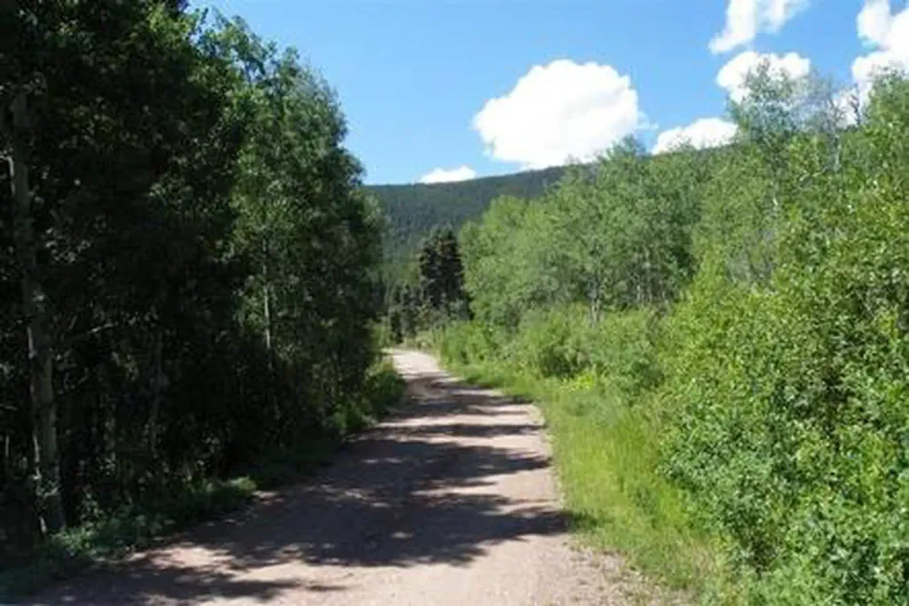 Alvarado CampgroundCampingPhoto: Recreation.gov (RIDB) / public domain3.9 mi
- North Crestone Creek CampgroundCamping6.2 mi
- Taylor CreekCanoeing7.7 mi
 CrestoneRock climbingPhoto: ikewinski, CC BY 2.0 (via Flickr)7.9 mi
Source: Roamze catalog (indexable pages within 10 miles, PostGIS distance)
- Horn PeakHiking · ~9 min drive
- San Isabel LakeHiking · ~3 min drive
- Venable LakeHiking · ~4 min drive
- VenableHiking · ~5 min drive
- GoodwinHiking · ~5 min drive
- Rainbow Trail (FS 1336)Hiking · ~4 min drive
- Phantom TerraceHiking · ~6 min drive
- ComancheHiking · ~6 min drive
- Lake of the CloudsHiking · ~5 min drive
- Dry Creek AccessHiking · ~10 min drive

Route details
- Distance
- 25.9 mi round trip
- Climbing
- About 9,227 ft
- Starts at
- Hermit Lake Trailhead
- Summit
- 13,355 ft
- Difficulty
- Expert
Questions about this route
How long is the Mount Owen on Mount Owen?
About 25.9 mi round trip from Hermit Lake Trailhead.
How much elevation gain is on the Mount Owen?
About 9,227 ft of climbing round trip.
How hard is the Mount Owen?
It is rated expert.
Where does the Mount Owen start?
Hermit Lake Trailhead.
© openrouteservice.org by HeiGIT | Map data © OpenStreetMap contributors
