Goodwin
- 6.6 mi
- round trip
- 3,466 ft
- climb
- 11,463 ft
- high point
- Out and back
- route
Caution today
Agency alerts are in effect for this area; weather is good · USFS, OpenWeather · checked 7 h ago
Goodwin is a hard hike in the Sangre de Cristo Wilderness, part of the San Carlos Ranger District of the Pike and San Isabel National Forests in Colorado. The Forest Service manages the land, and the trail is a natural-surface out-and-back that climbs from about 9,500 feet to about 11,460 feet over roughly 6.6 miles. The one-way gain is 3,466 feet. The route is rated hard, and it's a long, steep day. The Venable hike starts just 0.4 miles away, and the Comanche and Comanche Peak hikes are both within about a mile. Alvarado Campground, about 1.3 miles off, is the closest place to camp.
- VenableHiking0.4 mi
- Sangre de Cristo RangeRock climbing0.8 mi
- ComancheHiking0.8 mi
- Comanche PeakHiking1.1 mi
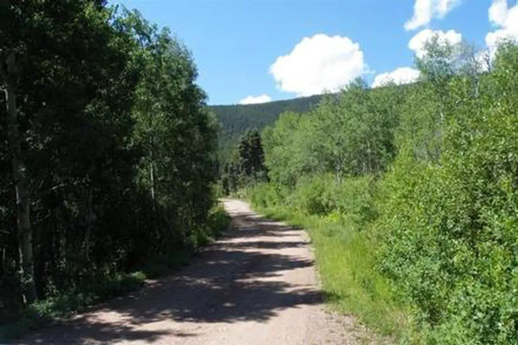 Alvarado CampgroundCampingPhoto: Recreation.gov (RIDB) / public domain1.3 mi
- Taylor CreekCanoeing5.7 mi
- Wet Mountain RV Park & CabinsCamping7.4 mi
- The CrestonesRock climbing8.4 mi
Source: Roamze catalog (indexable pages within 10 miles, PostGIS distance)
- Horn PeakHiking · ~5 min drive
 Challenger PointHiking · ~14 min drivePhoto: Todd Dwyer, CC BY-SA 3.0 (via Wikimedia Commons)
- Rainbow Trail (FS 1336)Hiking · ~4 min drive
- Phantom TerraceHiking · ~6 min drive
- CottonwoodHiking · ~4 min drive
- VenableHiking · Next door
- Hermit LakeHiking · ~5 min drive
- Venable LakeHiking · ~6 min drive
- Rito Alto PeakHiking · ~5 min drive
- Comanche PeakHiking · ~2 min drive


