Phantom Terrace
- 4.9 mi
- round trip
- 690 ft
- climb
- 12,828 ft
- high point
- Out and back
- route
Is Phantom Terrace open right now?
Closure in the area
There's a closure order in Rio Grande National Forest. It doesn't name Phantom Terrace, so check the source for the area it covers.
Closures and dangerous conditions on roads, bridges, and trails from flooding
Agency closure covering Rio Grande National Forest · USFS · Rio Grande National Forest
As of · Source: USFS · Rio Grande National Forest. Agencies don't list every closure — check before you go.
Phantom Terrace is a 4.9-mile out-and-back hike in Colorado's Sangre de Cristo Wilderness, within the Saguache Ranger District of the Rio Grande National Forest. The trail climbs about 690 feet from a low point of 12,414 feet to a high of 12,828 feet, and it is rated moderate. The Forest Service manages the land. The route is open to horses, and bikes are not allowed. That makes it a good fit for riders on horseback or for hikers who want to avoid the trail on a bike. The closest neighbors are the Comanche and Comanche Spur mountain biking trails, both under a mile away. Alvarado Campground sits about 3.7 miles off, and the Sangre de Cristo Range climbing area is about 4.3 miles away.
Local outfitters
- San Luis Valley Campground22 mi away
- Journey Quest25 mi away
Not on Roamze yet. Their page has how to reach them.
- ComancheMountain biking0.8 mi
- Comanche SpurMountain biking0.9 mi
- CottonwoodMountain biking1.5 mi
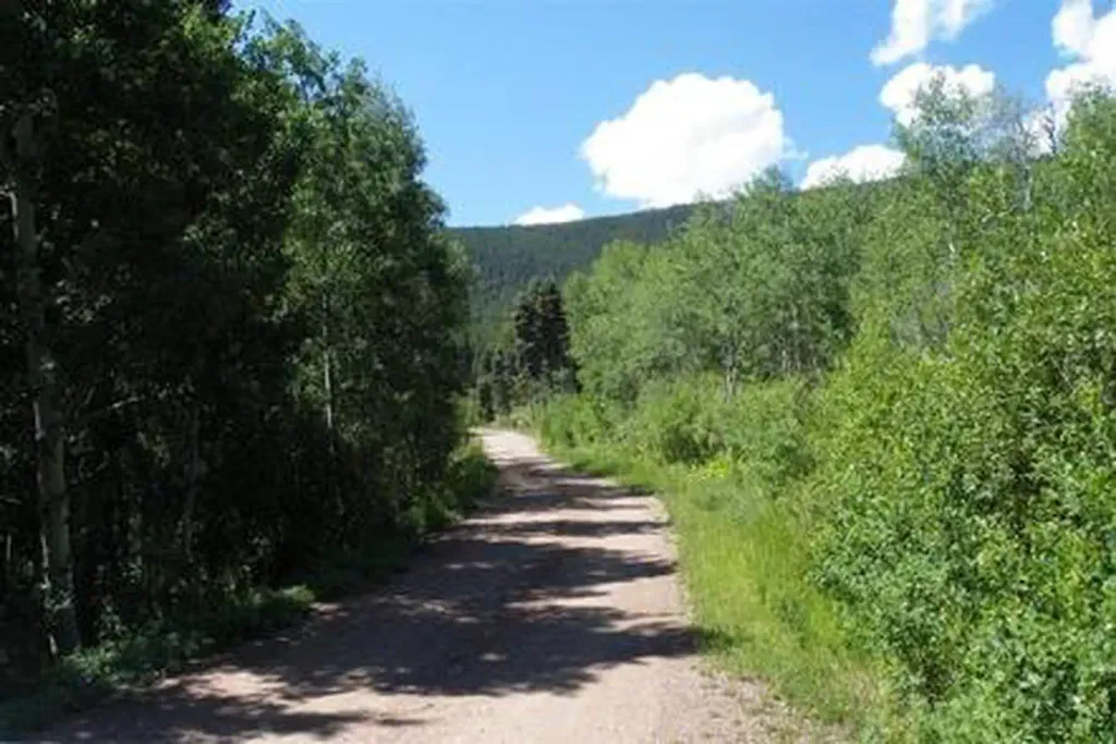 Alvarado CampgroundCampingPhoto: Recreation.gov (RIDB) / public domain3.7 mi
- Sangre de Cristo RangeRock climbing4.3 mi
- North Crestone Creek CampgroundCamping4.4 mi
- The CrestonesRock climbing5.8 mi
- Taylor CreekCanoeing9.1 mi
Source: Roamze catalog (indexable pages within 10 miles, PostGIS distance)
- Horn PeakHiking · ~6 min drive
 Mount AdamsHiking · ~8 min drivePhoto: Todd Dwyer, CC BY-SA 3.0 (via Wikimedia Commons)
- Venable LakeHiking · ~3 min drive
- Hermit LakeHiking · ~6 min drive
- North Fork CrestoneHiking · ~3 min drive
- Challenger PointHiking · ~8 min drivePhoto: Todd Dwyer, CC BY-SA 3.0 (via Wikimedia Commons)
- Burnt Gulch TrailHiking · ~6 min drive
- San Isabel LakeHiking · ~6 min drive
- CottonwoodHiking · ~4 min drive
- Mount OwenHiking · ~6 min drive

