Venable Falls
- 10,552 ft
- elevation
- Forest Service
- managed by
Is Venable Falls open right now?
Closure in the area
There's a closure order in San Carlos Ranger District. It doesn't name Venable Falls, so check the source for the area it covers.
East Bear Gulch NFST 1333 seasonal closure
Agency closure covering San Carlos Ranger District · Order 02-12-03-26-14 · USFS · San Carlos Ranger District
Reduced Aspen Acres Fire closure order
Agency alert covering San Carlos Ranger District · Order 02-12-03-26-43 · USFS · San Carlos Ranger District
FSR 286, Radical Hill, is closed due to washouts and unsafe conditions
Agency alert covering Pike and San Isabel National Forests · USFS · Pike and San Isabel National Forests
Interlaken Hotel Tree Hazards
Agency alert covering Pike and San Isabel National Forests · USFS · Pike and San Isabel National Forests
Sharpe Fire Update
Agency alert covering Pike and San Isabel National Forests · USFS · Pike and San Isabel National Forests
As of · Source: USFS · San Carlos Ranger District. Agencies don't list every closure — check before you go.
Venable Falls is a waterfall in the Sangre de Cristo Wilderness, part of the San Carlos Ranger District of the Pike and San Isabel National Forests in southern Colorado. The Forest Service manages the land, and the nearest town is Crestone, about 8 miles away. The Venable hike starts about a mile from the falls, and Alvarado Campground is under 2 miles away. The Comanche hike and the Goodwin mountain biking area are also close by.
- Elevation
- 10,552 ft
- Land manager
- Forest Service
Elevation from USGS 3D Elevation Program terrain data (about 10 m resolution).
- GoodwinMountain biking0.9 mi
- VenableHiking1.2 mi
- ComancheHiking1.4 mi
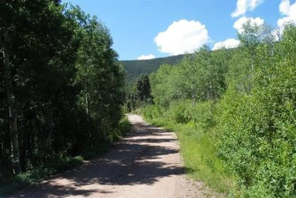 Alvarado CampgroundCampingPhoto: Recreation.gov (RIDB) / public domain1.8 mi
- Sangre de Cristo RangeRock climbing2 mi
- North Crestone Creek CampgroundCamping6.5 mi
- Taylor CreekCanoeing6.8 mi
- The CrestonesRock climbing7.5 mi
Source: Roamze catalog (indexable pages within 10 miles, PostGIS distance)


