Hay Press Camping Area
Campground
Campground · 9.6 mi from the trail
Main Trail is a moderate out-and-back hike in Colorado, about 12 miles from the town of Kannah. The route is roughly 1.1 miles long, with a total elevation gain of about 2,184 feet. The climb is steady, and the steepest stretch comes early, around 0.14 miles from the start, where the grade reaches about 32%. The trail begins at about 6,823 feet and reaches a high point of about 7,286 feet. That makes it a short but fairly steep outing, and the return trip covers the same ground. For comfortable weather, aim for late spring or early fall. Typical averages from a nearby weather station show May highs around 70°F and September highs around 76°F, while July averages climb to about 88°F and winter highs sit in the upper 30s. The trail sits right next to several climbing areas, including Television Wall about 0.1 mile away and Zone 2 and Zone 3 at about 0.2 mile. For more hiking, Rocky Pitch Loop is about 2 miles off.
Hay Press Camping Area
Campground
Daylight Donuts
Fast food
 If it rainsJeffrey Beall, CC BY-SA 3.0 · Wikimedia Commons
Places © OpenStreetMap contributors · Photos: Jeffrey Beall, CC BY-SA 3.0 (commons)
More in CliftonNot on Roamze yet. Their page has how to reach them.
Source: Roamze catalog (indexable pages within 10 miles, PostGIS distance)
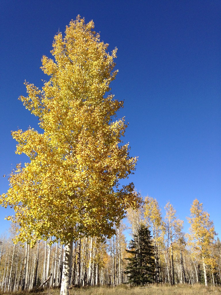 Reservoir #1Hiking · ~14 min drivePhoto: iagoarchangel, CC BY-SA 2.0 (via Flickr)
 Turkey FlatsHiking · ~16 min drivePhoto: iagoarchangel, CC BY-SA 2.0 (via Flickr)Black PineHiking · ~15 min drivePhoto: iagoarchangel, CC BY-SA 2.0 (via Flickr)
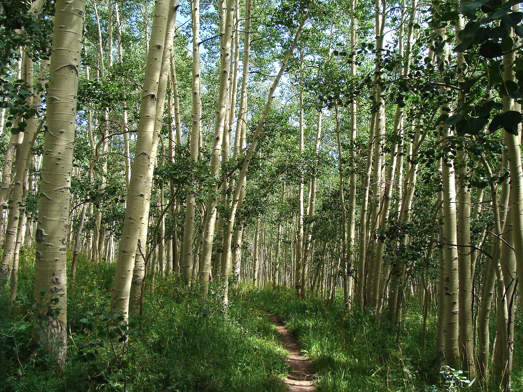 HaypressHiking · ~16 min drivePhoto: iagoarchangel, CC BY-SA 2.0 (via Flickr)
Best months: April–June and August–September. Best months have typical highs of 55–85 °F, lows of 30 °F or warmer (32 °F where the station doesn't record snow), at most one snowy day and no more than 12 wet days.
Jan
39° / 12°
7 wet
Feb
42° / 17°
7 wet
Mar
52° / 25°
8 wet
Apr
59° / 32°
7 wet
May
70° / 39°
6 wet
Jun
82° / 48°
4 wet
Jul
88° / 55°
6 wet
Aug
85° / 52°
7 wet
Sep
76° / 43°
7 wet
Oct
63° / 31°
7 wet
Nov
49° / 22°
6 wet
Dec
38° / 12°
8 wet
Typical high / low (°F) and days with rain or snow, 1991–2020. Measured at Glade Park 17w, CO, 25.8 mi away at 6,323 ft. The station sits about 1,000 ft lower than this place, so expect it a little cooler here. This station doesn't record snowfall. Source: NOAA NCEI U.S. Climate Normals 1991–2020.
Map and trail data © OpenStreetMap contributors

