Hay Press Camping Area
Campground
Campground · 1.3 mi from the trail
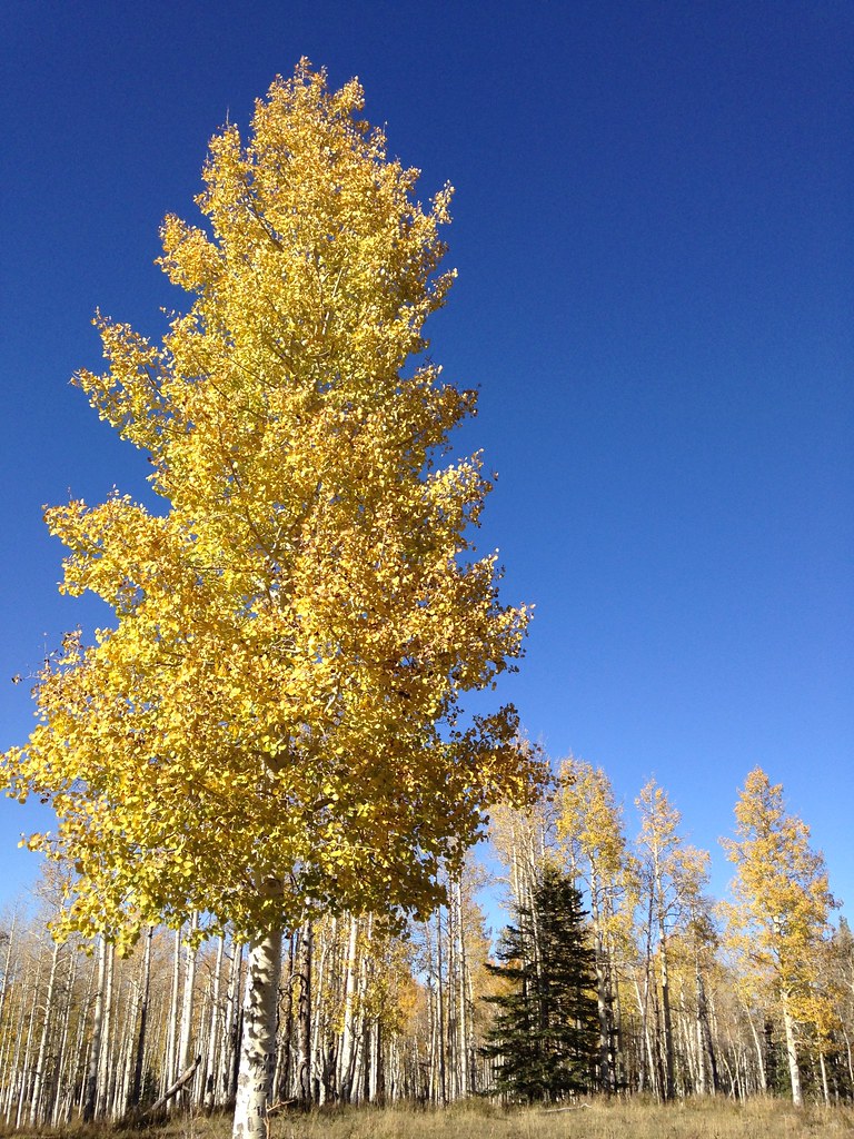 Photo: iagoarchangel, CC BY-SA 2.0 (via Flickr)
Caution at last check
Agency alerts are in effect for this area; weather is good · USFS, OpenWeather · checked 16 h ago
Closure in the area
There's a closure order in Grand Mesa, Uncompahgre and Gunnison National Forests. It doesn't name Reservoir #1, so check the source for the area it covers (2 listed).
Gold Mountain Wildfire Roads and Trails Closure Order v 4.0
Agency closure covering Grand Mesa, Uncompahgre and Gunnison National Forests · USFS · Grand Mesa, Uncompahgre and Gunnison National Forests
Ophir Pass Road Closure
Agency closure covering Grand Mesa, Uncompahgre and Gunnison National Forests · USFS · Grand Mesa, Uncompahgre and Gunnison National Forests
Potter Basin and Beaver Park Roads Emergency Closures
Agency alert covering Grand Mesa, Uncompahgre and Gunnison National Forests · USFS · Grand Mesa, Uncompahgre and Gunnison National Forests
TERMINATION OF ORDER - FIRE RESTRICTIONS
Agency alert covering Grand Mesa, Uncompahgre and Gunnison National Forests · USFS · Grand Mesa, Uncompahgre and Gunnison National Forests
Dallas Area Closure order
Agency alert covering Grand Mesa, Uncompahgre and Gunnison National Forests · USFS · Grand Mesa, Uncompahgre and Gunnison National Forests
As of · Source: USFS · Grand Mesa, Uncompahgre and Gunnison National Forests. Agencies don't list every closure — check before you go.
Reservoir #1 is an easy out-and-back hike in Colorado's Grand Valley Ranger District, part of the Grand Mesa, Uncompahgre and Gunnison National Forests. The trail is about 2.9 miles long, with a one-way elevation gain of 393 feet, taking you from a low point of about 9,157 feet to a high of about 9,562 feet. The route is on natural surface, and it is open to both horses and bikes. The Forest Service manages the land, and the trail is open from June 1 through October 31. Several other trails sit within about a mile, including Haypress, Black Pine and Turkey Flats. Hay Press Camping Area is about 1.3 miles away.
Hay Press Camping Area
Campground
Ocotillo Restaurant and Bar
Restaurant
 If it rainsJeffrey Beall, CC BY-SA 3.0 · Wikimedia Commons
Places © OpenStreetMap contributors · Photos: Jeffrey Beall, CC BY-SA 3.0 (commons)
More in CliftonNot on Roamze yet. Their page has how to reach them.
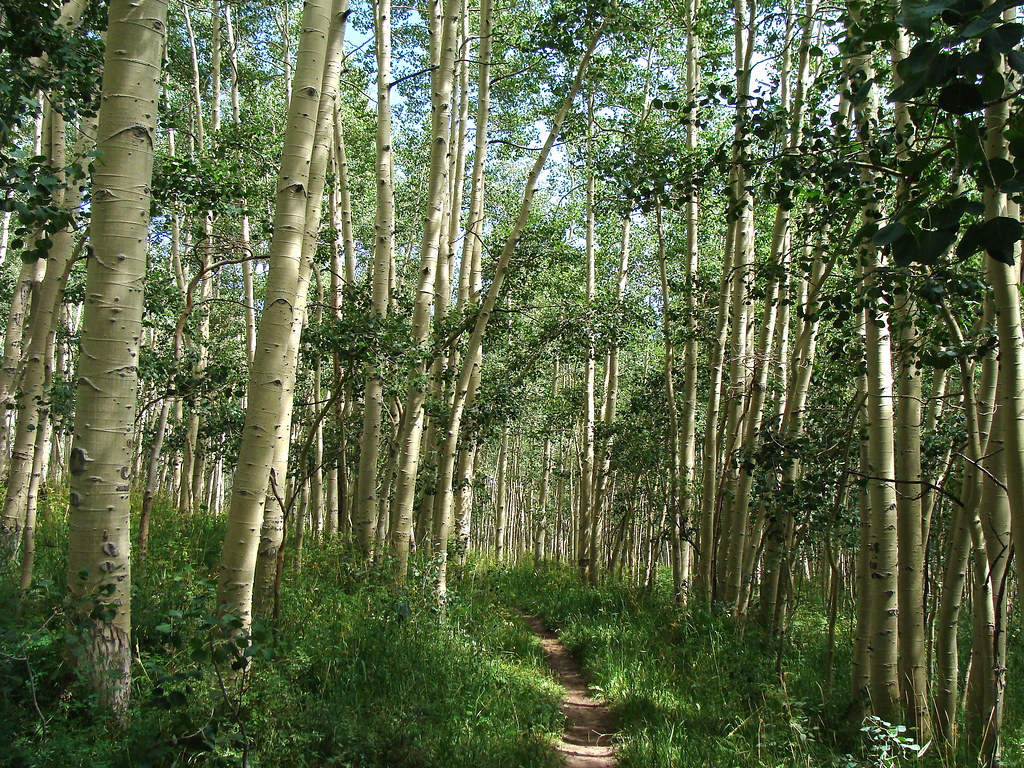 HaypressHikingPhoto: iagoarchangel, CC BY-SA 2.0 (via Flickr)1 miBlack PineHikingPhoto: iagoarchangel, CC BY-SA 2.0 (via Flickr)1 mi
 Turkey FlatsHikingPhoto: iagoarchangel, CC BY-SA 2.0 (via Flickr)1.2 mi
Source: Roamze catalog (indexable pages within 10 miles, PostGIS distance)
HaypressHiking · ~2 min drivePhoto: iagoarchangel, CC BY-SA 2.0 (via Flickr) Upper No Thoroughfare Canyon TrailHiking · ~17 min drivePhoto: iagoarchangel, CC BY-SA 2.0 (via Flickr)
 Tabeguache TrailHiking · ~21 min drivePhoto: iagoarchangel, CC BY-SA 2.0 (via Flickr)
 No Thoroughfare Canyon RouteHiking · ~21 min drivePhoto: iagoarchangel, CC BY-SA 2.0 (via Flickr)Black PineHiking · ~2 min drivePhoto: iagoarchangel, CC BY-SA 2.0 (via Flickr)Kiln TrailHiking · ~21 min drivePhoto: iagoarchangel, CC BY-SA 2.0 (via Flickr)
 The Ribbon TrailHiking · ~20 min drivePhoto: iagoarchangel, CC BY-SA 2.0 (via Flickr)

