Divide Forks Campground
Campground
Campground · 8.3 mi from the trail
Closure in the area
There's a closure order in Grand Mesa, Uncompahgre and Gunnison National Forests. It doesn't name ROCKY PITCH LOOP, so check the source for the area it covers (2 listed).
Gold Mountain Wildfire Roads and Trails Closure Order v 4.0
Agency closure covering Grand Mesa, Uncompahgre and Gunnison National Forests · USFS · Grand Mesa, Uncompahgre and Gunnison National Forests
Ophir Pass Road Closure
Agency closure covering Grand Mesa, Uncompahgre and Gunnison National Forests · USFS · Grand Mesa, Uncompahgre and Gunnison National Forests
Potter Basin Road Closure Order
Agency alert covering Grand Mesa, Uncompahgre and Gunnison National Forests · USFS · Grand Mesa, Uncompahgre and Gunnison National Forests
Beaver Park Road Closure Order
Agency alert covering Grand Mesa, Uncompahgre and Gunnison National Forests · USFS · Grand Mesa, Uncompahgre and Gunnison National Forests
TERMINATION OF ORDER - FIRE RESTRICTIONS
Agency alert covering Grand Mesa, Uncompahgre and Gunnison National Forests · USFS · Grand Mesa, Uncompahgre and Gunnison National Forests
As of · Source: USFS · Grand Mesa, Uncompahgre and Gunnison National Forests. Agencies don't list every closure — check before you go.
Rocky Pitch Loop is a moderate out-and-back hike of about 7.6 miles in Colorado's Grand Valley Ranger District, part of the Grand Mesa, Uncompahgre and Gunnison National Forests. The trail starts at roughly 8,100 feet and climbs to about 8,260 feet, with the steepest stretch near the 1.9-mile mark, where the grade reaches 15%. The total elevation gain is 898 feet, and the trail returns to nearly the same starting point. The hike is a front-loaded climb, with the high point reached early on. Plan for about three hours on the trail, and expect the most comfortable weather in late spring and early fall, when typical averages from a nearby weather station run in the mid-70s°F. Several other destinations sit within a short drive. Television Wall and Lower Mother's Buttress are climbing areas about 2.1 miles away, and Climber's Trail is a hike about 3.1 miles off. Big Dominguez Creek, a canoeing spot, is about 4.7 miles away.
Divide Forks Campground
Campground
Daylight Donuts
Fast food
 If it rainsJeffrey Beall, CC BY-SA 3.0 · Wikimedia Commons
Places © OpenStreetMap contributors · Photos: Jeffrey Beall, CC BY-SA 3.0 (commons)
More in CliftonNot on Roamze yet. Their page has how to reach them.
Source: Roamze catalog (indexable pages within 10 miles, PostGIS distance)
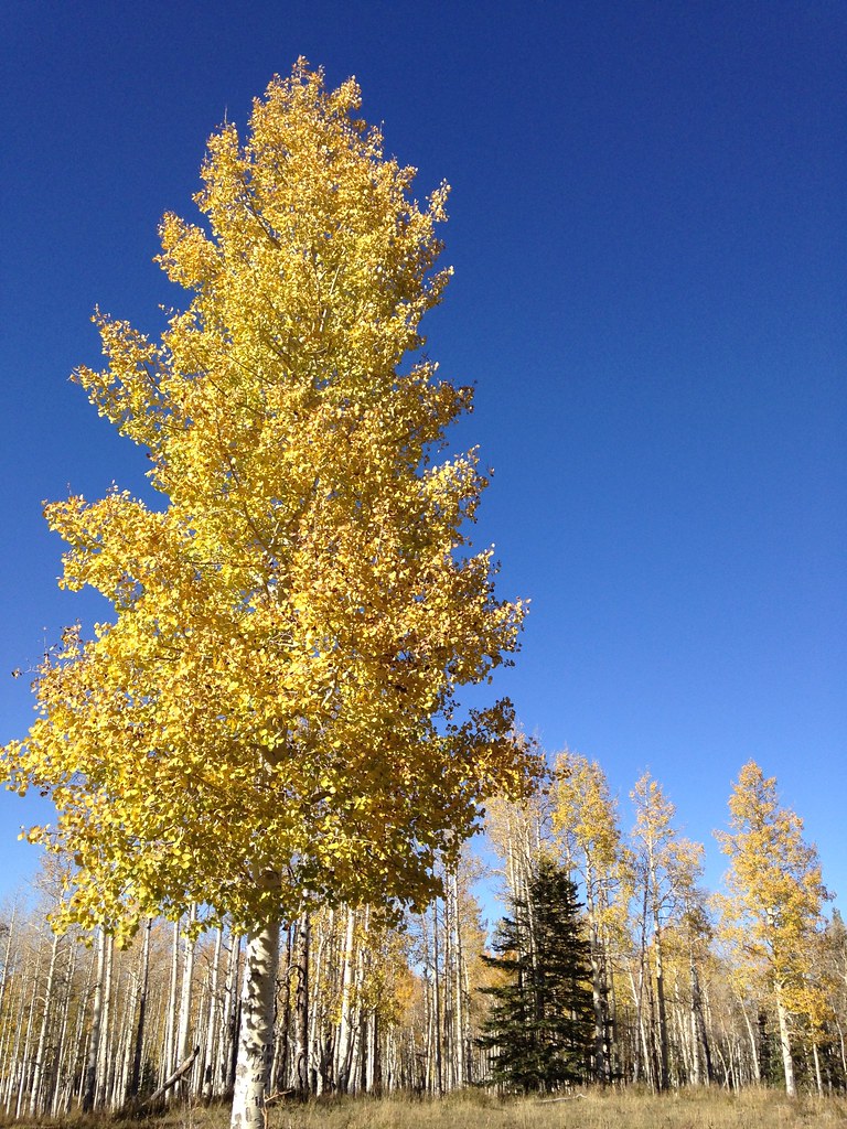 Reservoir #1Hiking · ~16 min drivePhoto: iagoarchangel, CC BY-SA 2.0 (via Flickr)
 Turkey FlatsHiking · ~18 min drivePhoto: iagoarchangel, CC BY-SA 2.0 (via Flickr)Black PineHiking · ~16 min drivePhoto: iagoarchangel, CC BY-SA 2.0 (via Flickr)
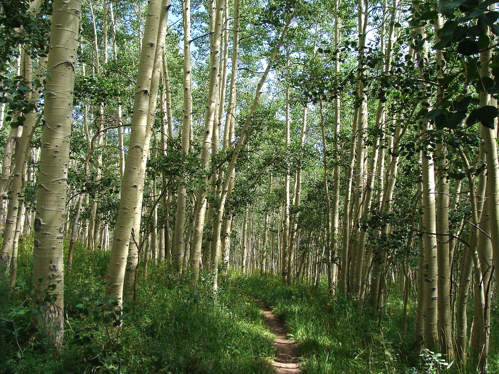 HaypressHiking · ~17 min drivePhoto: iagoarchangel, CC BY-SA 2.0 (via Flickr)

