Clear Creek RV Park
Campground
Campground · 1.3 mi from the trail
Lubahn Trail is a short, easy out-and-back hike on city land in Golden, Colorado, set within the City of Golden City Land - General. The trail is about 0.44 miles long, and the round trip covers roughly 0.88 miles with a total elevation gain of about 247 feet. The high point is 6,065 feet, and the low point is 5,846 feet, so the climb is back-loaded, with the steepest stretch at about 0.16 miles from the start. The trail is an easy addition to a day spent exploring the surrounding area. The Olivine Trail lies just 0.1 mile away, and the Dome Flow Trail and Serpentine Trail are both within a mile. Climbers can find the Child Free Zone (aka Parkway Crags) about a mile off.
Clear Creek RV Park
Campground
Cheese Ranch
Restaurant
 If it rainsClyde Charles Brown, CC BY-SA 4.0 · Wikimedia Commons
University museum, geology in CO, United States
Places © OpenStreetMap contributors · Photos: Clyde Charles Brown, CC BY-SA 4.0 (commons)
More in Idaho SpringsNot on Roamze yet. Their page has how to reach them.
 Serpentine TrailHikingPhoto: Scott McLeod, CC BY 2.0 (via Flickr)0.8 mi
 Child Free Zone (aka Parkway Crags)Rock climbingPhoto: ShanMcG213, CC BY-SA 2.0 (via Flickr)1 mi
 Overhang AreaRock climbingPhoto: ShanMcG213, CC BY-SA 2.0 (via Flickr)1.1 mi
 Clear Creek RV ParkCampingPhoto: cogdogblog, CC BY 2.0 (via Wikimedia Commons)1.3 mi
Source: Roamze catalog (indexable pages within 10 miles, PostGIS distance)
Serpentine TrailHiking · ~1 min drivePhoto: Scott McLeod, CC BY 2.0 (via Flickr) Golden Cliffs TrailHiking · ~2 min drivePhoto: gregor_y, CC BY-SA 2.0 (via Flickr)North Table Loop TrailHiking · ~5 min drivePhoto: gregor_y, CC BY-SA 2.0 (via Flickr)West Quarry TrailHiking · ~3 min drivePhoto: gregor_y, CC BY-SA 2.0 (via Flickr)
 Nightbird Gulch TrailHiking · ~3 min drivePhoto: Ligoweth, CC BY-SA 2.0 (via Wikimedia Commons)
 Rim Rock TrailHiking · ~4 min drivePhoto: Jesse James — CC BY 2.0 (via Flickr)Welch Ditch TrailHiking · ~3 min drivePhoto: Ligoweth, CC BY-SA 2.0 (via Wikimedia Commons)
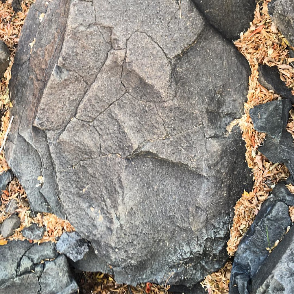 Mesa Top TrailHiking · ~4 min drivePhoto: gregor_y, CC BY-SA 2.0 (via Flickr)
 North Table Mountain TrailHiking · ~3 min drivePhoto: jofwooster, CC BY-SA 3.0 (via Wikimedia Commons)
 Clear Creek TrailHiking · ~4 min drivePhoto: pingnews.com, CC BY-SA 2.0 (via Flickr)
Also worth it near here
 South Table MountainSummit · Next doorPhoto: Rick Kimpel from Spring, TX, USA, CC BY-SA 2.0 (via Wikimedia Commons)Child Free Zone (aka Parkway Crags)Rock climbing · ~2 min drivePhoto: ShanMcG213, CC BY-SA 2.0 (via Flickr)Clear Creek RV ParkCamping · ~2 min drivePhoto: cogdogblog, CC BY 2.0 (via Wikimedia Commons)
Best months: April–June and August–October. Best months have typical highs of 55–85 °F, lows of 30 °F or warmer (32 °F where the station doesn't record snow), at most one snowy day and no more than 12 wet days.
Jan
45° / 23°
4 wet
Feb
46° / 22°
5 wet
Mar
54° / 29°
6 wet
Apr
60° / 35°
8 wet
May
69° / 45°
9 wet
Jun
81° / 55°
7 wet
Jul
87° / 61°
7 wet
Aug
84° / 59°
8 wet
Sep
76° / 51°
6 wet
Oct
64° / 39°
5 wet
Nov
53° / 30°
4 wet
Dec
45° / 23°
4 wet
Typical high / low (°F) and days with rain or snow, 1991–2020. Measured at Ralston Rsvr, CO, 5.4 mi away at 5,900 ft. This station doesn't record snowfall. Source: NOAA NCEI U.S. Climate Normals 1991–2020.
Map and trail data © OpenStreetMap contributors
