Idlewild Campground
Campground
Campground · 1.7 mi from the trail
Alert in the area
The Forest Service lists 3 alerts for Arapaho and Roosevelt National Forests.
Fire Restrictions
Agency alert covering Arapaho and Roosevelt National Forests · USFS · Arapaho and Roosevelt National Forests
Fire Restrictions
Agency alert covering Sulphur Ranger District · USFS · Sulphur Ranger District
Permanent Recreational Shooting Order
Agency alert covering Sulphur Ranger District · Order 02-10-00-25-02 · USFS · Sulphur Ranger District
As of · Source: USFS · Arapaho and Roosevelt National Forests. Agencies don't list every closure — check before you go.
The Long Trail is a short, easy out-and-back hike in Colorado's Arapaho and Roosevelt National Forests, within the Sulphur Ranger District. The Forest Service manages the land, and the trail starts at about 10,075 feet, rising to a high point of 10,103 feet before returning to the starting elevation. The total round-trip gain is 560 feet, and the route is about 1.4 miles long, so it fits easily into a half day. Summer is the most comfortable time to go. Typical averages from the nearby Cabin Creek weather station show July highs around 69°F with lows near 46°F, while winter highs sit around freezing. The station sits at nearly the same elevation as the trail, so its figures are a fair guide to conditions on the route. The Rainmaker mountain biking trail lies just 0.1 mile away, and the Lower Long Trail is about half a mile off. B-Lot Boulder, a climbing area, is roughly 1.2 miles away, and Idlewild Campground is about 1.7 miles away for an overnight stay.
Idlewild Campground
Campground
Snoasis
Restaurant
 If it rainsUser:Magicpiano, CC BY-SA 4.0 · Wikimedia Commons
Historic house-museum in Georgetown, Colorado, United States
Places © OpenStreetMap contributors · Photos: User:Magicpiano, CC BY-SA 4.0 (commons)
More in Idaho SpringsNot on Roamze yet. Their page has how to reach them.
 Lower Long TrailHikingPhoto: aperturismo, CC BY-SA 2.0 (via Flickr)0.5 mi
 Saint Louis CreekCanoeingPhoto: Jeffrey Beall, CC BY 4.0 (via Wikimedia Commons)5.5 mi
Source: Roamze catalog (indexable pages within 10 miles, PostGIS distance)
Lower Long TrailHiking · Next doorPhoto: aperturismo, CC BY-SA 2.0 (via Flickr)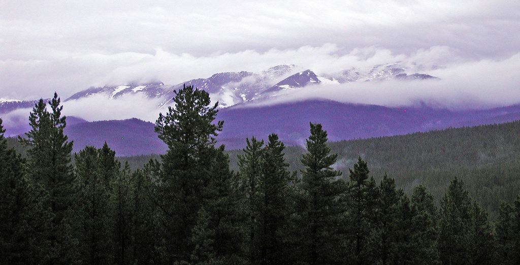 Blue SkyHiking · ~3 min drivePhoto: edcrowle, CC BY 2.0 (via Flickr)
 Jim CreekHiking · ~4 min drivePhoto: halseike, CC BY 2.0 (via Flickr)
 SerenityHiking · ~2 min drivePhoto: gregor_y, CC BY-SA 2.0 (via Flickr)
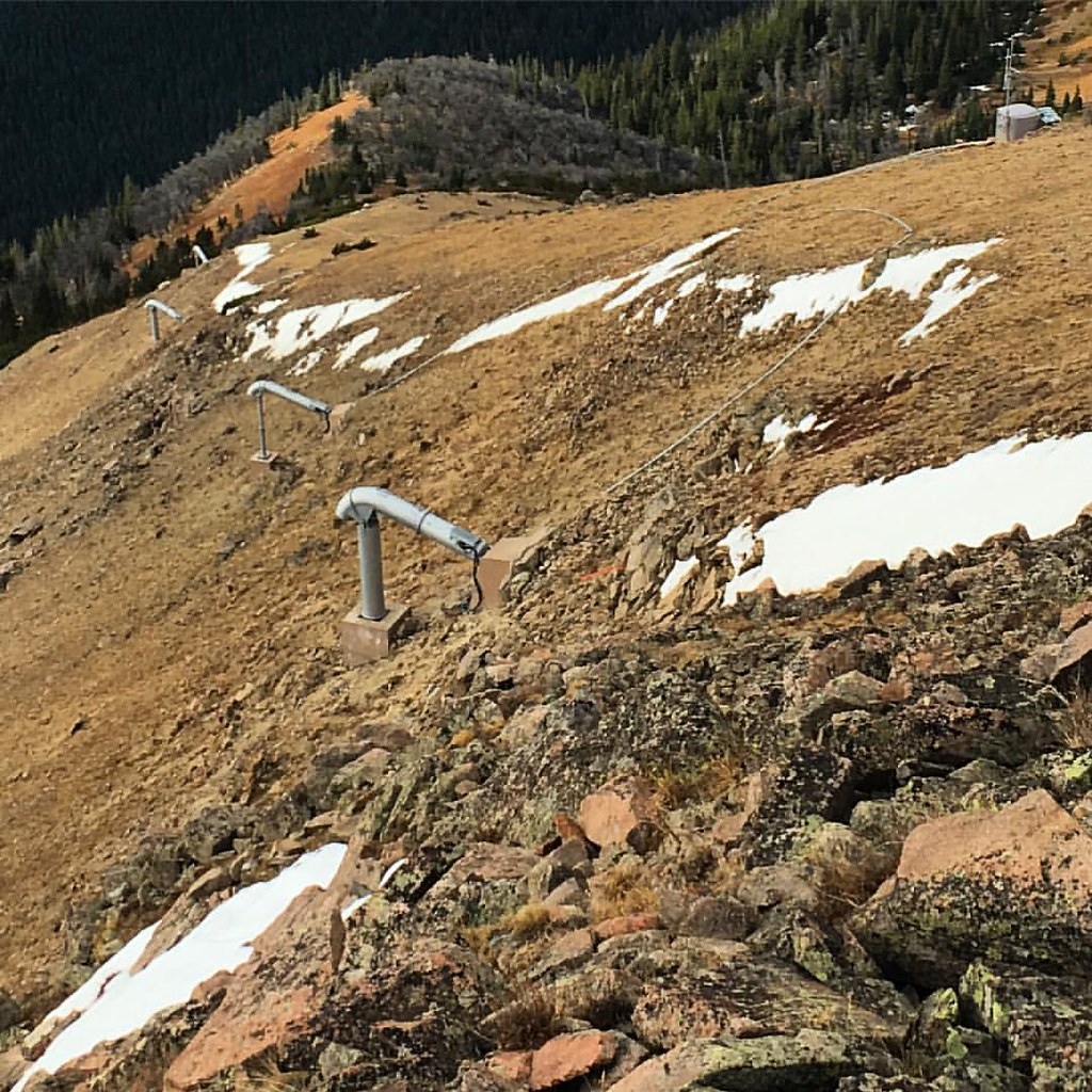 UPPER ELK CREEKHiking · ~5 min drivePhoto: gregor_y, CC BY-SA 2.0 (via Flickr)
 ELK CREEK LOOPHiking · ~5 min drivePhoto: gregor_y, CC BY-SA 2.0 (via Flickr)
 Lower CherokeeHiking · ~2 min drivePhoto: gregor_y, CC BY-SA 2.0 (via Flickr)Upper CherokeeHiking · ~2 min drivePhoto: gregor_y, CC BY-SA 2.0 (via Flickr)
Best months: June and September. Best months have typical highs of 55–85 °F, lows of 30 °F or warmer (32 °F where the station doesn't record snow), at most one snowy day and no more than 12 wet days.
Jan
32° / 12°
8 wet
Feb
31° / 11°
8 wet
Mar
38° / 17°
9 wet
Apr
43° / 23°
10 wet
May
53° / 31°
9 wet
Jun
64° / 40°
9 wet
Jul
69° / 46°
13 wet
Aug
67° / 44°
14 wet
Sep
61° / 38°
10 wet
Oct
50° / 29°
7 wet
Nov
39° / 19°
7 wet
Dec
32° / 12°
8 wet
Typical high / low (°F) and days with rain or snow, 1991–2020. Measured at Cabin Creek, CO, 16 mi away at 10,020 ft. This station doesn't record snowfall. Source: NOAA NCEI U.S. Climate Normals 1991–2020.
Map and trail data © OpenStreetMap contributors

