Breckenridge Area
Campground
Campground · 1.0 mi from the trail
Alert in the area
The Forest Service lists 6 alerts for White River National Forest.
FSR 286, Radical Hill, is closed due to washouts and unsafe conditions
Agency alert covering White River National Forest · USFS · White River National Forest
Limited parking at Snowmass Creek Trailhead
Agency alert covering White River National Forest · USFS · White River National Forest
Grizzly Creek Trail Closure
Agency alert covering White River National Forest · Order 2026-02 · USFS · White River National Forest
Ruedi Marina Day Use area Dump Station is CLOSED
Agency alert covering White River National Forest · USFS · White River National Forest
Asbestos safety closure - Camp Hale
Agency alert covering White River National Forest · USFS · White River National Forest
As of · Source: USFS · White River National Forest. Agencies don't list every closure — check before you go.
Little Mountain Trail is a short, easy hike in Colorado's White River National Forest, within the Dillon Ranger District. The trail is an out-and-back that starts and ends at about 9,820 feet, with a total round-trip gain of 239 feet and a high point of about 9,981 feet. The climb is front-loaded, so the steepest stretch comes early on, at about 17% grade, and the rest of the way is mellow. Summer is the most comfortable time to go. Typical July averages from a nearby weather station run around 71°F for highs and 42°F for lows, while winter highs sit near 31°F. Mountain bikers can ride the Illinois Creek High Trail and Southside Trail, both about 0.2 miles away. Paddlers will find the Blue River about 0.7 miles off. For an overnight stay, Selkirk Campground is roughly 8 miles away.
Breckenridge Area
Campground
Traverse Restaurant and Bar
Restaurant
 If it rainsJeremy Olson, CC BY-SA 4.0 · Wikimedia Commons
Places © OpenStreetMap contributors · Photos: Jeremy Olson, CC BY-SA 4.0 (commons)
More in LeadvilleDaily highs and lows, wind and the chance of precipitation at the summit and route start for the next 7 days, from the Open-Meteo model.
Source: Roamze catalog (indexable pages within 10 miles, PostGIS distance)
 Trail near Sawmill ReservoirHiking · ~1 min drivePhoto: Juan Ortega, CC BY 3.0 (via Wikimedia Commons)
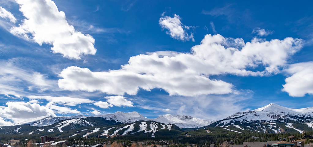 ProspectHiking · ~2 min drivePhoto: TerryDOtt, CC BY 2.0 (via Flickr)Lehman TrailHiking · ~3 min drivePhoto: Juan Ortega, CC BY 3.0 (via Wikimedia Commons)
 Betty's TrailHiking · ~2 min drivePhoto: vwcampin, CC BY 2.0 (via Flickr)Burro TrailHiking · ~3 min drivePhoto: Juan Ortega, CC BY 3.0 (via Wikimedia Commons)
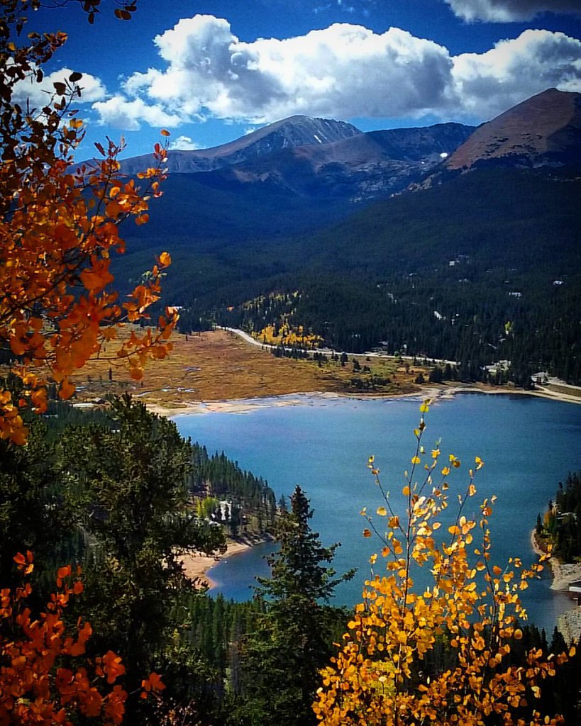 Chantilly TrailHiking · ~4 min drivePhoto: Penycat, CC BY 2.0 (via Flickr)
Best months: June–September. Best months have typical highs of 55–85 °F, lows of 30 °F or warmer (32 °F where the station doesn't record snow), at most one snowy day and no more than 12 wet days.
Jan
31° / 10°
Feb
31° / 9°
Mar
38° / 16°
Apr
45° / 22°
May
55° / 29°
Jun
66° / 37°
Jul
71° / 42°
Aug
68° / 41°
Sep
62° / 35°
Oct
51° / 26°
Nov
39° / 17°
Dec
31° / 10°
Typical high / low (°F) and days with rain or snow, 1991–2020. Measured at Fairplay S Park Rd, CO, 17.2 mi away at 9,995 ft. This station doesn't record snowfall. Source: NOAA NCEI U.S. Climate Normals 1991–2020.
About 0.3 mi round trip.
About 239 ft of climbing round trip.
It is rated easy.
About 0 hours round trip.
Map and trail data © OpenStreetMap contributors


