Droz Creek Cabin
Campground
Campground · 2.3 mi from the trail
Alert in the area
The Forest Service lists 7 alerts for Pike and San Isabel National Forests.
FSR 286, Radical Hill, is closed due to washouts and unsafe conditions
Agency alert covering Pike and San Isabel National Forests · USFS · Pike and San Isabel National Forests
Interlaken Hotel Tree Hazards
Agency alert covering Pike and San Isabel National Forests · USFS · Pike and San Isabel National Forests
Sharpe Fire Update
Agency alert covering Pike and San Isabel National Forests · USFS · Pike and San Isabel National Forests
Turquoise Lake Road (County Road 4) Closure
Agency alert covering Pike and San Isabel National Forests · USFS · Pike and San Isabel National Forests
Food Storage Prohibitions on Pike-San Isabel National Forests
Agency alert covering Pike and San Isabel National Forests · Order 02-12-00-23-07 · USFS · Pike and San Isabel National Forests
As of · Source: USFS · Pike and San Isabel National Forests. Agencies don't list every closure — check before you go.
Little Cochetopa is an out-and-back hike of about 8.2 miles on natural surface in the Salida Ranger District of the Pike and San Isabel National Forests in Colorado. The trail climbs from a low point of about 10,254 feet to a high point of about 12,286 feet, with a total elevation gain of about 2,014 feet. The Forest Service manages the land, and the route is rated hard. Horses are allowed. The parking area for the trail is named Little Cochetopa, and the trail is open year-round. For a longer outing, O'Haver Campground and Ohaver Lake sit about 3.1 miles away. The Agate Creek hike and the South Arkansas River, a canoeing spot, are within about 6 miles.
Droz Creek Cabin
Campground
Mountain Spirit Winery Ltd.
Brewery
Waunita Pass
Viewpoint
Places © OpenStreetMap contributors
More in PitkinNot on Roamze yet. Their page has how to reach them.
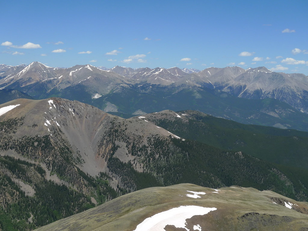 Pass Creek Trail 1412HikingPhoto: jl_2, CC BY-SA 2.0 (via Flickr)2.1 mi
 O'Haver CampgroundCampingPhoto: Jeffrey Beall, CC BY 4.0 (via Wikimedia Commons)3.1 mi
 Agate CreekHikingPhoto: jl_2, CC BY-SA 2.0 (via Flickr)3.8 mi
 South Arkansas RiverCanoeingPhoto: Jeffrey Beall, CC BY 4.0 (via Wikimedia Commons)5.7 mi
Source: Roamze catalog (indexable pages within 10 miles, PostGIS distance)
Agate CreekHiking · ~6 min drivePhoto: jl_2, CC BY-SA 2.0 (via Flickr) Mount ShavanoHiking · ~17 min drivePhoto: kalestews, CC BY 2.0 (via Flickr)Taylor MountainHiking · ~18 min drivePhoto: kalestews, CC BY 2.0 (via Flickr)
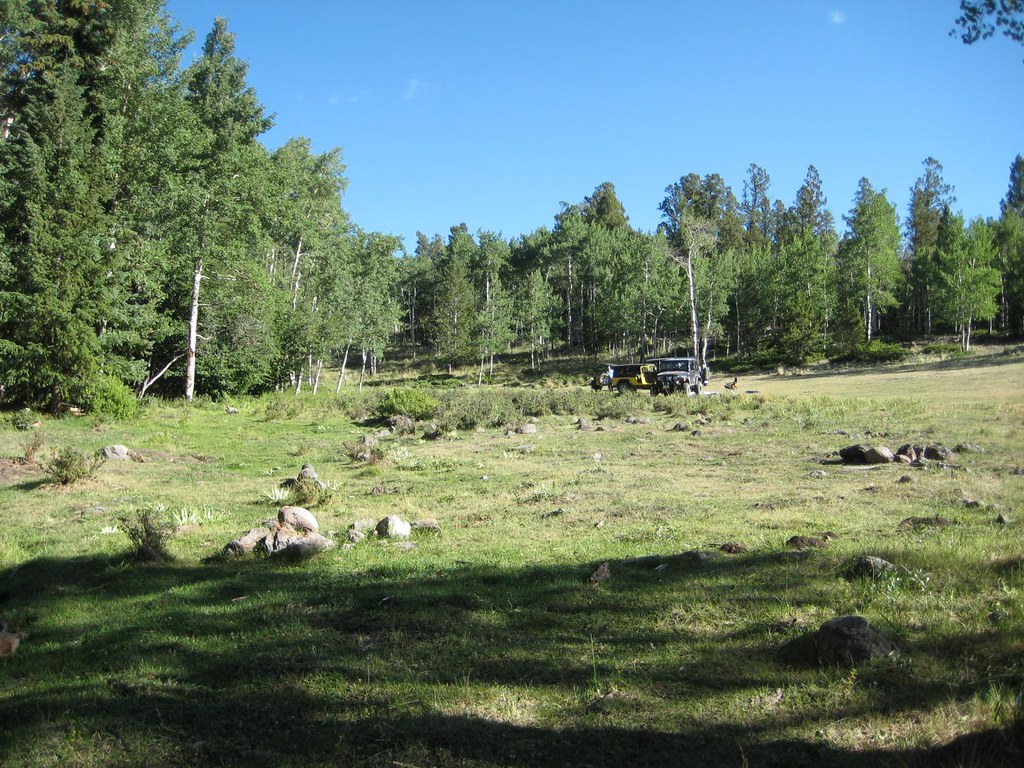 Antora CreekHiking · ~19 min drivePhoto: GSEC, CC BY 2.0 (via Flickr)Tabeguache PeakHiking · ~17 min drivePhoto: kalestews, CC BY 2.0 (via Flickr)Brewery CreekHiking · ~19 min drivePhoto: GSEC, CC BY 2.0 (via Flickr)
Also worth it near here
 Mount OuraySummit · ~5 min drivePhoto: David Herrera from Albuquerque, NM, Bernalillo, CC BY 2.5 (via Wikimedia Commons)O'Haver CampgroundCamping · ~5 min drivePhoto: Jeffrey Beall, CC BY 4.0 (via Wikimedia Commons)
Map and trail data © OpenStreetMap contributors
