Limbaugh Canyon
- 5.6 mi
- round trip
- 997 ft
- climb
- 9,207 ft
- high point
- Out and back
- route
- Jun–Sep
- best months
Is Limbaugh Canyon open right now?
Alert in the area
The Forest Service lists 11 alerts for Pike and San Isabel National Forests.
FSR 286, Radical Hill, is closed due to washouts and unsafe conditions
Agency alert covering Pike and San Isabel National Forests · USFS · Pike and San Isabel National Forests
Interlaken Hotel Tree Hazards
Agency alert covering Pike and San Isabel National Forests · USFS · Pike and San Isabel National Forests
Sharpe Fire Update
Agency alert covering Pike and San Isabel National Forests · USFS · Pike and San Isabel National Forests
Turquoise Lake Road (County Road 4) Closure
Agency alert covering Pike and San Isabel National Forests · USFS · Pike and San Isabel National Forests
Waldo Canyon Burn Area Closure
Agency alert covering Pikes Peak Ranger District · Order 02-12-09-24-07 · USFS · Pikes Peak Ranger District
As of · Source: USFS · Pike and San Isabel National Forests. Agencies don't list every closure — check before you go.
Limbaugh Canyon is a moderate, out-and-back hike in Colorado's Pikes Peak Ranger District of the Pike and San Isabel National Forests, about 5.6 miles long with a one-way climb of 997 feet from a low point of 8,064 feet to a high of 9,207 feet. The Forest Service manages the land. Summer is the most comfortable time to go. Typical July averages at a nearby weather station run to a high of 74°F and a low of 47°F, while winter highs stay around freezing. The trail is open year-round. Bikes are allowed on this natural-surface route. Scorpio Dome, a climbing area, lies 1.6 miles away, and the R&B Trail is 1.9 miles off. Springdale Campground is about 5.5 miles away, and Dikeside Boating Site is 6.5 miles away.
Local outfitters
- Broadmoor Outfitters21 mi away
- Gold Belt Tour Scenic and Historic Byway31 mi away
Not on Roamze yet. Their page has how to reach them.
Best time to go · Jun–Sep
Best time to visit Limbaugh Canyon
Best months: June–September. Best months have typical highs of 55–85 °F, lows of 30 °F or warmer (32 °F where the station doesn't record snow), at most one snowy day and no more than 12 wet days.
Jan
33° / 9°
Feb
34° / 11°
Mar
41° / 17°
Apr
47° / 23°
May
57° / 31°
Jun
69° / 41°
Jul
74° / 47°
Aug
71° / 45°
Sep
65° / 38°
Oct
54° / 27°
Nov
42° / 18°
Dec
33° / 12°
Typical high / low (°F) and days with rain or snow, 1991–2020. Measured at Divide 4nw, CO, 14.7 mi away at 9,134 ft. This station doesn't record snowfall. Source: NOAA NCEI U.S. Climate Normals 1991–2020.
Keep exploring — more trails worth the drive
 Photo: bgautrea, CC BY-SA 2.0 (via Flickr)
Mount Herman
~5 min drive
2.18-mile out-and-back trail in Colorado's Pike and San Isabel National Forests with 774 ft of elevation gain.
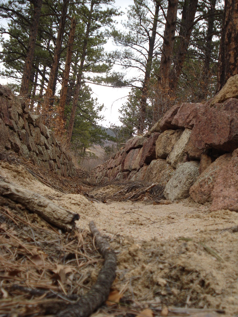 Photo: bgautrea, CC BY-SA 2.0 (via Flickr)
Monument
~8 min drive
12.33-mile out-and-back trail in Colorado with 1,416 ft gain.
 Photo: halseike, CC BY 2.0 (via Flickr)
La Deux Réservoirs Trail
~8 min drive
3.46-mile out-and-back hike in Colorado with 1,567 ft elevation gain and loss.
Photo: bgautrea, CC BY-SA 2.0 (via Flickr)Fall Mountain Peak Trail
~5 min drive
1.74-mile out-and-back trail in Colorado with 716 ft elevation gain
HIKE
Schubarth
~8 min drive
10.32-mile out-and-back trail in Colorado with 632 ft elevation gain.
HIKE
Winding Stairs Connector Trail
~6 min drive
1.7-mile out-and-back trail in Colorado with 1,060 ft elevation gain and loss.
 Photo: bgautrea, CC BY-SA 2.0 (via Flickr)
Mount Herman Trail
~5 min drive
0.66-mile out-and-back trail in Colorado with 462 ft elevation gain.
HIKE
Shubarth Trail
~9 min drive
2.24-mile out-and-back trail in Colorado with 421 ft gain and 9,344 ft max elevation.
 Photo: halseike, CC BY 2.0 (via Flickr)
Monument Spur
~5 min drive
2.7-mile out-and-back trail in Colorado with 469 ft of elevation gain.
HIKE
Lovell Gulch
~6 min drive
4.44-mile loop in Colorado's Pike and San Isabel National Forests.
