Crystal Lake
- 20.7 mi
- round trip
- 1,979 ft
- climb
- 12,239 ft
- high point
- Out and back
- route
Is Crystal Lake open right now?
Closure in the area
There's a closure order in Grand Mesa, Uncompahgre and Gunnison National Forests. It doesn't name Crystal Lake, so check the source for the area it covers (2 listed).
Gold Mountain Wildfire Roads and Trails Closure Order v 4.0
Agency closure covering Grand Mesa, Uncompahgre and Gunnison National Forests · USFS · Grand Mesa, Uncompahgre and Gunnison National Forests
Ophir Pass Road Closure
Agency closure covering Grand Mesa, Uncompahgre and Gunnison National Forests · USFS · Grand Mesa, Uncompahgre and Gunnison National Forests
TERMINATION OF ORDER - FIRE RESTRICTIONS
Agency alert covering Grand Mesa, Uncompahgre and Gunnison National Forests · USFS · Grand Mesa, Uncompahgre and Gunnison National Forests
Dallas Area Closure order
Agency alert covering Grand Mesa, Uncompahgre and Gunnison National Forests · USFS · Grand Mesa, Uncompahgre and Gunnison National Forests
Island Lake Road Closure
Agency alert covering Grand Mesa, Uncompahgre and Gunnison National Forests · USFS · Grand Mesa, Uncompahgre and Gunnison National Forests
As of · Source: USFS · Grand Mesa, Uncompahgre and Gunnison National Forests. Agencies don't list every closure — check before you go.
Crystal Lake is a hard hike in the Gunnison Ranger District of the Grand Mesa, Uncompahgre and Gunnison National Forests in Colorado, managed by the Forest Service. The route is an out-and-back of about 20.7 miles, with a one-way climb of roughly 1,979 feet from a low point of about 9,400 feet to a high of about 12,240 feet. The trail is natural-surfaced and allows horses, so riders can take it as well as hikers. The climb is long and steep, and the high point sits well above 12,000 feet. Larson Lakes lies just 0.1 mile away, and Thompson Lake, a mountain biking area, is about 0.4 mile off. For an overnight stay, Elkhorn RV Resort is about 0.6 mile away and Henson Creek RV Park is about 1.2 miles away.
Local outfitters
- Grizzly RT RV Park11 mi away
- Peak Mountain Guides19 mi away
Not on Roamze yet. Their page has how to reach them.
Keep exploring — more trails worth the drive
 Photo: JustTooLazy, CC BY 2.0 (via Flickr)
Lake To Lake Trail
~6 min drive
0.74-mile out-and-back hike in Colorado with 97 ft elevation gain.
 Photo: kalestews, CC BY 2.0 (via Flickr)
Silver Mountain
~10 min drive
Route to the summit of Silver Mountain (13,701 ft) from Nellie Creek Trailhead.
 Photo: John Sowell, CC BY-SA 4.0 (via Wikimedia Commons)
Broken Hill
~16 min drive
Route to the summit of Broken Hill (13,215 ft) from Matterhorn Trailhead.
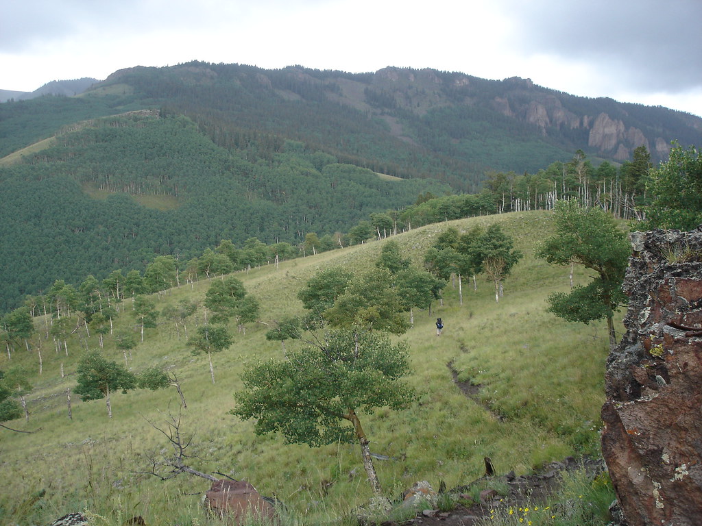 Photo: gregmote, CC BY 2.0 (via Flickr)
Independence Gulch
~7 min drive
5.84-mile out-and-back trail in Colorado with 1,742 ft elevation gain.
Photo: gregmote, CC BY 2.0 (via Flickr)Independence Bypass
~7 min drive
1.85-mile out-and-back trail in Colorado with 97 ft of elevation gain.
Photo: kalestews, CC BY 2.0 (via Flickr)Sheep Mountain
~10 min drive
Route to the summit of Sheep Mountain (13,176 ft) from Nellie Creek Trailhead.
HIKE
Larson Lakes
Next door
14 mi · Hard
HIKE
Waterdog Lake Trail (3317T)
~3 min drive
5.2-mile out-and-back trail in Colorado with 1,244 ft elevation gain and loss.
Photo: kalestews, CC BY 2.0 (via Flickr)Big Blue Creek
~11 min drive
1.66-mile out-and-back trail in Colorado with 178 ft elevation gain.
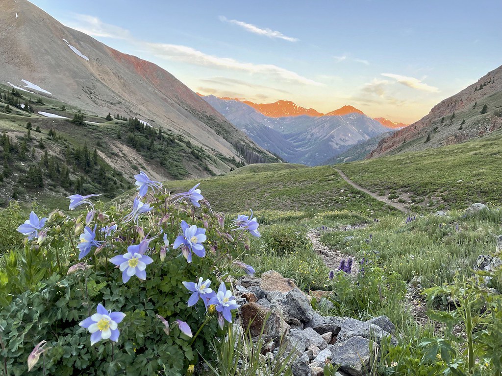 Photo: kalestews, CC BY 2.0 (via Flickr)
Sunshine Peak Climber's Route
~16 min drive
4.66-mile out-and-back trail to Sunshine Peak with 2,793 ft gain.

