Black Canyon
- 1.6 mi
- round trip
- 206 ft
- climb
- 11,156 ft
- high point
- Out and back
- route
Is Black Canyon open right now?
Alert in the area
The Forest Service lists 7 alerts for Pike and San Isabel National Forests.
FSR 286, Radical Hill, is closed due to washouts and unsafe conditions
Agency alert covering Pike and San Isabel National Forests · USFS · Pike and San Isabel National Forests
Interlaken Hotel Tree Hazards
Agency alert covering Pike and San Isabel National Forests · USFS · Pike and San Isabel National Forests
Sharpe Fire Update
Agency alert covering Pike and San Isabel National Forests · USFS · Pike and San Isabel National Forests
Turquoise Lake Road (County Road 4) Closure
Agency alert covering Pike and San Isabel National Forests · USFS · Pike and San Isabel National Forests
Food Storage Prohibitions on Pike-San Isabel National Forests
Agency alert covering Pike and San Isabel National Forests · Order 02-12-00-23-07 · USFS · Pike and San Isabel National Forests
As of · Source: USFS · Pike and San Isabel National Forests. Agencies don't list every closure — check before you go.
Black Canyon is an easy out-and-back hike of about 1.6 miles in Colorado's Sangre de Cristo Wilderness, part of the Salida Ranger District of the Pike and San Isabel National Forests. The trail starts at an elevation of about 10,692 feet and climbs roughly 206 feet to a high point of about 11,156 feet. The Forest Service manages the surrounding land, and the route lies within designated wilderness. That makes the hike a compact outing in a protected backcountry setting, with the climb gentle enough to fit into a short visit to the area. Several other destinations sit within a few miles. Steel Canyon and the Rainbow Trail are both hikes about 3 miles away, and Hayden Creek Campground offers camping at a similar distance. For an overnight stay further afield, Coaldale Campground is about 3.8 miles off.
Local outfitters
- San Luis Valley Campground8 mi away
- Black Bear Retreat11 mi away
Not on Roamze yet. Their page has how to reach them.
- Steel CanyonHiking2.8 mi
- Rainbow TrailHiking2.9 mi
- Hayden Creek CampgroundCamping2.9 mi
- Coaldale CampgroundCamping3.8 mi
- Bushnell LakesHiking4.2 mi
- Stout Creek LakesHiking6 mi
 Valley View Hot SpringsCampingPhoto: Dan Nevill, CC BY 2.0 (via Wikimedia Commons)6.9 mi
- CoaldaleRock climbing7.7 mi
Source: Roamze catalog (indexable pages within 10 miles, PostGIS distance)
 Electric PeakHiking · ~10 min drivePhoto: lamblukas, CC BY 2.0 (via Flickr)
- GarnerHiking · ~13 min drivePhoto: lamblukas, CC BY 2.0 (via Flickr)
- Steel CanyonHiking · ~5 min drive
- Hot SpringsHiking · ~13 min drive
- Cottonwood PeakHiking · ~13 min drivePhoto: lamblukas, CC BY 2.0 (via Flickr)
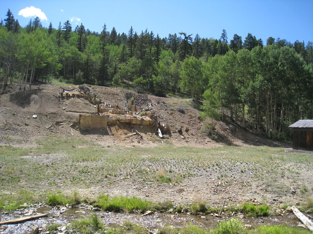 Elk HornHiking · ~28 min drivePhoto: GSEC, CC BY 2.0 (via Flickr)
- Rainbow TrailHiking · ~5 min drive
- North Brush SpurHiking · ~16 min drive
- Lakes PeakHiking · ~14 min drive
- Black CanyonHiking · ~9 min drive

