Lost Lake Campground
Campground
Campground · 2.2 mi from the trail
 Photo: gregor_y, CC BY-SA 2.0 (via Flickr)
Alert in the area
The Forest Service lists 3 alerts for Arapaho and Roosevelt National Forests.
Fire Restrictions
Agency alert covering Arapaho and Roosevelt National Forests · USFS · Arapaho and Roosevelt National Forests
Caribou Road Closure Order
Agency alert covering Boulder Ranger District · Order 02-10-01-26-04 · USFS · Boulder Ranger District
Raptor Nesting Area Closure - Boulder Ranger District
Agency alert covering Boulder Ranger District · Order 02-10-01-26-06 · USFS · Boulder Ranger District
As of · Source: USFS · Arapaho and Roosevelt National Forests. Agencies don't list every closure — check before you go.
Jenny Creek is a 4-mile out-and-back hike on natural-surfaced trails in the Boulder Ranger District of the Arapaho and Roosevelt National Forests, in Colorado. The trail is managed by the Forest Service and climbs from a low point of 9,347 feet to a high of 9,785 feet, with an elevation gain of 427 feet. The climb is moderate, and the route is open year-round. Summer is the most comfortable time to visit. Typical averages from a nearby weather station at a similar elevation run to highs around 68°F in July and 66°F in August, with lows in the low 40s. Winter brings highs near freezing, with lows around 12°F. The trail is close to cross-country ski routes, with Porcupine Park Loop and Ja Sure both about 0.2 miles away. Eldora, a climbing area, is about 2 miles off, and West Magnolia campground is about 3.5 miles away.
Lost Lake Campground
Campground
 If it rainsMatt Golon, CC BY-SA 3.0 · Wikimedia Commons
Places © OpenStreetMap contributors, Places © Overture Maps Foundation · Photos: Matt Golon, CC BY-SA 3.0 (commons)
More in Idaho SpringsNot on Roamze yet. Their page has how to reach them.
 West MagnoliaCampingPhoto: Brylie Oxley, CC BY-SA 3.0 (via Wikimedia Commons)3.5 mi
Source: Roamze catalog (indexable pages within 10 miles, PostGIS distance)
 Pipeline TrailHiking · ~3 min drivePhoto: Tydence, CC BY 2.0 (via Flickr)
 Kinglet TrailHiking · ~3 min drivePhoto: Tony Webster — CC BY 2.0 (via Flickr)
 Lost LakeHiking · ~4 min drivePhoto: toastal_OLD, CC BY 2.0 (via Flickr)
 Old BaldyHiking · ~9 min drivePhoto: Greg Willis, CC BY-SA 3.0 (via Wikimedia Commons)
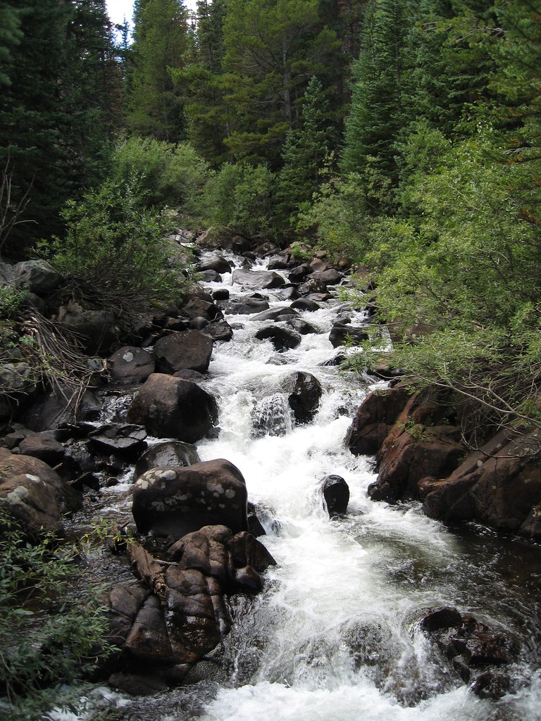 King LakeHiking · ~5 min drivePhoto: laurascudder, CC BY-SA 2.0 (via Flickr)Devils ThumbHiking · ~5 min drivePhoto: laurascudder, CC BY-SA 2.0 (via Flickr)
 Horseshoe CreekHiking · ~7 min drivePhoto: Ben Makuh, CC BY-SA 2.0 (via Flickr)North Arapaho PeakHiking · ~9 min drivePhoto: Greg Willis, CC BY-SA 3.0 (via Wikimedia Commons)
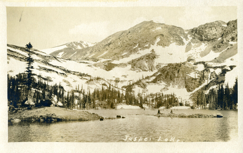 Diamond Lake TrailHiking · ~8 min drivePhoto: waterarchives, CC BY-SA 2.0 (via Flickr)
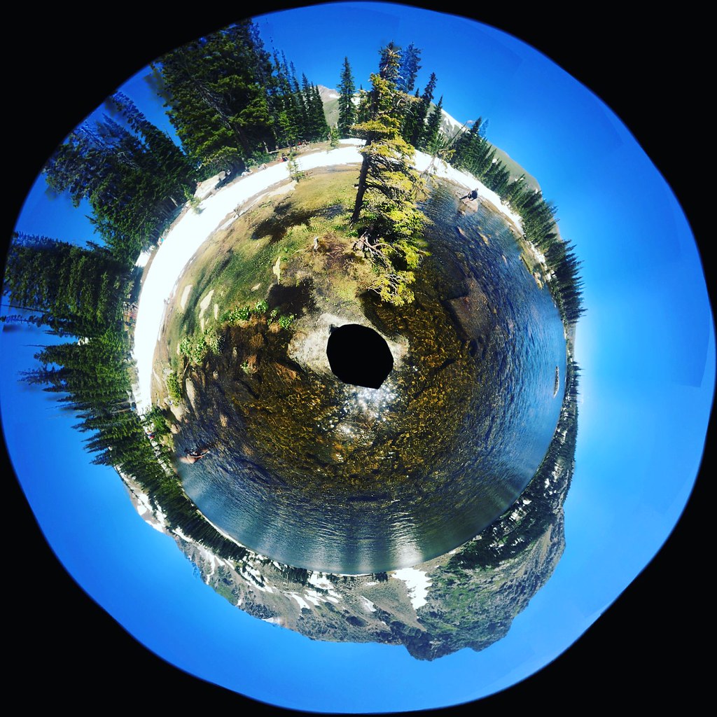 Chittenden MtnHiking · ~5 min drivePhoto: katiebordner, CC BY 2.0 (via Flickr)
Best months: June and September. Best months have typical highs of 55–85 °F, lows of 30 °F or warmer (32 °F where the station doesn't record snow), at most one snowy day and no more than 12 wet days.
Jan
29° / 12°
15 wet
Feb
28° / 11°
16 wet
Mar
36° / 17°
16 wet
Apr
40° / 22°
17 wet
May
50° / 29°
16 wet
Jun
62° / 36°
12 wet
Jul
68° / 43°
14 wet
Aug
66° / 41°
13 wet
Sep
59° / 34°
10 wet
Oct
47° / 26°
10 wet
Nov
35° / 19°
12 wet
Dec
28° / 12°
15 wet
Typical high / low (°F) and days with rain or snow, 1991–2020. Measured at Boulder 14 W, CO, 7.4 mi away at 9,828 ft. This station doesn't record snowfall. Source: NOAA NCEI U.S. Climate Normals 1991–2020.
