Jackson
- 1.4 mi
- round trip
- 75 ft
- climb
- 9,668 ft
- high point
- Out and back
- route
- Jun–Sep
- best months
Is Jackson open right now?
Closure in the area
There's a closure order in Grand Mesa, Uncompahgre and Gunnison National Forests. It doesn't name Jackson, so check the source for the area it covers (2 listed).
Gold Mountain Wildfire Roads and Trails Closure Order v 4.0
Agency closure covering Grand Mesa, Uncompahgre and Gunnison National Forests · USFS · Grand Mesa, Uncompahgre and Gunnison National Forests
Ophir Pass Road Closure
Agency closure covering Grand Mesa, Uncompahgre and Gunnison National Forests · USFS · Grand Mesa, Uncompahgre and Gunnison National Forests
TERMINATION OF ORDER - FIRE RESTRICTIONS
Agency alert covering Grand Mesa, Uncompahgre and Gunnison National Forests · USFS · Grand Mesa, Uncompahgre and Gunnison National Forests
Dallas Area Closure order
Agency alert covering Grand Mesa, Uncompahgre and Gunnison National Forests · USFS · Grand Mesa, Uncompahgre and Gunnison National Forests
Island Lake Road Closure
Agency alert covering Grand Mesa, Uncompahgre and Gunnison National Forests · USFS · Grand Mesa, Uncompahgre and Gunnison National Forests
As of · Source: USFS · Grand Mesa, Uncompahgre and Gunnison National Forests. Agencies don't list every closure — check before you go.
Jackson is an easy, short out-and-back hike in Colorado's Ouray Ranger District, part of the Grand Mesa, Uncompahgre and Gunnison National Forests. The trail is 1.4 miles long, with a total elevation gain of 75 feet, and it is managed by the Forest Service. The route starts and ends at the West Fork parking area, and it is a natural-surface trail that is not accessible. Horses are allowed, but bikes are not. The trail runs from a low point of about 9,034 feet to a high point of about 9,668 feet, so it is a gentle climb rather than a steep one. Summer is the most comfortable time to go. Typical averages from a nearby weather station at Lake City show July highs around 77°F with lows near 44°F, while winter highs stay around 31°F. Jackson Guard Station and the Silver Jack Shoreline mountain biking trail are both about 0.6 miles away, and Alpine Trail 225 is about 0.7 miles off. Silver Jack Campground is about 1.3 miles away.
Local outfitters
- Peak Mountain Guides16 mi away
- Grizzly RT RV Park23 mi away
Not on Roamze yet. Their page has how to reach them.
Best time to go · Jun–Sep
Best time to visit Jackson
Best months: June–September. Best months have typical highs of 55–85 °F, lows of 30 °F or warmer (32 °F where the station doesn't record snow), at most one snowy day and no more than 12 wet days.
Jan
31° / -1°
Feb
36° / 4°
Mar
43° / 15°
Apr
51° / 23°
May
62° / 30°
Jun
74° / 38°
Jul
77° / 44°
Aug
75° / 43°
Sep
68° / 36°
Oct
57° / 25°
Nov
43° / 13°
Dec
31° / 1°
Typical high / low (°F) and days with rain or snow, 1991–2020. Measured at Lake City 1nne, CO, 16.7 mi away at 8,714 ft. The station sits about 1,000 ft lower than this place, so expect it a little cooler here. This station doesn't record snowfall. Source: NOAA NCEI U.S. Climate Normals 1991–2020.
Keep exploring — more trails worth the drive
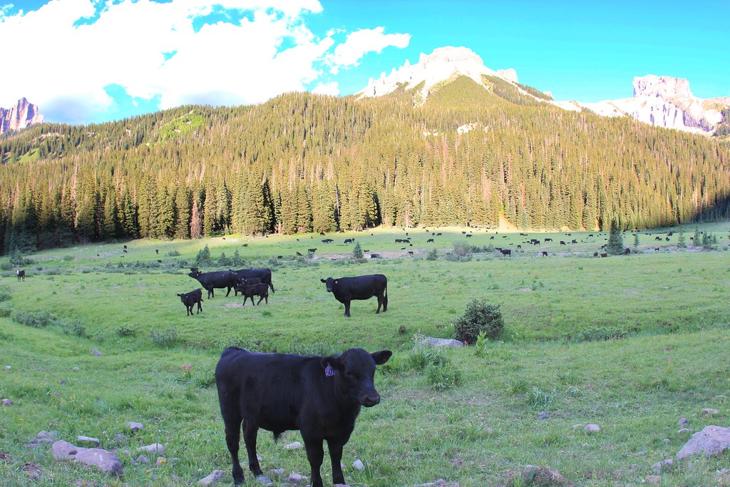 Photo: daveynin, CC BY 2.0 (via Flickr)
OWL CREEK PASS SNO
~9 min drive
23.82-mile out-and-back trail in Colorado with 2,826 ft elevation gain/loss
Photo: daveynin, CC BY 2.0 (via Flickr)OLD OWL CREEK SPUR B
~9 min drive
2.56-mile out-and-back trail in Colorado with 752 ft gain and 10,005 ft max elevation.
 Photo: daveynin, CC BY 2.0 (via Flickr)
Old Owl Creek Trail
~9 min drive
6.38-mile out-and-back trail in Colorado with 2,536 ft elevation gain.
Photo: daveynin, CC BY 2.0 (via Flickr)STEALEY MOUNTAIN SPUR
~10 min drive
3.04-mile out-and-back trail in Colorado with 1,530 ft gain/loss and a max elevation of 9,766 ft.
Photo: daveynin, CC BY 2.0 (via Flickr)NATE CREEK
~9 min drive
14.04-mile out-and-back trail in Colorado with 4,697 ft elevation gain and loss.
HIKE
Silver Jack Shoreline
~1 min drive
1.20-mile out-and-back trail in Colorado's Grand Mesa, Uncompahgre and Gunnison National Forests.
HIKE
Lou Creek Trail 222
~3 min drive
8.54-mile out-and-back trail in Colorado with 3,060 ft elevation gain.
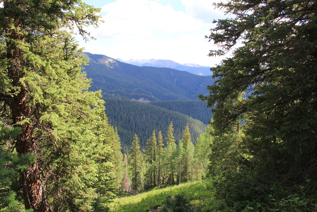 Photo: daveynin, CC BY 2.0 (via Flickr)
Courthouse Mountain
~11 min drive
1.76-mile out-and-back trail in Colorado with 831 ft elevation gain.
HIKE
Failes Creek
~10 min drive
10.97-mile out-and-back trail in Colorado with 1,843 ft elevation gain.
HIKE
Salt House
~1 min drive
3.39-mile out-and-back trail in Colorado with 279 ft elevation gain.
