Granite Gulch Campground
Campground
Campground · 1.9 mi from the trail
 Photo: KimonBerlin, CC BY-SA 2.0 (via Flickr)
Alert in the area
The Forest Service lists 4 alerts for Canyon Lakes Ranger District.
Salt Cabin Prescribed (RX) Fire Closure
Agency alert covering Canyon Lakes Ranger District · Order 02-10-05-26-11 · USFS · Canyon Lakes Ranger District
Fire Restrictions
Agency alert covering Arapaho and Roosevelt National Forests · USFS · Arapaho and Roosevelt National Forests
West Crystal A - Mechanical Fuelbreak Area and Road Closure
Agency alert covering Canyon Lakes Ranger District · Order 02-10-05-26-04 · USFS · Canyon Lakes Ranger District
Cameron Peak Fire Road Closures
Agency alert covering Canyon Lakes Ranger District · Order 02-10-05-26-01 · USFS · Canyon Lakes Ranger District
As of · Source: USFS · Canyon Lakes Ranger District. Agencies don't list every closure — check before you go.
Irvin Homestead is an easy hike of about 1.7 miles in the Canyon Lakes Ranger District of the Arapaho and Roosevelt National Forests in Colorado, managed by the Forest Service. The trail is an out-and-back with a low point of about 8,611 feet and a high of about 8,693 feet, so the climb is gentle, with a total gain of about 137 feet. The trail is on natural surface, and both bikes and horses are allowed. That makes it a practical choice for riders and pack animals as well as hikers. Summer is the most comfortable time to go. Typical averages from a nearby weather station at Allenspark put July highs around 74°F with lows near 44°F, while winter highs stay around freezing. Griffith Homestead and Walker Homestead Trail, both mountain biking routes, sit about 0.4 miles away. Climbers can head to Big Elk Meadows - Boulders, about 3.7 miles off, and paddlers to North Saint Vrain Creek, roughly 6.7 miles away.
Granite Gulch Campground
Campground
Cousin Pat's Pub & Grill
Pub
 If it rainsMatt Golon, CC BY-SA 3.0 · Wikimedia Commons
Places © OpenStreetMap contributors · Photos: Matt Golon, CC BY-SA 3.0 (commons)
More in Estes ParkNot on Roamze yet. Their page has how to reach them.
Best months: May–September. Best months have typical highs of 55–85 °F, lows of 30 °F or warmer (32 °F where the station doesn't record snow), at most one snowy day and no more than 12 wet days.
Jan
32° / 14°
Feb
35° / 15°
Mar
42° / 20°
Apr
46° / 23°
May
56° / 32°
Jun
69° / 38°
Jul
74° / 44°
Aug
73° / 43°
Sep
66° / 36°
Oct
52° / 29°
Nov
41° / 20°
Dec
33° / 14°
Typical high / low (°F) and days with rain or snow, 1991–2020. Measured at Allenspark 3nw, CO, 7 mi away at 8,500 ft. This station doesn't record snowfall. Source: NOAA NCEI U.S. Climate Normals 1991–2020.
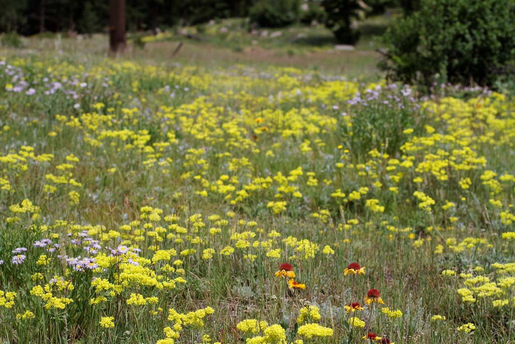 Photo: KimonBerlin, CC BY-SA 2.0 (via Flickr)
Engert Homestead
~2 min drive
1.46-mile out-and-back trail at Engert Homestead in Colorado
 Photo: Jesse James — CC BY 2.0 (via Flickr)
Limber Pine Trail
~2 min drive
4.32-mile trail in Colorado with 800 ft elevation gain and 10,200 ft max elevation.
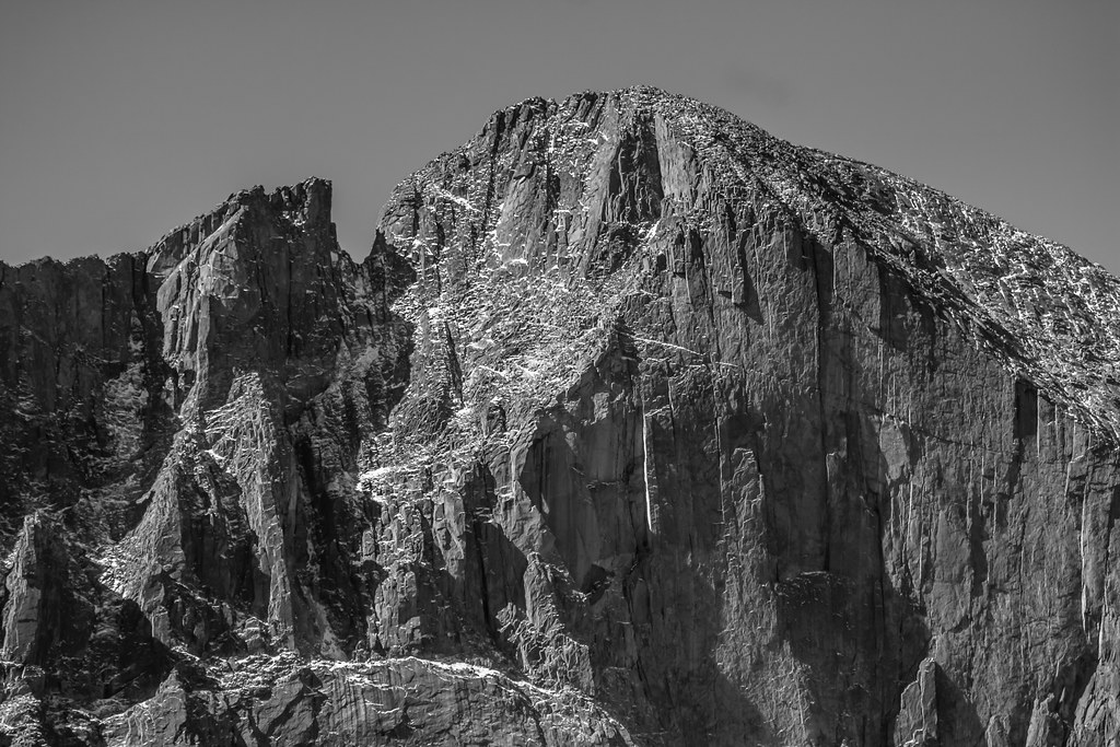 Photo: markbyzewski, CC BY 2.0 (via Flickr)
Longs Peak Trail
~11 min drive
A 13.66-mile out-and-back trail in Colorado that connects to the East Longs Peak Trail system.
Photo: markbyzewski, CC BY 2.0 (via Flickr)Mount Meeker
~11 min drive
Route to the summit of Mount Meeker (13,868 ft) from Longs Peak Trailhead.
 Photo: cogdogblog, CC BY 2.0 (via Wikimedia Commons)
Homestead Meadows Connector Trail
~3 min drive
0.9-mile out-and-back trail in Colorado with 93 ft elevation gain.
Photo: cogdogblog, CC BY 2.0 (via Wikimedia Commons)Moose Meadow Trail
~3 min drive
1.01-mile out-and-back hike in Colorado with 200 ft elevation gain.
 Photo: NPS, Public domain (via Wikimedia Commons)
Deer Mountain Trail
~11 min drive
7.72-mile point-to-point trail in Colorado with 1,800 ft gain and 9,500 ft max elevation.
Photo: cogdogblog, CC BY 2.0 (via Wikimedia Commons)Limber Pine Trail
~5 min drive
0.96-mile out-and-back hike in Colorado with 291 ft of elevation gain.
 Photo: Vadim Manuylov, CC BY-SA 3.0 (via Wikimedia Commons)
Lookout Springs Trail
~5 min drive
2.11-mile trail in Colorado with 400 ft elevation gain.
HIKE
Homestead Meadows
~3 min drive
11.11-mile out-and-back trail in Colorado managed by Arapaho and Roosevelt National Forests.


