Illinois Gulch Trail
 Photo: jaygannett, CC BY-SA 2.0 (via Flickr)
- 1.5 mi
- round trip
- 728 ft
- climb
- 8,148 ft
- high point
- Out and back
- route
- Jun–Jul, Sep
- best months
Is ILLINOIS GULCH TRAIL open right now?
Alert in the area
The Forest Service lists 11 alerts for Pike and San Isabel National Forests.
FSR 286, Radical Hill, is closed due to washouts and unsafe conditions
Agency alert covering Pike and San Isabel National Forests · USFS · Pike and San Isabel National Forests
Interlaken Hotel Tree Hazards
Agency alert covering Pike and San Isabel National Forests · USFS · Pike and San Isabel National Forests
Sharpe Fire Update
Agency alert covering Pike and San Isabel National Forests · USFS · Pike and San Isabel National Forests
Turquoise Lake Road (County Road 4) Closure
Agency alert covering Pike and San Isabel National Forests · USFS · Pike and San Isabel National Forests
Waldo Canyon Burn Area Closure
Agency alert covering Pikes Peak Ranger District · Order 02-12-09-24-07 · USFS · Pikes Peak Ranger District
As of · Source: USFS · Pike and San Isabel National Forests. Agencies don't list every closure — check before you go.
Illinois Gulch Trail is a 3-mile out-and-back hike in the Pikes Peak Ranger District of the Pike and San Isabel National Forests in Colorado, managed by the Forest Service. The trail starts at about 7,550 feet and climbs to a high point of 8,148 feet, with a total elevation gain of 728 feet. The route is rated easy, and the climb is rolling, with the steepest stretch at the start, about 10% grade. Summer is the most comfortable time to go. Typical averages from a nearby weather station at Florissant Fossil Bed show July highs around 79°F with lows near 42°F, while winter highs stay in the upper 30s. The trail is close to other outings. Quarry Trail starts just 0.1 mile away, and Indian Cave is about a mile off. Climbers can head to Old Stage Road, about 2.6 miles away, and Manitou Lake Pavilion offers camping roughly 4.3 miles from the trail.
Local outfitters
- Broadmoor Outfitters28 mi away
- Gold Belt Tour Scenic and Historic Byway34 mi away
Not on Roamze yet. Their page has how to reach them.
- QUARRY TRAILHikingPhoto: jaygannett, CC BY-SA 2.0 (via Flickr)0.1 mi
- Indian CaveHiking1 mi
- Old Stage RoadRock climbing2.6 mi
- Rampart Range BoulderingRock climbing3 mi
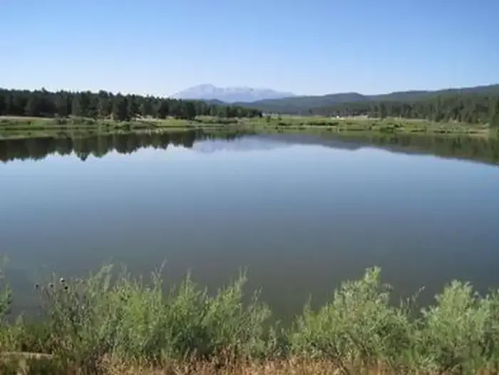 Manitou Lake PavilionCampingPhoto: Recreation.gov (RIDB) / public domain4.3 mi
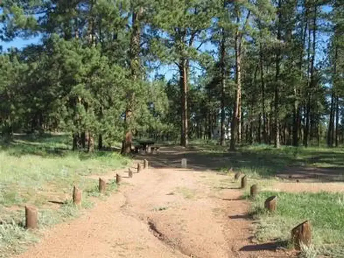 Painted RocksCampingPhoto: Recreation.gov (RIDB) / public domain4.5 mi
- Trout CreekCanoeing4.6 mi
- Horse CreekCanoeing7.7 mi
Source: Roamze catalog (indexable pages within 10 miles, PostGIS distance)
- QUARRY TRAILHiking · Next doorPhoto: jaygannett, CC BY-SA 2.0 (via Flickr)
 770 Turtle MountainHiking · ~7 min drivePhoto: halseike, CC BY 2.0 (via Flickr)
 Long Hollow Trail 650Hiking · ~14 min drivePhoto: Ben Mason, CC BY 2.0 (via Flickr)
- North Divide Trail 717Hiking · ~10 min drive
- approx trail locationHiking · ~13 min drivePhoto: Ben Mason, CC BY 2.0 (via Flickr)
- Indian CaveHiking · ~2 min drive
- Signal Butte Multi Use Trail - 717Hiking · ~8 min drive
 Obscure Trail Climbing AccessHiking · ~13 min drivePhoto: Ben Mason, CC BY 2.0 (via Flickr)
- TROUT CREEK CONNECTIONHiking · ~10 min drive
- 770.e Turtle MountainHiking · ~14 min drive
Also worth it near here
Best time to visit ILLINOIS GULCH TRAIL
Best months: June–July and September. Best months have typical highs of 55–85 °F, lows of 30 °F or warmer (32 °F where the station doesn't record snow), at most one snowy day and no more than 12 wet days.
Jan
39° / 5°
4 wet
Feb
41° / 7°
5 wet
Mar
49° / 15°
6 wet
Apr
55° / 21°
6 wet
May
64° / 29°
8 wet
Jun
75° / 37°
9 wet
Jul
79° / 42°
12 wet
Aug
76° / 41°
13 wet
Sep
71° / 33°
8 wet
Oct
60° / 23°
5 wet
Nov
47° / 14°
4 wet
Dec
39° / 5°
4 wet
Typical high / low (°F) and days with rain or snow, 1991–2020. Measured at Florissant Fossil Bed, CO, 18.9 mi away at 8,402 ft. This station doesn't record snowfall. Source: NOAA NCEI U.S. Climate Normals 1991–2020.


