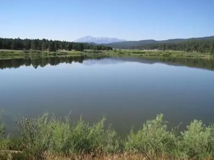
770 Turtle Mountain
 Photo: halseike, CC BY 2.0 (via Flickr)
- 7.1 mi
- distance
- 2,100 ft
- climb
- 11,200 ft
- high point
- Moderate
- difficulty
Is 770 Turtle Mountain open right now?
Alert in the area
The Forest Service lists 8 alerts for Pike and San Isabel National Forests.
FSR 286, Radical Hill, is closed due to washouts and unsafe conditions
Agency alert covering Pike and San Isabel National Forests · USFS · Pike and San Isabel National Forests
Interlaken Hotel Tree Hazards
Agency alert covering Pike and San Isabel National Forests · USFS · Pike and San Isabel National Forests
Sharpe Fire Update
Agency alert covering Pike and San Isabel National Forests · USFS · Pike and San Isabel National Forests
Turquoise Lake Road (County Road 4) Closure
Agency alert covering Pike and San Isabel National Forests · USFS · Pike and San Isabel National Forests
Downed and weakened trees on South Platte Ranger District
Agency alert covering South Platte Ranger District · USFS · South Platte Ranger District
As of · Source: USFS · Pike and San Isabel National Forests. Agencies don't list every closure — check before you go.
770 Turtle Mountain is a moderate hike in Colorado's Pike and San Isabel National Forests, within the South Platte Ranger District. The route is about 7 miles long, with a total elevation gain of 2,100 feet, and it reaches a high point of about 11,200 feet. The Forest Service manages the land. The climb is a steady one, and the route is rated moderate. Plan on about 3.5 hours for the trip. The Fern 2 Trail 633 lies about 0.7 miles away, and the Fern 1 Trail 634 is about 1.5 miles off. Climbers will find Emanon and The Zoo about 1.7 miles from the trail. For an overnight stay, Devils Head Campground is about 5.3 miles away. Horse Creek, a canoeing spot, is about 7.7 miles from the hike.
Local outfitters
- Broadmoor Outfitters31 mi away
- Lostfork Basecamp37 mi away
Not on Roamze yet. Their page has how to reach them.
- Fern 2 Trail 633Hiking0.7 mi
- Fern 1 Trail 634Hiking1.5 mi
- EmanonRock climbing1.7 mi
- The ZooRock climbing1.7 mi
- Blockhead BoulderRock climbing1.7 mi
- Devils Head CampgroundCamping5.3 mi
- Horse CreekCanoeing7.7 mi
 Manitou Lake PavilionCampingPhoto: Recreation.gov (RIDB) / public domain7.9 mi
Source: Roamze catalog (indexable pages within 10 miles, PostGIS distance)
 approx trail locationHiking · ~7 min drivePhoto: Ben Mason, CC BY 2.0 (via Flickr)
- Long Hollow Trail 650Hiking · ~9 min drivePhoto: Ben Mason, CC BY 2.0 (via Flickr)
- TROUT CREEK CONNECTIONHiking · ~6 min drive
- Dutch Fred Trail 679Hiking · ~8 min drive
 QUARRY TRAILHiking · ~7 min drivePhoto: jaygannett, CC BY-SA 2.0 (via Flickr)
- 770.e Turtle MountainHiking · ~11 min drive
- Indian CaveHiking · ~8 min drive
- ILLINOIS GULCH TRAILHiking · ~7 min drivePhoto: jaygannett, CC BY-SA 2.0 (via Flickr)
- TURTLE MOUNTAINHiking · ~11 min drive
- FT 678 Ruby Creek TrailHiking · ~10 min drive
Also worth it near here
 Rampart Range RoadRock climbing · ~4 min drivePhoto: Jacob Montgomery, CC BY-SA 3.0 (via Wikimedia Commons)
- Clay Creek PondLake fishing · ~6 min drive
 Devils HeadSummit · ~8 min drivePhoto: Jeff Albright, CC BY-SA 3.0 (via Wikimedia Commons)
 North LoopMountain biking · ~13 min drivePhoto: Jacob Montgomery, CC BY-SA 3.0 (via Wikimedia Commons)
Map and trail data © OpenStreetMap contributors
