Cripple Creek Hospitality House & RV Park
Campground
Campground · 8.3 mi from the trail
Guffey Gorge Trail is a short, easy out-and-back hike on Bureau of Land Management land in Colorado's Royal Gorge Field Office, about 0.4 miles long and roughly 0.8 miles round trip. The trail starts at the Guffey Gorge Trailhead, and the climb is gentle, with a total gain of about 334 feet from the trailhead's starting point at 8,180 feet to the high point at 8,250 feet. The steepest stretch comes early, around 0.08 miles in, with a grade of about 6 percent. Summer is the most comfortable time to go. Typical averages from a nearby weather station at Florissant Fossil Bed show July highs around 79°F with lows near 42°F, while winter highs stay in the upper 30s. The Guffey Gorge / Paradise Cove fishing spot sits just 0.1 mile away. BLM Trail 5808A is about 5 miles off, and the Okr Trail is about 6 miles away. For an overnight stay, Cripple Creek Hospitality House & RV Park is about 8 miles from the trail.
Cripple Creek Hospitality House & RV Park
Campground
 If it rainsJeffrey Beall, CC BY 3.0 · Wikimedia Commons
Cripple Creek District Museum
Museum
History museum in Cripple Creek, Colorado
Places © OpenStreetMap contributors, Places © Overture Maps Foundation · Photos: Jeffrey Beall, CC BY 3.0 (commons)
More in GuffeyNot on Roamze yet. Their page has how to reach them.
Source: Roamze catalog (indexable pages within 10 miles, PostGIS distance)
 Hi TrailHiking · ~15 min drivePhoto: pdfsmail, CC BY-SA 3.0 (via Wikimedia Commons)
 Cabin Creek TrailHiking · ~16 min drivePhoto: Sack-Sama, CC BY-SA 2.0 (via Flickr)
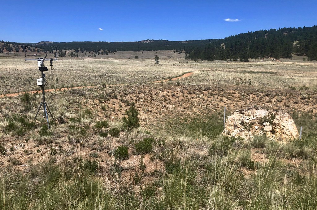 Sawmill-Boulder TrailHiking · ~17 min drivePhoto: roy.luck, CC BY 2.0 (via Flickr)Hammer Homestead TrailHiking · ~17 min drivePhoto: Sack-Sama, CC BY-SA 2.0 (via Flickr)
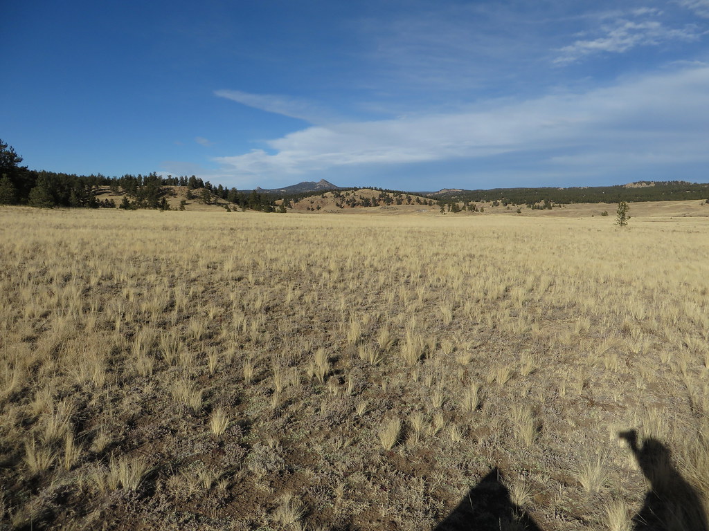 Petrified Forest LoopHiking · ~18 min drivePhoto: Ken Lund, CC BY-SA 2.0 (via Flickr)Hornbek Wildlife LoopHiking · ~18 min drivePhoto: Ken Lund, CC BY-SA 2.0 (via Flickr)
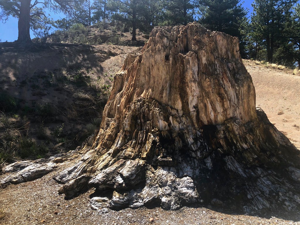 Boulder Creek TrailHiking · ~18 min drivePhoto: roy.luck, CC BY 2.0 (via Flickr)
 Four Mile OverlookHiking · ~18 min drivePhoto: Sack-Sama, CC BY-SA 2.0 (via Flickr)
 Lone Eagle Overlook TrailHiking · ~19 min drivePhoto: Sack-Sama, CC BY-SA 2.0 (via Flickr)
Best months: June–July and September. Best months have typical highs of 55–85 °F, lows of 30 °F or warmer (32 °F where the station doesn't record snow), at most one snowy day and no more than 12 wet days.
Jan
39° / 5°
4 wet
Feb
41° / 7°
5 wet
Mar
49° / 15°
6 wet
Apr
55° / 21°
6 wet
May
64° / 29°
8 wet
Jun
75° / 37°
9 wet
Jul
79° / 42°
12 wet
Aug
76° / 41°
13 wet
Sep
71° / 33°
8 wet
Oct
60° / 23°
5 wet
Nov
47° / 14°
4 wet
Dec
39° / 5°
4 wet
Typical high / low (°F) and days with rain or snow, 1991–2020. Measured at Florissant Fossil Bed, CO, 10.3 mi away at 8,402 ft. This station doesn't record snowfall. Source: NOAA NCEI U.S. Climate Normals 1991–2020.
Map and trail data © OpenStreetMap contributors

