Full Nelson
- 3.9 mi
- round trip
- 191 ft
- climb
- 8,890 ft
- high point
- Out and back
- route
- Jun–Sep
- best months
Is Full Nelson open right now?
Alert in the area
The Forest Service lists 6 alerts for White River National Forest.
FSR 286, Radical Hill, is closed due to washouts and unsafe conditions
Agency alert covering White River National Forest · USFS · White River National Forest
Limited parking at Snowmass Creek Trailhead
Agency alert covering White River National Forest · USFS · White River National Forest
Grizzly Creek Trail Closure
Agency alert covering White River National Forest · Order 2026-02 · USFS · White River National Forest
Ruedi Marina Day Use area Dump Station is CLOSED
Agency alert covering White River National Forest · USFS · White River National Forest
Asbestos safety closure - Camp Hale
Agency alert covering White River National Forest · USFS · White River National Forest
As of · Source: USFS · White River National Forest. Agencies don't list every closure — check before you go.
Full Nelson is a 3.9-mile out-and-back hike in the Holy Cross Ranger District of Colorado's White River National Forest, managed by the Forest Service. The trail rises about 190 feet from a low point of 8,629 feet to a high of 8,890 feet, and it is rated moderate. The route works well for a short outing on a day spent exploring the surrounding area. It is open year-round, and the Forest Service allows both horses and bikes. Summer is the most comfortable time to go. Typical averages from a nearby weather station in Vail, at a lower elevation, show July highs around 77°F with lows near 42°F, while winter highs stay in the 20s. Meadow Mountain, a mountain biking area, sits just 0.1 mile away, and West Grouse Creek is about 0.6 mile off. Climbers can head to Cemetery Block, roughly 2 miles away, and Halfmoon Campground is about 6 miles from the trail.
Go with a guide
- Mineral Belt Trail Guided WalkRoamze · $25 per person · 25 mi away
- Rancho Del Rio23 mi away
Best time to go · Jun–Sep
Best time to visit Full Nelson
Best months: June–September. Best months have typical highs of 55–85 °F, lows of 30 °F or warmer (32 °F where the station doesn't record snow), at most one snowy day and no more than 12 wet days.
Jan
29° / 7°
12 wet
Feb
33° / 9°
11 wet
Mar
42° / 17°
10 wet
Apr
49° / 24°
9 wet
May
60° / 31°
9 wet
Jun
71° / 36°
8 wet
Jul
77° / 42°
10 wet
Aug
74° / 41°
11 wet
Sep
67° / 34°
9 wet
Oct
54° / 25°
7 wet
Nov
38° / 15°
9 wet
Dec
28° / 7°
11 wet
Typical high / low (°F) and days with rain or snow, 1991–2020. Measured at Vail, CO, 6.3 mi away at 8,304 ft. The station sits about 600 ft lower than this place, so expect it a little cooler here. This station doesn't record snowfall. Source: NOAA NCEI U.S. Climate Normals 1991–2020.
Keep exploring — more trails worth the drive
 Photo: wka, CC BY-SA 2.0 (via Flickr)
Whiskey Creek
~2 min drive
5.57-mile out-and-back trail in Colorado managed by White River National Forest.
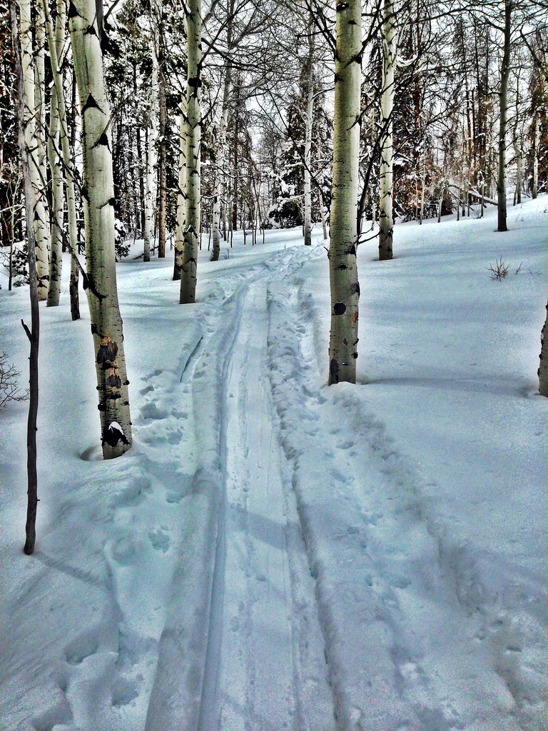 Photo: jrm353, CC BY 2.0 (via Flickr)
Grouse Lake
~2 min drive
7.85-mile out-and-back trail in Colorado with 3,252 ft elevation gain.
HIKE
Grouse Mountain
~9 min drive
6.00-mile out-and-back trail in Colorado at 11,828 ft elevation.
Photo: jrm353, CC BY 2.0 (via Flickr)Hay Meadow
~2 min drive
5.70-mile out-and-back trail in Colorado's White River National Forest with 1,362 ft gain.
Photo: jrm353, CC BY 2.0 (via Flickr)Cougar Ridge
~4 min drive
10.56-mile out-and-back trail in Colorado with 2,154 ft elevation gain.
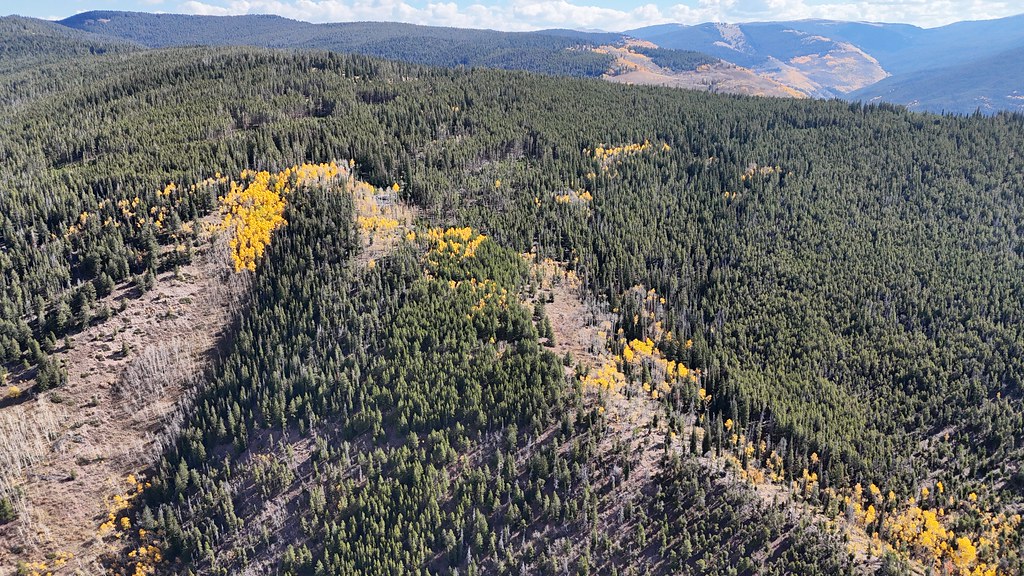 Photo: supercraigtalbert, CC BY 2.0 (via Flickr)
Trail near Iron Mountain
~10 min drive
1.66-mile out-and-back trail near Iron Mountain, Colorado with 276 ft elevation gain.
 Photo: aperturismo, CC BY-SA 2.0 (via Flickr)
Buck Creek
~9 min drive
6.91-mile out-and-back trail in Colorado's White River National Forest with 1,947 ft of elevation gain.
Photo: wka, CC BY-SA 2.0 (via Flickr)Meadow Mountain
~2 min drive
10.82-mile out-and-back trail in Colorado with 423 ft gain and 9,792 ft max elevation.
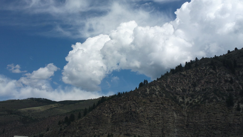 Photo: roland, CC BY 2.0 (via Flickr)
Davos Trail
~3 min drive
Davos Trail is a 1.98-mile trail in Colorado with 400 feet of elevation gain.
HIKE
Eaglevail
~4 min drive
4.55-mile out-and-back trail in Colorado's White River National Forest with 107 ft of elevation gain.
Also worth it near here
