Goat Trail
- 0.4 mi
- round trip
- 56 ft
- climb
- 8,185 ft
- high point
- Out and back
- route
- May–Sep
- best months
Goat Trail is a short, easy hike in Colorado, about a mile from the town of Powderhorn. It is an out-and-back route of less than a mile, with a one-way climb of about 36 feet. The trail starts around 8,170 feet and peaks near 8,185 feet, with the steepest stretch at about a third of a mile in, where the grade reaches about 2%. The whole trip is flat for the most part. Summer is the most comfortable time to go. Typical averages from a nearby weather station at Blue Mesa Lake show July highs around 83°F with lows near 46°F, and June and September are milder, with highs in the mid-70s. Nearby, the Point, Powderhorn, Colorado (AKA Indian Creek) climbing area is about 3.5 miles away. Cebolla Creek Campground and Red Bridge Campground are both a little over 6 miles off, and the Gothic Trail is about 8 miles away.
Local outfitters
- Grizzly RT RV Park30 mi away
- Peak Mountain Guides35 mi away
Not on Roamze yet. Their page has how to reach them.
- The Point, Powderhorn, Colorado (AKA Indian Creek)Rock climbing3.5 mi
- Cebolla Creek CGCamping6.8 mi
- Red Bridge CampgroundCamping6.9 mi
- The Gate CampgroundCamping8.2 mi
- Gothic TrailHiking8.2 mi
 Cebolla CreekCanoeingPhoto: Jeffrey Beall, CC BY 4.0 (via Wikimedia Commons)8.9 mi
Source: Roamze catalog (indexable pages within 10 miles, PostGIS distance)
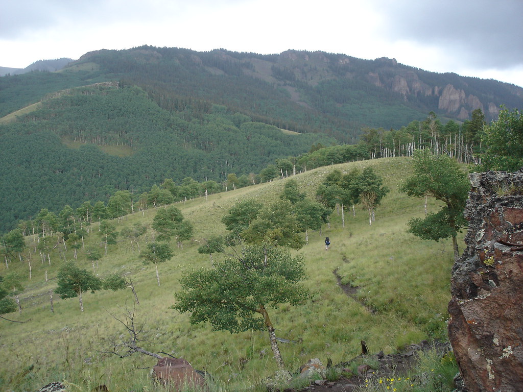 Independence GulchHiking · ~26 min drivePhoto: gregmote, CC BY 2.0 (via Flickr)
 Beaver Creek TrailHiking · ~27 min drivePhoto: flamouroux, CC BY-SA 2.0 (via Flickr)
- North Calf CreekHiking · ~21 min drive
- Cannibal Plateau TrailHiking · ~28 min drive
 Dillon Pinnacles TrailHiking · ~26 min drivePhoto: AndreyZharkikh, CC BY 2.0 (via Flickr)
- Independence BypassHiking · ~27 min drivePhoto: gregmote, CC BY 2.0 (via Flickr)
- CANYON INFIERNOHiking · ~26 min drive
- Failes CreekHiking · ~30 min drive
 Pine Creek TrailHiking · ~31 min drivePhoto: AndreyZharkikh, CC BY 2.0 (via Flickr)
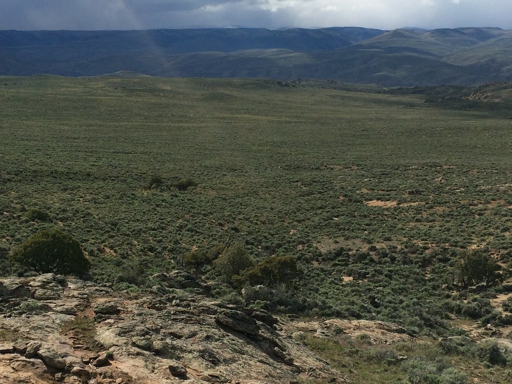 Rocky RidgeHiking · ~29 min drivePhoto: Matt Lavin, CC BY-SA 2.0 (via Flickr)
Also worth it near here
- The Point, Powderhorn, Colorado (AKA Indian Creek)Rock climbing · ~6 min drive
- Cebolla CreekCanoeing · ~15 min drivePhoto: Jeffrey Beall, CC BY 4.0 (via Wikimedia Commons)
- Powderhorn LakesLake fishing · ~19 min drive
 Calf Creek PlateauSummit · ~20 min drivePhoto: John Sowell, CC BY-SA 4.0 (via Wikimedia Commons)
Best time to visit Goat Trail
Best months: May–September. Best months have typical highs of 55–85 °F, lows of 30 °F or warmer (32 °F where the station doesn't record snow), at most one snowy day and no more than 12 wet days.
Jan
25° / -1°
8 wet
Feb
30° / 3°
6 wet
Mar
43° / 15°
5 wet
Apr
56° / 24°
5 wet
May
66° / 32°
5 wet
Jun
77° / 39°
4 wet
Jul
83° / 46°
7 wet
Aug
80° / 45°
8 wet
Sep
73° / 37°
7 wet
Oct
60° / 27°
5 wet
Nov
44° / 15°
5 wet
Dec
29° / 3°
7 wet
Typical high / low (°F) and days with rain or snow, 1991–2020. Measured at Blue Mesa Lake, CO, 13.6 mi away at 7,568 ft. The station sits about 600 ft lower than this place, so expect it a little cooler here. This station doesn't record snowfall. Source: NOAA NCEI U.S. Climate Normals 1991–2020.
Map and trail data © OpenStreetMap contributors
