


Taylor Park Trading Post
Hiking business nearby (~17 mi away) — hasn't claimed their Roamze page yet
Free — you'll pick up right here.
Watch this trail
Sign up to watch it — saving subscribes you to gate, closure and report changes.
Colorado
11.3 mi
Distance
1,320 ft
Gain
We won't guess. Here is exactly what we do and don't know.
What we do know
Inside Grand Mesa, Uncompahgre and Gunnison National Forests
2 managing-area boundaries mapped — agency alerts for them feed this page automatically.
Boundary data
What's missing
No access route mapped
We don't yet know which road reaches this trailhead, so we can't tell you if it's gated.
Nobody's filed a report here yet — be the first.
Why you'll love it
Farris Creek
AI-suggested draft · review before you go
Farris Creek is an 11.4-mile out-and-back trail located in Colorado near the Routt National Forest's Hahns Peak/Bears Ears Ranger District. This moderately-distanced route offers hikers access to the scenic Farris Creek drainage, making it an ideal choice for those seeking a full-day hike in northwestern Colorado's high country. The out-and-back format allows hikers to turn around at any point, making the trail adaptable to individual fitness levels and time constraints. The full 11.4-mile distance represents a substantial day hike suitable for experienced hikers, while shorter out-and-back distances provide options for those with less time. Located within the Routt National Forest system, the trail benefits from professional management and maintenance by the Hahns Peak/Bears Ears Ranger District. This area is known for its diverse terrain and wildlife habitat characteristic of the Colorado Rockies. Hikers should check with the Routt National Forest before heading out for current trail conditions, weather forecasts, and any seasonal closures or restrictions that may apply.
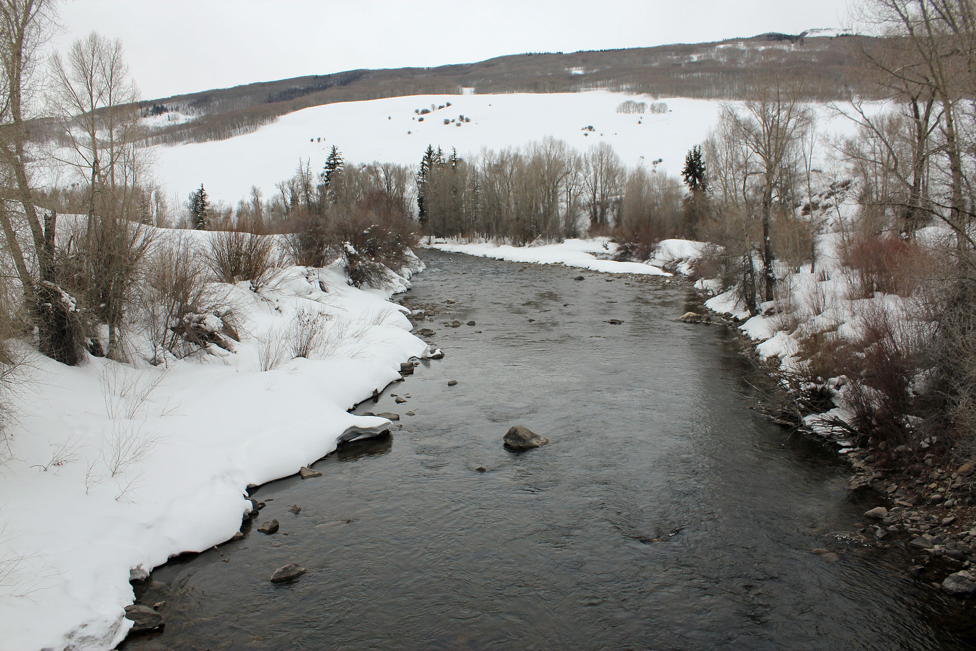
Eccher Gulch
~4 min drive
2.0 mi · Hard

Whetstone Vista
~8 min drive
1.9 mi · Easy

Upper Upper Loop
~10 min drive
A strenuous 3.79-mile out-and-back trail in Colorado featuring rocky terrain and connections to the Tony's Trail system.

Doctor Park
~14 min drive
13 mi · Hard
Crested Butte Mountain Summit
~10 min drive
1.6 mi · Easy

Crystal Peak
~18 min drive
3.2 mi · Moderate

Moonlight
~16 min drive
2.5 mi · Hard

Upper Loop
~12 min drive
2.8 mi · Easy
Lower Cement Creek
~1 min drive
3.3 mi · Moderate

Lily Lake
~18 min drive
7.1 mi · Hard
Local operatorsoffering guided trips. You book directly with them — Roamze doesn’t take a cut.
Taylor Park Trading Post
Hiking business nearby (~17 mi away) — hasn't claimed their Roamze page yet
Maroon Bells Guide and Outfitters
Hiking business nearby (~24 mi away) — hasn't claimed their Roamze page yet
Arrowhead Point Campground and Cabins
Hiking business nearby (~38 mi away) — hasn't claimed their Roamze page yet