Far View Community Sites
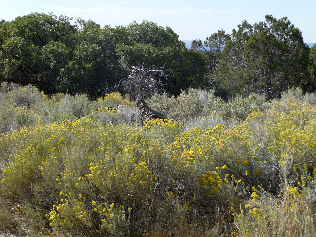 Photo: tpavel, CC BY 2.0 (via Flickr)
- 0.5 mi
- loop
- 45 ft
- climb
- 7,740 ft
- high point
- Loop
- route
- Apr–Oct
- best months
Caution at last check
Weather is marginal · OpenWeather · checked 14 h ago
Is Far View Community Sites open right now?
No closures listed
The National Park Service lists no closures for Mesa Verde National Park.
As of · Source: NPS · Mesa Verde National Park. Agencies don't list every closure — check before you go.
The Far View area was once an extensive farming community and one of the most densely populated regions of the Mesa Verde. This mesa top community includes Far View House, Pipe Shrine House, Coyote Village, Far View Reservoir (currently dry), Megalithic House, and Far View Tower. In ancient times, it was a place of modest homes interspersed with small farm fields. It was a place filled with people, vibrant life, and constant change. Beginning around 800 CE, Ancestral Pueblo people lived here for several centuries, farming the deep mesa-top soils, building their homes, and raising their families. This was not always a quiet woodland. On a summer day in 1050 this ancient community would have been filled with the smell of juniper smoke and the sounds of everyday life: conversations between people working together, barking dogs, laughing children, ravens calling overhead, and the wind rustling through the shiny corn leaves. In the mid-1100s, there may have been at least 35 occupied villages and surrounding farm and garden plots within a half-square-mile area, including those you can visit today. The archeological evidence at Far View reveal the presence of thriving mesa top communities long before the existence of the more famous cliff dwellings. But they also help disclose another, little known fact. Not everyone ultimately moved into and lived in the cliff dwellings. Some families clearly chose to remain on the mesa top, like those at Far View, well after many of their neighbors moved into cliff alcoves. As you follow the woodland trail among the six sites, read the trailside signs to learn about Ancestral Pueblo life in the surrounding landscape between 800 to 1300 CE. Take a step back in time and imagine corn (maize), beans, and squash plants sprinkled along the landscape. Trail Data 0.75 miles (1.2 km) loop (unpaved, level trail) Open 8:00 am to sunset Parking is limited to vehicles under 25 feet For Your Safety Dehydration and altitude sickness are common problems at Mesa Verde. Drink water and rest often. Avoid hiking during the hottest part of the day. While hiking, remain on the trail and avoid walking along unstable cliff edges. Pets and bicycles are not allowed on the trail. Please respect wildlife by observing them from a distance. This community is more than 750 years old. Please do your part to protect it for all to visit and enjoy.
Local outfitters
- Sundance RV Park9 mi away
- HTR Resorts31 mi away
Not on Roamze yet. Their page has how to reach them.
 Pack TrailHikingPhoto: Fredlyfish4, CC BY-SA 4.0 (via Wikimedia Commons)2.3 mi
- APW TrailHikingPhoto: Fredlyfish4, CC BY-SA 4.0 (via Wikimedia Commons)2.8 mi
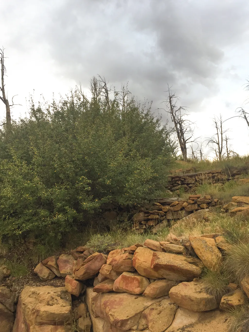 Farming Terrace TrailHikingPhoto: NPS / public domain3 mi
 Nordenskiold Site Overlook TrailHikingPhoto: markbyzewski, CC BY 2.0 (via Flickr)3.7 mi
 Morefield CampgroundCampingPhoto: Niagara66, CC BY-SA 4.0 (via Wikimedia Commons)6.4 mi
- Cortez - Hawkins PreserveRock climbing8.1 mi
- America's Tent LodgesCamping8.1 mi
- La Mesa RV ParkCamping8.4 mi
Source: Roamze catalog (indexable pages within 10 miles, PostGIS distance)
- Pack TrailHiking · ~4 min drivePhoto: Fredlyfish4, CC BY-SA 4.0 (via Wikimedia Commons)
- APW TrailHiking · ~5 min drivePhoto: Fredlyfish4, CC BY-SA 4.0 (via Wikimedia Commons)
- Farming Terrace TrailHiking · ~5 min drive
 Spruce Canyon TrailHiking · ~7 min drivePhoto: xiquinhosilva, CC BY 2.0 (via Flickr)
- Old Tourist Trail (Pack Trail)Hiking · ~9 min drive
 Farm Terrace TrailHiking · ~5 min drivePhoto: xiquinhosilva, CC BY 2.0 (via Flickr)
- Introduction & PithouseHiking · ~8 min drive
 Prater Ridge South Loop TrailHiking · ~10 min drivePhoto: w_lemay, CC BY-SA 2.0 (via Flickr)
- Nordenskiold Site Overlook TrailHiking · ~6 min drivePhoto: markbyzewski, CC BY 2.0 (via Flickr)
- Square Tower HouseHiking · ~8 min drive
Also worth it near here
 Wetherill MesaSummit · ~5 min drivePhoto: Ken Lund from Las Vegas, Nevada, USA, CC BY-SA 2.0 (via Wikimedia Commons)
- Morefield CampgroundCamping · ~11 min drivePhoto: Niagara66, CC BY-SA 4.0 (via Wikimedia Commons)
- Cortez - Hawkins PreserveRock climbing · ~14 min drive
 Short n' SweetMountain biking · ~14 min drivePhoto: MARELBU, CC BY 3.0 (via Wikimedia Commons)
Best time to visit Far View Community Sites
Best months: April–October. Best months have typical highs of 55–85 °F, lows of 30 °F or warmer (32 °F where the station doesn't record snow), at most one snowy day and no more than 12 wet days.
Jan
35° / 22°
9 wet
Feb
38° / 24°
8 wet
Mar
47° / 30°
8 wet
Apr
55° / 35°
7 wet
May
65° / 44°
6 wet
Jun
76° / 54°
4 wet
Jul
82° / 58°
10 wet
Aug
79° / 57°
9 wet
Sep
71° / 50°
7 wet
Oct
58° / 40°
6 wet
Nov
45° / 30°
6 wet
Dec
35° / 22°
9 wet
Typical high / low (°F) and days with rain or snow, 1991–2020. Measured at Cortez 8 Se, CO, 1.2 mi away at 8,034 ft. This station doesn't record snowfall. Source: NOAA NCEI U.S. Climate Normals 1991–2020.
