


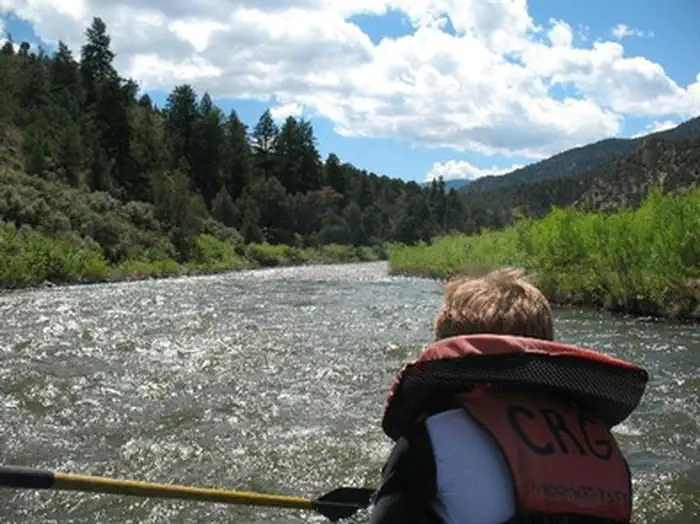
Rancho Del Rio
Hiking business nearby (~12 mi away) — hasn't claimed their Roamze page yet
Free — you'll pick up right here.
Watch this trail
Sign up to watch it — saving subscribes you to gate, closure and report changes.
Colorado
14.0 mi
Distance
1,025 ft
Gain
Weather is good
1 factor · 1 source
Observed 4 h ago
clear: Weather
Clouds, high 57°F / low 23°F, 0% precip — 98/100 for hike
OpenWeather4 h ago
Been out here in the last few days? One report keeps this current for everyone.
Why you'll love it
Elliott's Ridge
AI-suggested draft · review before you go
Elliott's Ridge is a 14.0 mile out-and-back trail located in Colorado near Colorado, managed by Pike-San Isabel National Forest under the Pikes Peak Ranger District. This route offers hikers a moderate to challenging experience suitable for those seeking a longer backcountry adventure in the Pike-San Isabel area. The trail follows an out-and-back format, allowing hikers to turn around at their desired point or continue to the ridge destination. This structure makes it accessible to hikers of varying abilities, as you can customize your total distance and time commitment. The full 14.0 mile distance represents a substantial day hike or backpacking option. As part of Pike-San Isabel National Forest, the trail provides access to the diverse ecosystems of the Pikes Peak region, featuring forest and ridgeline terrain. The area is known for its scenic views and recreational opportunities. Plan accordingly with proper permits if required by the Pikes Peak Ranger District and check current trail conditions before heading out, as weather in Colorado's Front Range can change rapidly.

Guthrie Gulch
~7 min drive
2.4 mi · Easy
Cataract Lake Loop
~8 min drive
2.1 mi · Moderate
Upper Cataract - Mirror Lake
~9 min drive
13 mi · Hard

Soda Lakes Trail
~11 min drive
0.9 mi · Easy
Eaglesmere Trail
~9 min drive
5.7 mi · Moderate
Lost Lake
~13 min drive
8.4 mi · Hard
North Fork Elliott Creek
~2 min drive
2.5 mi · Easy
Surprise Trail
~9 min drive
4.8 mi · Moderate

North Vail Trail
~20 min drive
7.2 mi · Hard
Mahan Lake Trail
~2 min drive
3.0 mi · Easy
Local operatorsoffering guided trips. You book directly with them — Roamze doesn’t take a cut.
Rancho Del Rio
Hiking business nearby (~12 mi away) — hasn't claimed their Roamze page yet
Flat Tops Wilderness Guides
Hiking business nearby (~41 mi away) — hasn't claimed their Roamze page yet
Camp Always Choose Adventures
Hiking business nearby (~45 mi away) — hasn't claimed their Roamze page yet