Burro Bridge Campground
Campground
Campground · 1.7 mi from the trail
Closure in the area
There's a closure order in San Juan National Forest. It doesn't name El Diente Peak, so check the source for the area it covers (3 listed).
Travel is not advised to the San Juan NF
Agency closure covering San Juan National Forest · USFS · San Juan National Forest
Closures and dangerous conditions on roads, bridges, and trails from flooding
Agency closure covering San Juan National Forest · USFS · San Juan National Forest
Multiple roads and trails damaged by flooding on SJNF
Agency closure covering San Juan National Forest · USFS · San Juan National Forest
Bear Activity High Across San Juan National Forest
Agency alert covering San Juan National Forest · USFS · San Juan National Forest
As of · Source: USFS · San Juan National Forest. Agencies don't list every closure — check before you go.
El Diente Peak is a 12-mile round-trip hike to the summit of a 14,140-foot peak in the Mancos/Dolores Ranger District of Colorado's San Juan National Forest. The route starts at Kilpacker and gains 4,400 feet of elevation, making it an expert-level out-and-back. The peak sits on Forest Service land, and the route was generated from OpenStreetMap trails and OpenRouteService foot-hiking routing. The climb is long and steep, with the summit at 14,140 feet. Mount Wilson lies just 0.1 mile away, and Kilpacker is about a mile off. Burro Bridge Campground is roughly 1.7 miles away, and the West Dolores River offers canoeing about 1.9 miles from the peak.
Burro Bridge Campground
Campground
Little Hawaii Grotto
Attraction
Places © OpenStreetMap contributors, Places © Overture Maps Foundation
More in TellurideNot on Roamze yet. Their page has how to reach them.
Daily highs and lows, wind and the chance of precipitation at the summit and route start for the next 7 days, from the Open-Meteo model.
 West Dolores RiverCanoeingPhoto: Jeffrey Beall, CC BY 4.0 (via Wikimedia Commons)1.9 mi
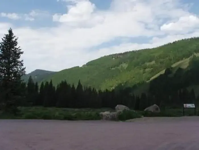 Cayton CampgroundCampingPhoto: Recreation.gov (RIDB) / public domain3.8 mi
Source: Roamze catalog (indexable pages within 10 miles, PostGIS distance)
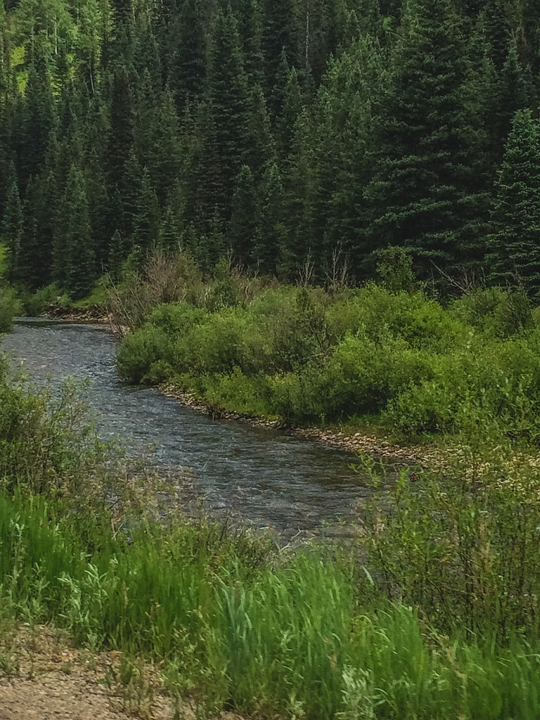 McjunkinHiking · ~7 min drivePhoto: Sale Family Memories, CC BY 2.0 (via Flickr)
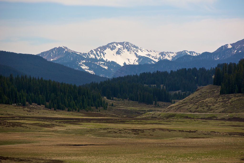 East Fork TrailHiking · ~10 min drivePhoto: cmirkin, CC BY-SA 2.0 (via Flickr)
 Sheep MountainHiking · ~13 min drivePhoto: sf-dvs, CC BY 2.0 (via Wikimedia Commons)
About 12.0 mi round trip from Kilpacker Trailhead.
About 4,400 ft of climbing round trip.
It is rated expert.
Kilpacker Trailhead.
© openrouteservice.org by HeiGIT | Map data © OpenStreetMap contributors

