Colorado · Hiking · Lizard Head Wilderness
Kilpacker Basin
- 3.9 mi
- round trip
- 1,147 ft
- climb
- 11,388 ft
- high point
- Out and back
- route
Kilpacker Basin is a 3.9-mile out-and-back hike in the Lizard Head Wilderness, part of the Mancos/Dolores Ranger District of the San Juan National Forest in Colorado. The trail climbs from about 10,250 feet to roughly 11,388 feet, a gain of about 1,147 feet, and is rated moderate. The route is on natural surface, and horses are allowed. Bikes are not. The Forest Service manages the land. The Kilpacker hike lies about a mile away, and Navajo Lake is about 1.3 miles off. Burro Bridge Campground, about 2.6 miles away, and the West Dolores River, about 2.2 miles away, are the closest places to camp and paddle.
- KilpackerHiking1 mi
- Navajo LakeHiking1.3 mi
 West Dolores RiverCanoeingPhoto: Jeffrey Beall, CC BY 4.0 (via Wikimedia Commons)2.2 mi
- Burro Bridge CampgroundCamping2.6 mi
- Woods Lake CampgroundCamping4.7 mi
- Fall CreekCanoeing7 mi
- The Wild WesterliesRock climbing9.9 mi
 The SlabsRock climbingPhoto: Ken Lund, CC BY-SA 2.0 (via Flickr)10 mi
Source: Roamze catalog (indexable pages within 10 miles, PostGIS distance)
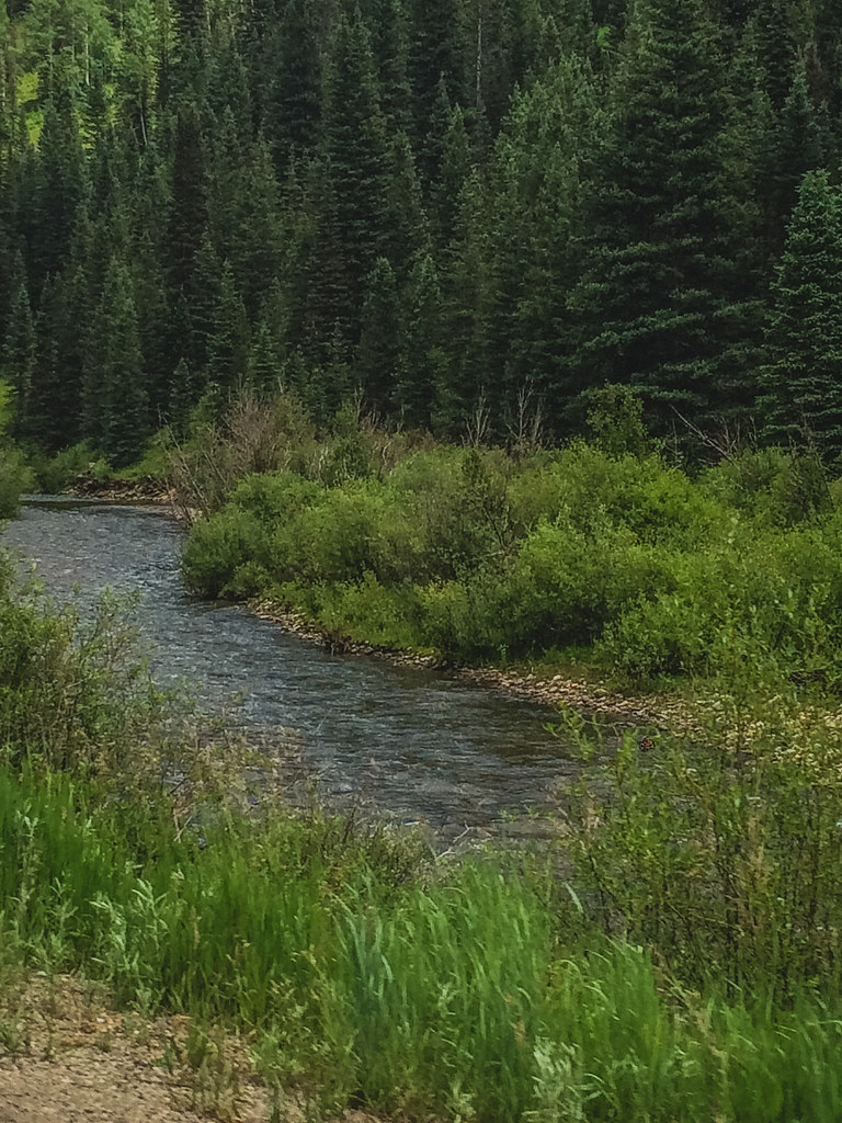 McjunkinHiking · ~9 min drivePhoto: Sale Family Memories, CC BY 2.0 (via Flickr)
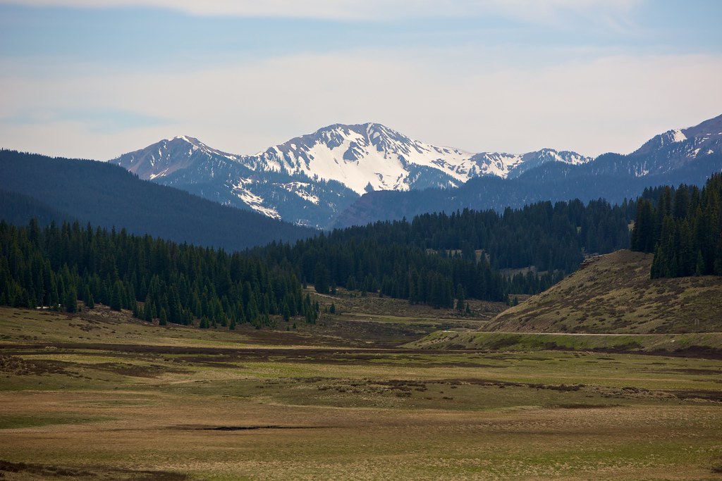 East Fork TrailHiking · ~10 min drivePhoto: cmirkin, CC BY-SA 2.0 (via Flickr)
- Burro BridgeHiking · ~4 min drive
- Wilson PeakHiking · ~8 min drive
 Sheep MountainHiking · ~13 min drivePhoto: sf-dvs, CC BY 2.0 (via Wikimedia Commons)
- KilpackerHiking · ~2 min drive
- Rock of Ages ConnectionHiking · ~6 min drive
- Boskoff PeakHiking · ~8 min drive
- WinterHiking · ~6 min drive
- Woods LakeHiking · ~7 min drive

