Kilpacker
- 6.9 mi
- round trip
- 987 ft
- climb
- 10,310 ft
- high point
- Out and back
- route
Is Kilpacker open right now?
Closure in the area
There's a closure order in San Juan National Forest. It doesn't name Kilpacker, so check the source for the area it covers (3 listed).
Travel is not advised to the San Juan NF
Agency closure covering San Juan National Forest · USFS · San Juan National Forest
Closures and dangerous conditions on roads, bridges, and trails from flooding
Agency closure covering San Juan National Forest · USFS · San Juan National Forest
Multiple roads and trails damaged by flooding on SJNF
Agency closure covering San Juan National Forest · USFS · San Juan National Forest
Bear Activity High Across San Juan National Forest
Agency alert covering San Juan National Forest · USFS · San Juan National Forest
As of · Source: USFS · San Juan National Forest. Agencies don't list every closure — check before you go.
Kilpacker is a hard hike in Colorado's San Juan National Forest, within the Mancos/Dolores Ranger District. The trail is an out-and-back of about 6.9 miles, with a one-way elevation gain of 987 feet, taking you from a low point of about 10,047 feet to a high of about 10,310 feet. The Forest Service manages the land, and the trail is natural-surfaced and open to horses. Summer is the most comfortable time to go. Typical averages from a nearby weather station in Silverton show July highs around 75°F with lows near 38°F, while winter highs stay in the mid-30s and lows drop to about -6°F in January. That station sits roughly 1,000 feet below the trail, so temperatures on the route run cooler. The trail is open from about June 15 to October 15, and the Kilpacker Trailhead is the parking for the route. Navajo Lake and Mount Wilson are both within a mile, and Burro Bridge Campground is about 1.6 miles away.
- Navajo LakeHiking0.7 mi
- Mount WilsonHiking0.9 mi
- El Diente PeakHiking0.9 mi
 West Dolores RiverCanoeingPhoto: Jeffrey Beall, CC BY 4.0 (via Wikimedia Commons)1.4 mi
- Burro Bridge CampgroundCamping1.6 mi
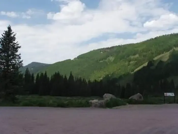 Cayton CampgroundCampingPhoto: Recreation.gov (RIDB) / public domain4.6 mi
- Woods Lake CampgroundCamping5.6 mi
- Fish CreekCanoeing7.3 mi
Source: Roamze catalog (indexable pages within 10 miles, PostGIS distance)
