East Maroon
- 2.0 mi
- round trip
- 561 ft
- climb
- 11,834 ft
- high point
- Out and back
- route
Is East Maroon open right now?
Alert in the area
The Forest Service lists 6 alerts for White River National Forest.
FSR 286, Radical Hill, is closed due to washouts and unsafe conditions
Agency alert covering White River National Forest · USFS · White River National Forest
Limited parking at Snowmass Creek Trailhead
Agency alert covering White River National Forest · USFS · White River National Forest
Grizzly Creek Trail Closure
Agency alert covering White River National Forest · Order 2026-02 · USFS · White River National Forest
Ruedi Marina Day Use area Dump Station is CLOSED
Agency alert covering White River National Forest · USFS · White River National Forest
Asbestos safety closure - Camp Hale
Agency alert covering White River National Forest · USFS · White River National Forest
As of · Source: USFS · White River National Forest. Agencies don't list every closure — check before you go.
East Maroon is a short, easy out-and-back hike in Colorado's Maroon Bells-Snowmass Wilderness, within the Aspen Ranger District of the White River National Forest. The trail is about 2 miles long, with a one-way elevation gain of 561 feet, and it runs from a low point of about 11,277 feet to a high of about 11,834 feet. The route is on natural surface, and it is open to horses. Bikes are not allowed. The Forest Service manages the land, and the trail is open year-round. The Conundrum Trail lies about 1.5 miles away, and the Copper Pass Spur Trail is about 1.7 miles off. Gothic Campground is about 4.6 miles away, and Maroon Lake Scenic, a lake fishing spot, is about 5.6 miles away.
Go with a guide
- Mineral Belt Trail Guided WalkNexPM AI · $25 per person · 38 mi away
- Maroon Bells Guide and Outfitters11 mi away
- Conundrum TrailHiking1.5 mi
- Copper Pass Spur TrailHiking1.7 mi
- Gothic CampgroundCamping4.6 mi
 Campsites GC 4-8CampingPhoto: James St. John, CC BY 2.0 (via Wikimedia Commons)4.6 mi
- Crested ButteRock climbing4.9 mi
- Maroon Lake ScenicLake fishing5.6 mi
- East RiverCanoeing7.1 mi
- Skyland BouldersRock climbing9.2 mi
Source: Roamze catalog (indexable pages within 10 miles, PostGIS distance)
 Trail near Maroon PeakHiking · ~7 min drivePhoto: KimonBerlin, CC BY-SA 2.0 (via Wikimedia Commons)
 Precarious PeakHiking · ~8 min drivePhoto: Jeffrey Pang from Berkeley, CA, USA, CC BY 2.0 (via Wikimedia Commons)
 Copper CreekHiking · ~8 min drivePhoto: Charlie DeTar, CC BY-SA 3.0 (via Wikimedia Commons)
 Electric PassHiking · ~9 min drivePhoto: jl_2, CC BY-SA 2.0 (via Flickr)
- Trail near Pyramid PeakHiking · ~7 min drivePhoto: KimonBerlin, CC BY-SA 2.0 (via Wikimedia Commons)
 Maroon PeakHiking · ~10 min drivePhoto: Sandy Horvath-Dori from Grand Junction, CO, USA, CC BY 2.0 (via Wikimedia Commons)
 Maroon-Snowmass TrailHiking · ~10 min drivePhoto: Michael Kirsh, CC BY-SA 2.0 (via Flickr)
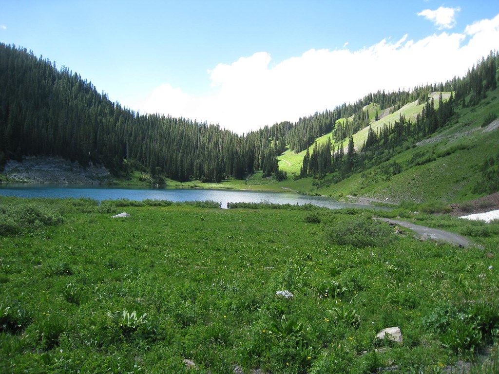 Schofield TrailHiking · ~9 min drivePhoto: GSEC, CC BY 2.0 (via Flickr)
- Judd FallsHiking · ~8 min drivePhoto: Charlie DeTar, CC BY-SA 3.0 (via Wikimedia Commons)
- North Maroon PeakHiking · ~10 min drivePhoto: Sandy Horvath-Dori from Grand Junction, CO, USA, CC BY 2.0 (via Wikimedia Commons)

