Eaglesmere Trail
- 5.7 mi
- round trip
- 2,852 ft
- climb
- 10,280 ft
- high point
- Out and back
- route
- Jun–Jul
- best months
Is Eaglesmere Trail open right now?
Alert in the area
The Forest Service lists 6 alerts for White River National Forest.
FSR 286, Radical Hill, is closed due to washouts and unsafe conditions
Agency alert covering White River National Forest · USFS · White River National Forest
Limited parking at Snowmass Creek Trailhead
Agency alert covering White River National Forest · USFS · White River National Forest
Grizzly Creek Trail Closure
Agency alert covering White River National Forest · Order 2026-02 · USFS · White River National Forest
Ruedi Marina Day Use area Dump Station is CLOSED
Agency alert covering White River National Forest · USFS · White River National Forest
Asbestos safety closure - Camp Hale
Agency alert covering White River National Forest · USFS · White River National Forest
As of · Source: USFS · White River National Forest. Agencies don't list every closure — check before you go.
Eaglesmere Trail is a 5.7-mile out-and-back hike in the Dillon Ranger District of Colorado's White River National Forest. The route rises from a low point of 8,716 feet to a high point of 10,280 feet, a climb of about 2,850 feet, and it is rated moderate. The trail is managed by the Forest Service and is open year-round. The trailhead is called Eaglesmere Trailhead, and parking is available there. The trail is natural-surfaced, and horses are allowed. Bikes are not. That makes it a good fit for riders on horseback and a natural choice for a longer day in the high country. Summer is the most comfortable time to go. Typical averages from a nearby weather station in Dillon, at a lower elevation, run to highs around 75°F in July, and temperatures on the trail run cooler. Winter brings highs near 30°F and lows around zero. Lower Cataract Lake Loop #57 is about 0.2 miles away, and Surprise Trail is about 0.4 miles off. Cataract Creek Campground is about half a mile away, and Cataract Lake (Heeney, Colorado) is about 0.9 miles away.
Go with a guide
- Mineral Belt Trail Guided WalkRoamze · $25 per person · 41 mi away
- Rancho Del Rio16 mi away
Best time to go · Jun–Jul
Best time to visit Eaglesmere Trail
Best months: June–July. Best months have typical highs of 55–85 °F, lows of 30 °F or warmer (32 °F where the station doesn't record snow), at most one snowy day and no more than 12 wet days.
Jan
31° / 1°
12 wet
Feb
33° / 4°
11 wet
Mar
41° / 10°
11 wet
Apr
47° / 18°
11 wet
May
58° / 26°
10 wet
Jun
69° / 33°
9 wet
Jul
75° / 38°
12 wet
Aug
73° / 37°
13 wet
Sep
66° / 30°
10 wet
Oct
54° / 21°
8 wet
Nov
41° / 11°
9 wet
Dec
32° / 3°
11 wet
Typical high / low (°F) and days with rain or snow, 1991–2020. Measured at Dillon 1 E, CO, 21 mi away at 9,065 ft. The station sits about 1,200 ft lower than this place, so expect it a little cooler here. This station doesn't record snowfall. Source: NOAA NCEI U.S. Climate Normals 1991–2020.
Keep exploring — more trails worth the drive
 Photo: jl_2, CC BY-SA 2.0 (via Flickr)
Upper Piney Lake Trail
~13 min drive
4.74-mile trail in Colorado with 1,200 ft gain and 10,800 ft max elevation
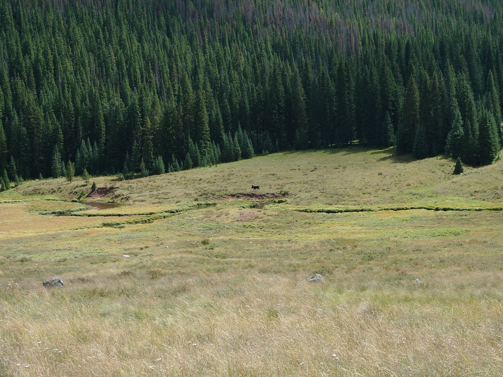 Photo: jl_2, CC BY-SA 2.0 (via Flickr)
Soda Lakes Trail
~15 min drive
0.93-mile out-and-back hike in Colorado's White River National Forest with 315 ft gain.
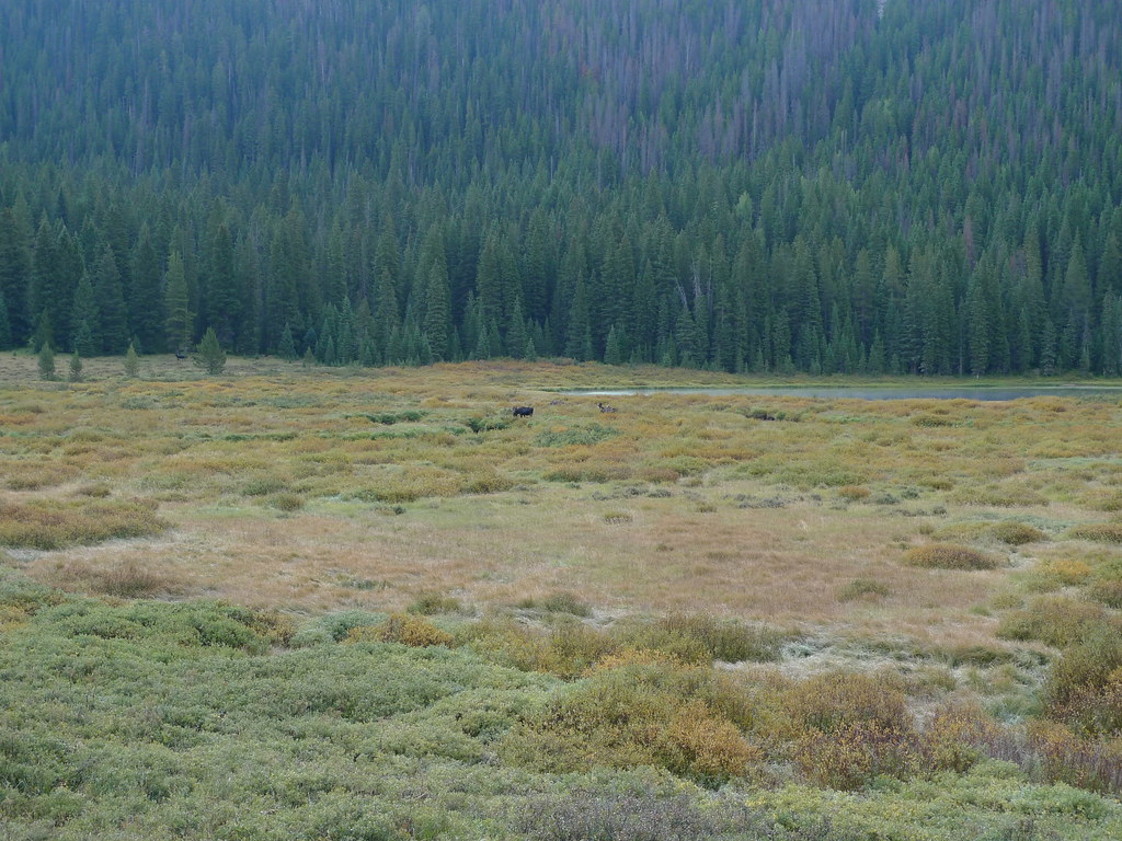 Photo: jl_2, CC BY-SA 2.0 (via Flickr)
Upper Piney
~16 min drive
5.89-mile out-and-back trail in Colorado's White River National Forest with 500 ft gain.
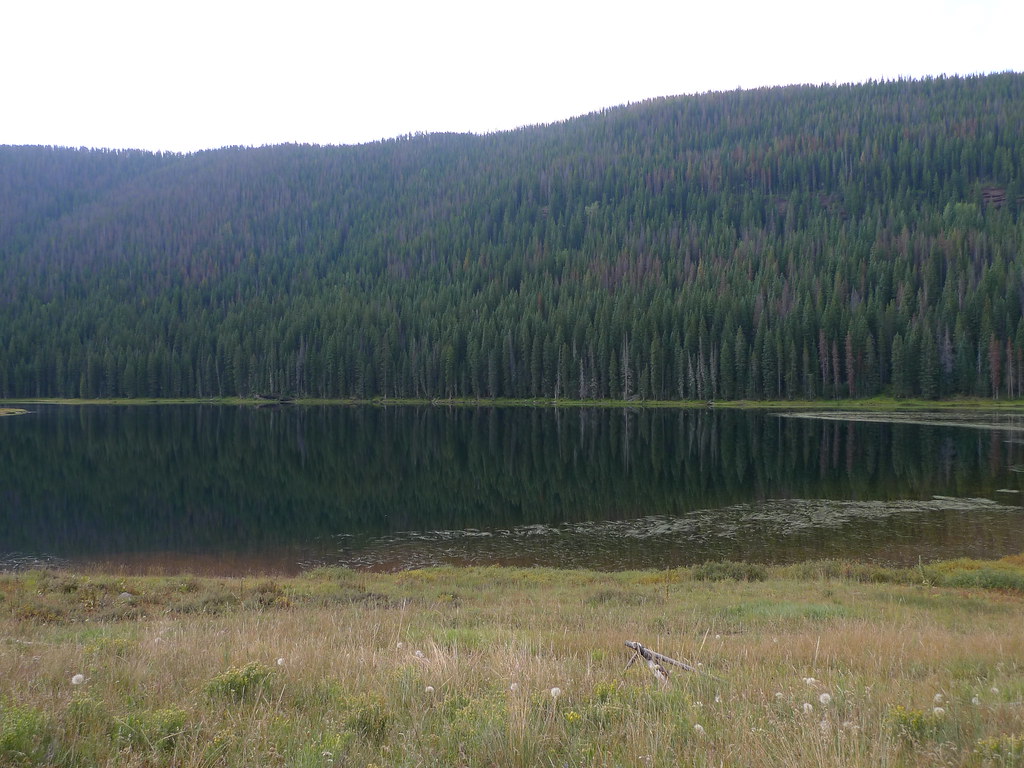 Photo: jl_2, CC BY-SA 2.0 (via Flickr)
Mount Powell
~16 min drive
Route to the summit of Mount Powell (13,586 ft) from Piney River Ranch.
 Photo: jl_2, CC BY-SA 2.0 (via Flickr)
East Meadow Creek
~15 min drive
13.94-mile out-and-back trail in Colorado with 1,185 ft of elevation gain.
HIKE
Guthrie Gulch
~2 min drive
2.43-mile out-and-back trail in Colorado's White River National Forest with 112 ft of elevation gain.
Photo: jl_2, CC BY-SA 2.0 (via Flickr)Lost Lake to Piney
~18 min drive
3.14-mile out-and-back trail from Lost Lake to Piney in Colorado's White River National Forest.
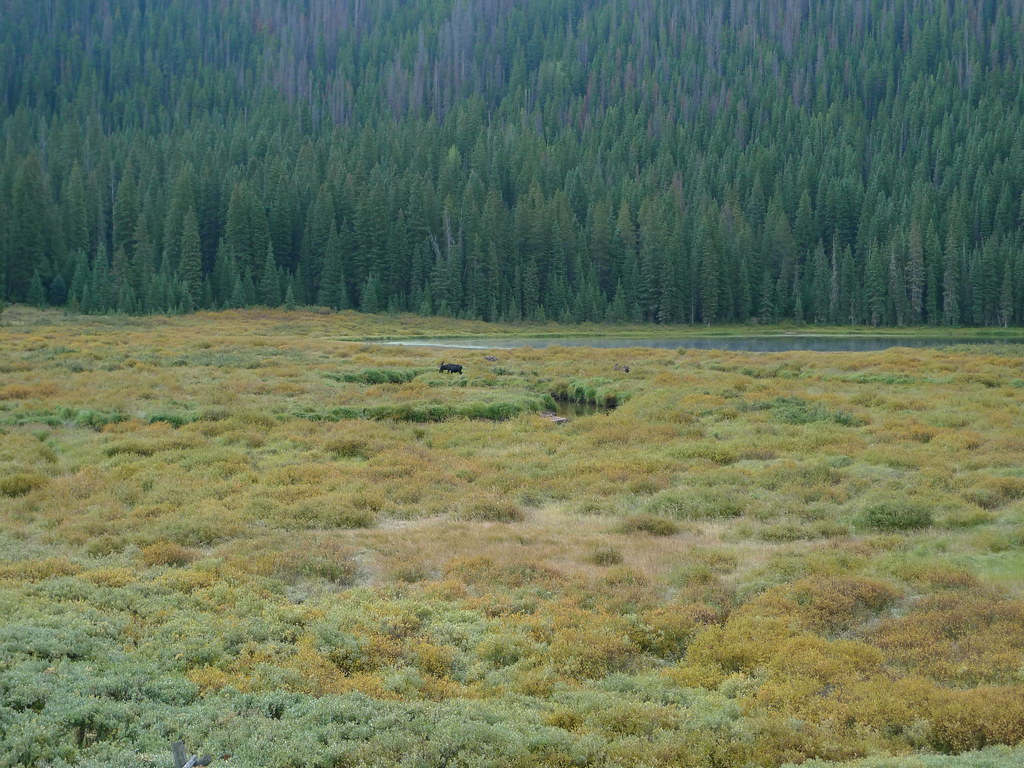 Photo: jl_2, CC BY-SA 2.0 (via Flickr)
Lost Lake
~16 min drive
8.45-mile out-and-back trail to Lost Lake in Colorado, 227 ft gain, 10,263 ft max elevation
HIKE
Gore Range Trail
~5 min drive
0.64-mile out-and-back trail in Colorado's Gore Range with 164 ft gain.
HIKE
Surprise Trail
Next door
4.79-mile out-and-back hike in Colorado's White River National Forest with 1,327 ft gain.

