The Camp
Campground
Campground · 2.0 mi from the trail
Eagle's Tail Trail is a short, easy hike on Bureau of Land Management land in the Grand Junction Field Office, about 9 miles from Grand Junction, Colorado. The trail is an out-and-back of about 1.9 miles, starting at roughly 4,760 feet and climbing to about 4,980 feet, with a total gain of 489 feet. The route is rolling, with the steepest section at the start, and the trail returns to its low point at the end. Spring and fall are the most comfortable times to go. Typical averages from a nearby weather station show May highs around 77°F and October highs around 67°F, while July averages about 95°F. The trail sits close to other outdoor spots. Pet-E-Kes Trail and the Moto Trail are each about 0.2 miles away, and the Indian Garden Boulders are about 0.4 miles off. For an overnight stay, The Camp is about 2 miles away.
The Camp
Campground
 If it rainsJeffrey Beall, CC BY-SA 3.0 · Wikimedia Commons
Places © OpenStreetMap contributors, Places © Overture Maps Foundation · Photos: Jeffrey Beall, CC BY-SA 3.0 (commons)
More in CliftonNot on Roamze yet. Their page has how to reach them.
 Moto TrailMountain bikingPhoto: Jimmy Thomas from Grand Junction, CC BY-SA 2.0 (via Wikimedia Commons)0.2 mi
Source: Roamze catalog (indexable pages within 10 miles, PostGIS distance)
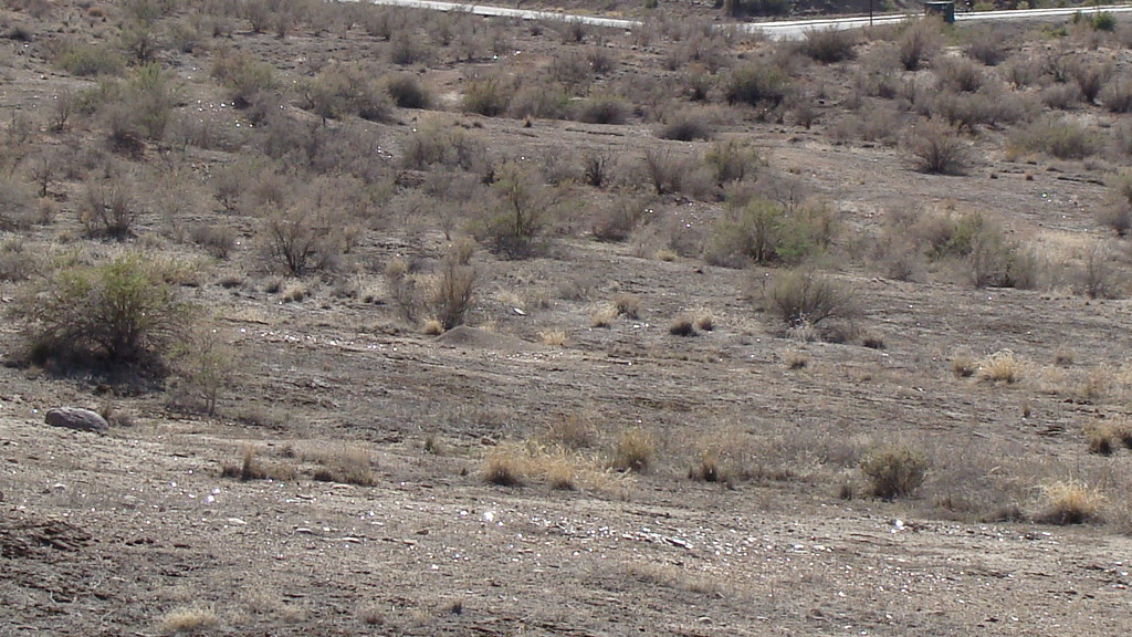 Painted Bowl TrailHiking · ~1 min drivePhoto: iagoarchangel, CC BY-SA 2.0 (via Flickr)
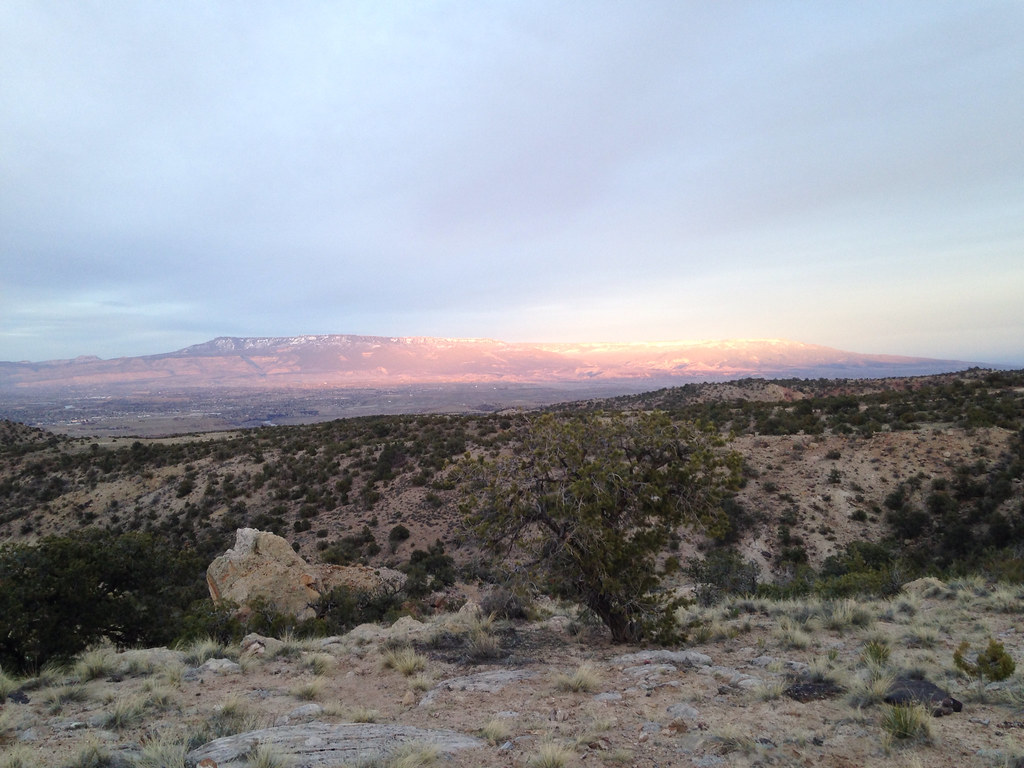 Holy Cross TrailHiking · ~1 min drivePhoto: iagoarchangel, CC BY-SA 2.0 (via Flickr)Hop Skip and Jump TrailHiking · ~1 min drivePhoto: iagoarchangel, CC BY-SA 2.0 (via Flickr)
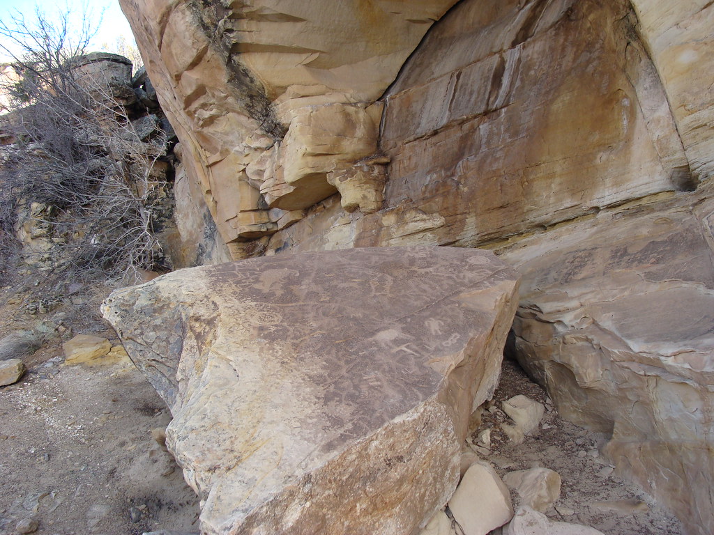 Eagle's Connector TrailHiking · ~1 min drivePhoto: iagoarchangel, CC BY-SA 2.0 (via Flickr)Time Machine TrailHiking · ~1 min drivePhoto: iagoarchangel, CC BY-SA 2.0 (via Flickr)
 Old Gordon TrailHiking · ~2 min drivePhoto: iagoarchangel, CC BY-SA 2.0 (via Flickr)
 Yes N Dee Dee TrailHiking · ~2 min drivePhoto: iagoarchangel, CC BY-SA 2.0 (via Flickr)Free Lunch TrailHiking · ~3 min drivePhoto: iagoarchangel, CC BY-SA 2.0 (via Flickr)
Best months: March–May and September–October. Best months have typical highs of 55–85 °F, lows of 30 °F or warmer (32 °F where the station doesn't record snow), at most one snowy day and no more than 12 wet days.
Jan
39° / 19°
Feb
47° / 26°
Mar
59° / 35°
Apr
67° / 41°
May
77° / 50°
Jun
89° / 59°
Jul
95° / 66°
Aug
91° / 64°
Sep
82° / 55°
Oct
67° / 42°
Nov
52° / 30°
Dec
39° / 21°
Typical high / low (°F) and days with rain or snow, 1991–2020. Measured at Grand Junction Wfo, CO, 7 mi away at 4,826 ft. This station doesn't record snowfall. Source: NOAA NCEI U.S. Climate Normals 1991–2020.
Map and trail data © OpenStreetMap contributors

