Cutover
- 2.6 mi
- round trip
- 196 ft
- climb
- 8,598 ft
- high point
- Out and back
- route
- Jun–Sep
- best months
Is Cutover open right now?
Closure in the area
There's a closure order in Hahns Peak-Bears Ears Ranger District. It doesn't name Cutover, so check the source for the area it covers.
Area Closure for the Fishhook Fire - Routt National Forest
Agency closure covering Hahns Peak-Bears Ears Ranger District · Order 02-06-03-26-222 · USFS · Hahns Peak-Bears Ears Ranger District
Access Impact: Big Creek Lakes Dam Project
Agency alert covering Medicine Bow-Routt National Forest · USFS · Medicine Bow-Routt National Forest
Trail & Access Impact: Stillwater Reservoir Project
Agency alert covering Medicine Bow-Routt National Forest · USFS · Medicine Bow-Routt National Forest
Snowy Range - 2026 Active Vegetation Operations
Agency alert covering Medicine Bow-Routt National Forest · USFS · Medicine Bow-Routt National Forest
As of · Source: USFS · Hahns Peak-Bears Ears Ranger District. Agencies don't list every closure — check before you go.
Cutover is an easy, 2.6-mile out-and-back hike in the Hahns Peak-Bears Ears Ranger District of Medicine Bow-Routt National Forest, managed by the Forest Service. The nearest town is Glen Eden, about 6 miles away. The trail is rated easy, with an elevation gain of about 200 feet. It's a short, low-cruising walk that reaches a high point of about 8,600 feet. The surface is natural, and the route is open to bikes and horses. Summer is the most comfortable time to go. Typical averages from a nearby weather station in Spicer put July highs around 77°F with lows near 42°F, while winter highs stay below freezing. Climbers will find the Shield of the Titans and Stump Buttress areas about 0.3 miles away. The Pearl Lake Trail is about a mile off, and Hinman Park Campground lies roughly 2.7 miles away.
Local outfitters
- Deer Haven RV Park47 mi away
Not on Roamze yet. Their page has how to reach them.
Best time to go · Jun–Sep
Best time to visit Cutover
Best months: June–September. Best months have typical highs of 55–85 °F, lows of 30 °F or warmer (32 °F where the station doesn't record snow), at most one snowy day and no more than 12 wet days.
Jan
28° / 7°
8 wet
Feb
31° / 9°
8 wet
Mar
40° / 15°
8 wet
Apr
49° / 23°
9 wet
May
59° / 30°
10 wet
Jun
71° / 36°
8 wet
Jul
77° / 42°
9 wet
Aug
76° / 40°
11 wet
Sep
68° / 34°
8 wet
Oct
55° / 25°
7 wet
Nov
39° / 16°
8 wet
Dec
29° / 9°
8 wet
Typical high / low (°F) and days with rain or snow, 1991–2020. Measured at Spicer, CO, 30.1 mi away at 8,385 ft. This station doesn't record snowfall. Source: NOAA NCEI U.S. Climate Normals 1991–2020.
Keep exploring — more trails worth the drive
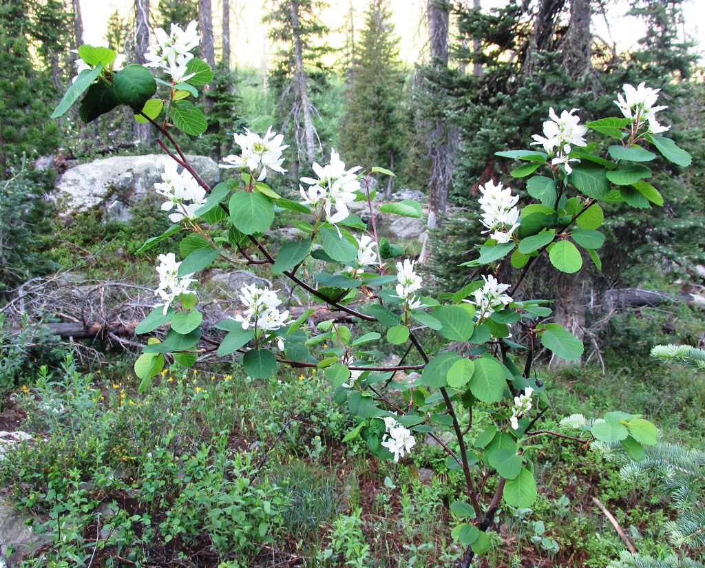 Photo: brewbooks, CC BY-SA 2.0 (via Flickr)
Wyoming Trail
~12 min drive
17.71-mile out-and-back trail in Colorado with 2,830 ft gain and 11,148 ft max elevation.
Photo: brewbooks, CC BY-SA 2.0 (via Flickr)Mica Basin
~13 min drive
5.46-mile out-and-back trail in Colorado's Medicine Bow-Routt National Forest with 1,359 ft gain.
HIKE
Pearl Lake Trail
~4 min drive
1.09-mile out-and-back hike in Colorado with 200 ft gain and 8,800 ft max elevation.
Photo: brewbooks, CC BY-SA 2.0 (via Flickr)Gilpin
~12 min drive
12.06-mile out-and-back trail in Colorado's Medicine Bow-Routt National Forest with 2,317 ft gain.
HIKE
Pearl Lake Trail
~2 min drive
6.40-mile out-and-back hike in Colorado's Medicine Bow-Routt National Forest with 800 ft elevation gain.
HIKE
Willow Creek Trail
~9 min drive
1.37-mile trail in Colorado with 300 ft gain, creek crossings, and wildlife encounters.
 Photo: brewbooks, CC BY-SA 2.0 (via Flickr)
Three Island Lake
~13 min drive
11.40-mile out-and-back hike to Three Island Lake in Colorado's Medicine Bow-Routt National Forest.
HIKE
South Fork
~5 min drive
5.94-mile out-and-back trail in Colorado with 546 ft elevation gain.
HIKE
Tombstone Nature Trail
~10 min drive
1.04-mile point-to-point hike in Colorado with 150 ft of elevation gain.
 Photo: brewbooks, CC BY-SA 2.0 (via Flickr)
Gold Creek Lake
~15 min drive
14.26-mile out-and-back trail to Gold Creek Lake in Colorado's Medicine Bow-Routt National Forest.
