The Camp
Campground
Campground · 1.9 mi from the trail
Coyote Ridge Trail is a short, easy hike on Bureau of Land Management land in the Grand Junction Field Office, about 0.36 miles from the start. The route is an out-and-back of about 0.72 miles, with a total climb of 165 feet and a steepest grade of about 10% near the beginning. The trail starts at about 4,822 feet and reaches a high point of about 4,970 feet. Spring and fall are the most comfortable times to go. Typical averages from a nearby weather station in Grand Junction show May highs around 77°F and October highs around 67°F, while July averages about 95°F. Several other trails sit within a tenth of a mile, including Miramonte Trail, Ali Ali Loop and Miramonte Rim Trail. Climbers can find Indian Garden Boulders about 0.2 miles away.
The Camp
Campground
 If it rainsJeffrey Beall, CC BY-SA 3.0 · Wikimedia Commons
Places © OpenStreetMap contributors, Places © Overture Maps Foundation · Photos: Jeffrey Beall, CC BY-SA 3.0 (commons)
More in CliftonNot on Roamze yet. Their page has how to reach them.
Source: Roamze catalog (indexable pages within 10 miles, PostGIS distance)
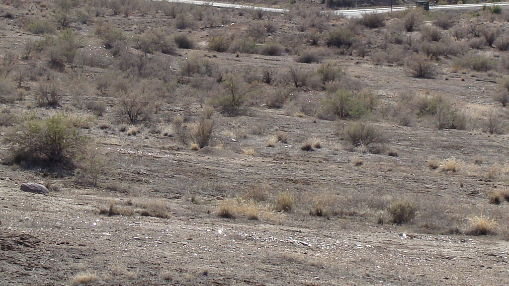 Time Machine TrailHiking · Next doorPhoto: iagoarchangel, CC BY-SA 2.0 (via Flickr)
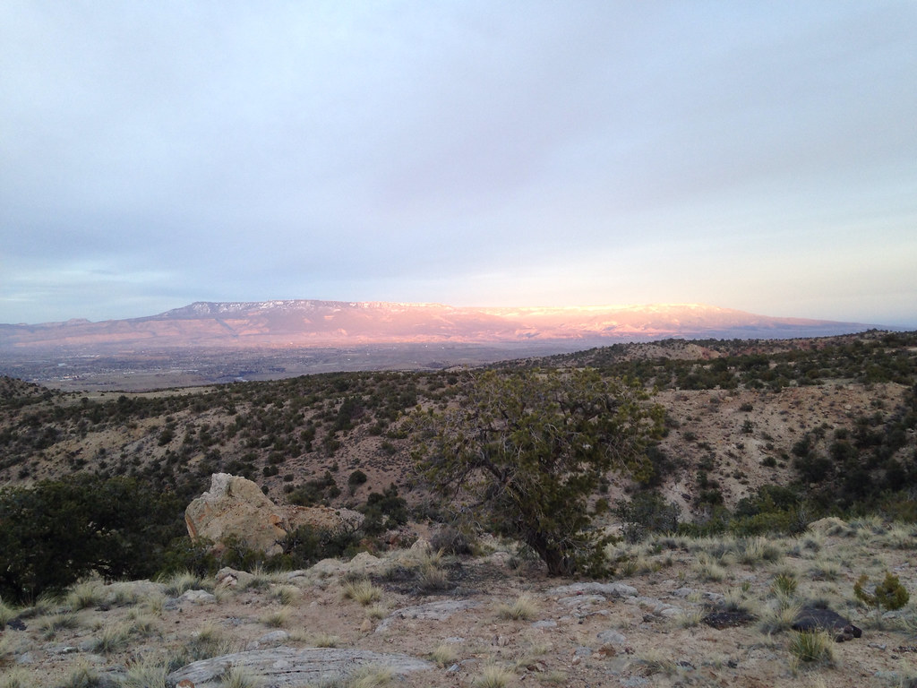 Holy Cross TrailHiking · ~1 min drivePhoto: iagoarchangel, CC BY-SA 2.0 (via Flickr)Painted Bowl TrailHiking · ~1 min drivePhoto: iagoarchangel, CC BY-SA 2.0 (via Flickr)
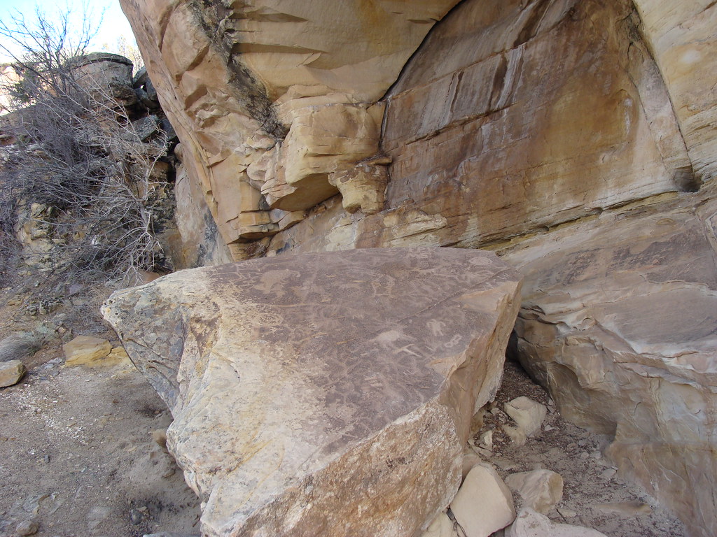 Eagle's Connector TrailHiking · ~2 min drivePhoto: iagoarchangel, CC BY-SA 2.0 (via Flickr)
 Yes N Dee Dee TrailHiking · ~1 min drivePhoto: iagoarchangel, CC BY-SA 2.0 (via Flickr)Free Lunch TrailHiking · ~3 min drivePhoto: iagoarchangel, CC BY-SA 2.0 (via Flickr)
 Gunnector TrailHiking · ~2 min drivePhoto: iagoarchangel, CC BY-SA 2.0 (via Flickr)
 Andy's TrailHiking · ~3 min drivePhoto: iagoarchangel, CC BY-SA 2.0 (via Flickr)
Best months: March–May and September–October. Best months have typical highs of 55–85 °F, lows of 30 °F or warmer (32 °F where the station doesn't record snow), at most one snowy day and no more than 12 wet days.
Jan
39° / 19°
Feb
47° / 26°
Mar
59° / 35°
Apr
67° / 41°
May
77° / 50°
Jun
89° / 59°
Jul
95° / 66°
Aug
91° / 64°
Sep
82° / 55°
Oct
67° / 42°
Nov
52° / 30°
Dec
39° / 21°
Typical high / low (°F) and days with rain or snow, 1991–2020. Measured at Grand Junction Wfo, CO, 6.7 mi away at 4,826 ft. This station doesn't record snowfall. Source: NOAA NCEI U.S. Climate Normals 1991–2020.
Map and trail data © OpenStreetMap contributors


